File:Kochi catsle museum - 高知城歴史博物館 - panoramio.jpg
Jump to navigation
Jump to search
Size of this preview: 799 × 370 pixels. Other resolutions: 320 × 148 pixels | 640 × 296 pixels | 1,024 × 474 pixels | 1,280 × 593 pixels | 3,455 × 1,600 pixels.
Original file (3,455 × 1,600 pixels, file size: 761 KB, MIME type: image/jpeg)
Captions
Captions
Add a one-line explanation of what this file represents
Summary
[edit]
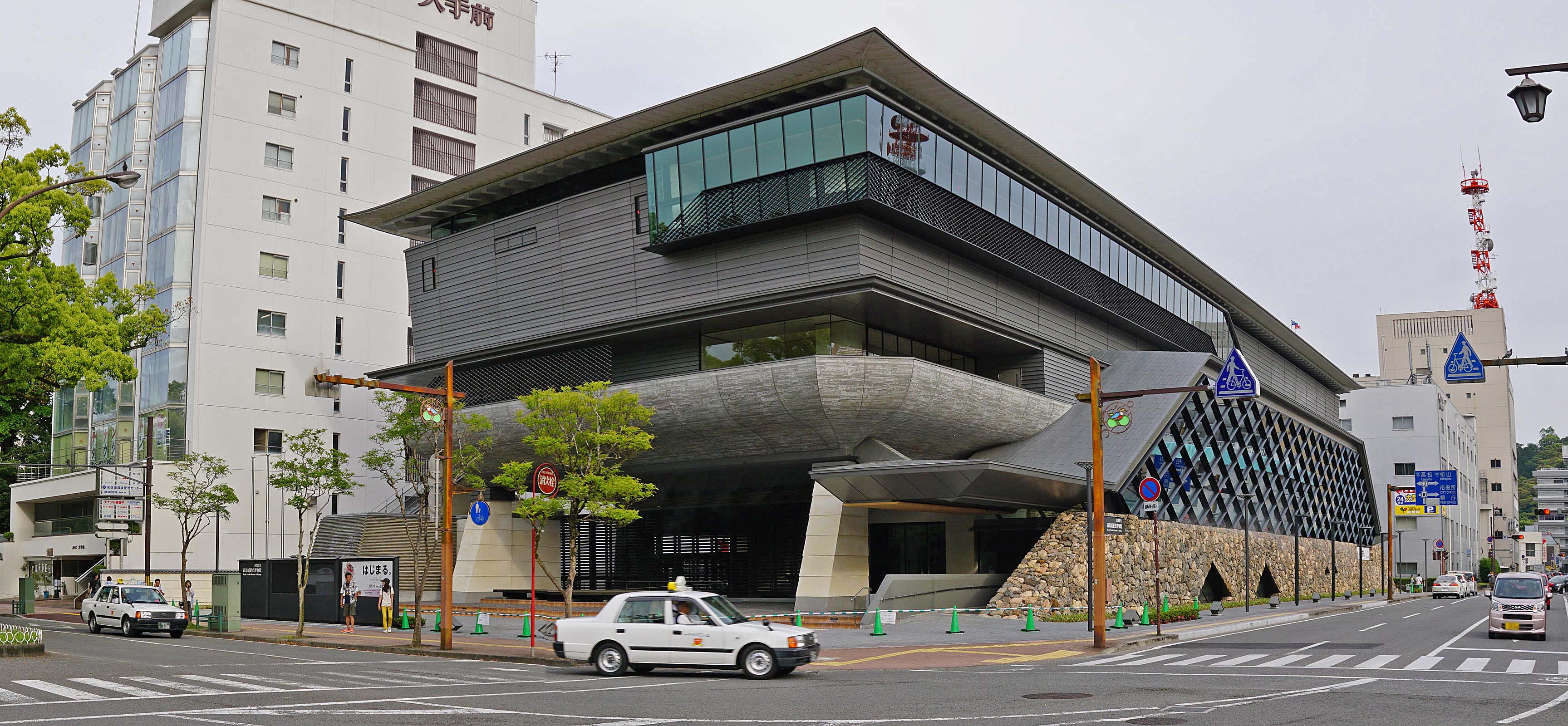
| Description | Kochi catsle museum / 高知城歴史博物館 | ||
| Date | Taken on 5 May 2016 | ||
| Source | https://web.archive.org/web/20161103041140/http://www.panoramio.com/photo/130648022 | ||
| Author | z tanuki | ||
| Permission (Reusing this file) |
This file is licensed under the Creative Commons Attribution 3.0 Unported license. Attribution: z tanuki
|
||
| Panoramio Tags | Kōchi-shi, 2016, 日本, 高知市, 高知県 |
| Camera location | | View this and other nearby images on: OpenStreetMap |
|---|
File history
Click on a date/time to view the file as it appeared at that time.
| Date/Time | Thumbnail | Dimensions | User | Comment | |
|---|---|---|---|---|---|
| current | 20:46, 11 July 2017 | | 3,455 × 1,600 (761 KB) | Panoramio upload bot (talk | contribs) | == {{int:filedesc}} == {{Information |description=Kochi catsle museum / 高知城歴史博物館 |date={{Taken on|2016-05-05}} |source=http://www.panoramio.com/photo/130648022 |author=[http://www.panoramio.com/user/238971?with_photo_id=130648022 z tanu... |
You cannot overwrite this file.
File usage on Commons
The following page uses this file:
File usage on other wikis
The following other wikis use this file:
- Usage on en.wikipedia.org
- Usage on ja.wikipedia.org
- Usage on th.wikipedia.org
- Usage on www.wikidata.org