File:Kostyantinyvka-Ukraine-Map.png
Jump to navigation
Jump to search
Size of this preview: 800 × 559 pixels. Other resolutions: 320 × 224 pixels | 640 × 447 pixels | 1,024 × 715 pixels | 1,181 × 825 pixels.
Original file (1,181 × 825 pixels, file size: 27 KB, MIME type: image/png)
Captions
Captions
Add a one-line explanation of what this file represents
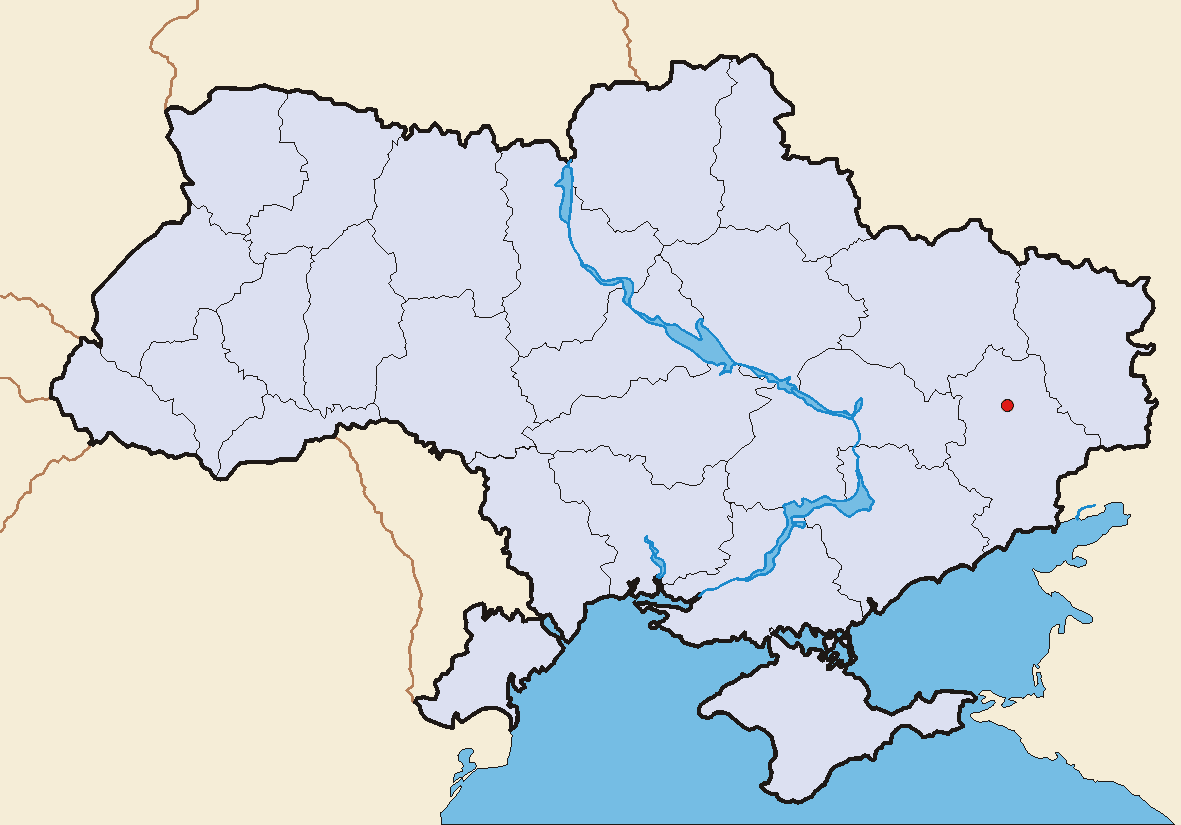
- Description: Kostyantinyvka, Donetsk Oblast, Ukraine - geographical position
- Source: User:Skluesener's Image:Hrebinka-Ukraine-Map.png
- modified by elya

|
Permission is granted to copy, distribute and/or modify this document under the terms of the GNU Free Documentation License, Version 1.2 or any later version published by the Free Software Foundation; with no Invariant Sections, no Front-Cover Texts, and no Back-Cover Texts. A copy of the license is included in the section entitled GNU Free Documentation License. |
| This file is licensed under the Creative Commons Attribution-Share Alike 3.0 Unported license. | ||
| ||
| This licensing tag was added to this file as part of the GFDL licensing update. |
File history
Click on a date/time to view the file as it appeared at that time.
| Date/Time | Thumbnail | Dimensions | User | Comment | |
|---|---|---|---|---|---|
| current | 18:17, 27 June 2005 | | 1,181 × 825 (27 KB) | Elya (talk | contribs) | Description: Kostyantinyvka, Donetsk Oblast, Ukraine - geographical position Source: own graphic Original Layout: Sebastian Klüsener, modified by elya |
You cannot overwrite this file.
File usage on Commons
There are no pages that use this file.
File usage on other wikis
The following other wikis use this file:
- Usage on ro.wikipedia.org
- Usage on rue.wikipedia.org