File:Kyiv-map-1850.jpg
Jump to navigation
Jump to search

Size of this preview: 392 × 599 pixels. Other resolutions: 157 × 240 pixels | 314 × 480 pixels | 502 × 768 pixels | 670 × 1,024 pixels | 2,000 × 3,058 pixels.
Original file (2,000 × 3,058 pixels, file size: 1.57 MB, MIME type: image/jpeg)
Captions
Captions
Add a one-line explanation of what this file represents
Summary[edit]
| Description |
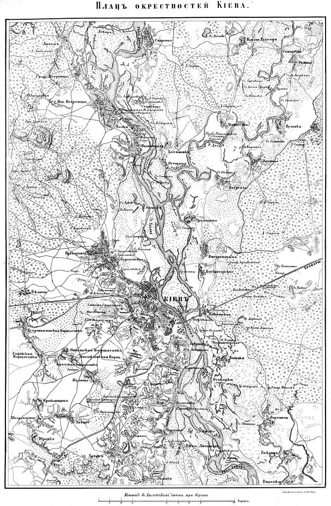
Українська: Карта околиць Києва, середина ХІХ ст., 1850 рік |
| Date | |
| Source | http://map.kiev.ua/old_maps.html |
| Author | Лит. Шелковников в Москве |
Licensing[edit]
|
This work is in the public domain in its country of origin and other countries and areas where the copyright term is the author's life plus 70 years or fewer. This work is in the public domain in the United States because it was published (or registered with the U.S. Copyright Office) before January 1, 1929. | |
| This file has been identified as being free of known restrictions under copyright law, including all related and neighboring rights. | |
File history
Click on a date/time to view the file as it appeared at that time.
| Date/Time | Thumbnail | Dimensions | User | Comment | |
|---|---|---|---|---|---|
| current | 21:51, 20 May 2016 | | 2,000 × 3,058 (1.57 MB) | BoratM (talk | contribs) | {{Information |Description ={{uk|1=Карта околиць Києва, середина ХІХ ст., 1850 рік}} |Source =http://map.kiev.ua/old_maps.html |Author =Лит. Шелковников в Москве |Date =... |
You cannot overwrite this file.
File usage on Commons
There are no pages that use this file.
File usage on other wikis
The following other wikis use this file:
- Usage on de.wikipedia.org
- Usage on fr.wikipedia.org
- Usage on uk.wikipedia.org