File:Lago Huaytunas (Bolivia) Imagen Satelital.png
Jump to navigation
Jump to search
Size of this preview: 800 × 592 pixels. Other resolutions: 320 × 237 pixels | 640 × 474 pixels | 1,024 × 758 pixels | 1,278 × 946 pixels.
Original file (1,278 × 946 pixels, file size: 2.31 MB, MIME type: image/png)
Captions
Captions
Add a one-line explanation of what this file represents
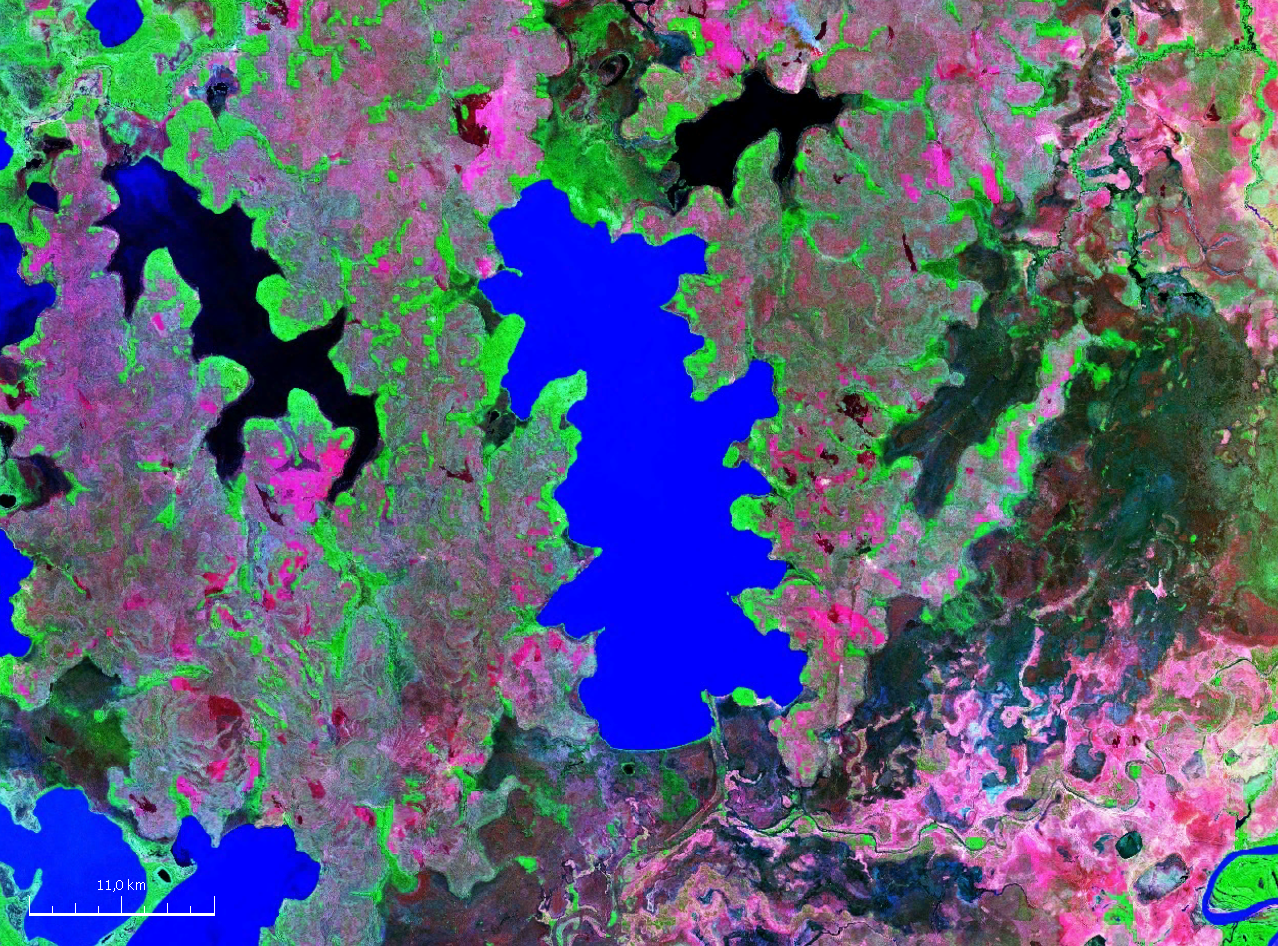
| Description | Imangen Satelital del Lago Huaytunas en el departamento del Beni, Bolivia |
| Source | screenshot from NASA’s globe software World Wind |
| Author | NASA |
| This image is in the public domain because it is a screenshot from NASA’s globe software World Wind using a public domain layer, such as Blue Marble, MODIS, Landsat, SRTM, USGS or GLOBE.
|
 |
File history
Click on a date/time to view the file as it appeared at that time.
| Date/Time | Thumbnail | Dimensions | User | Comment | |
|---|---|---|---|---|---|
| current | 16:53, 14 April 2008 | | 1,278 × 946 (2.31 MB) | Green88 (talk | contribs) | {{Information |Description= Imangen Satelital del Lago Huaytunas en el departamento del Beni, Bolivia |Source= |Date= |Author= |Permission= |other_versions= }} {{PD-WorldWind}} Category:Satellite pictures of Bolivia |
You cannot overwrite this file.
File usage on Commons
There are no pages that use this file.
File usage on other wikis
The following other wikis use this file:
- Usage on arz.wikipedia.org
- Usage on ceb.wikipedia.org
- Usage on de.wikipedia.org
- Usage on es.wikipedia.org
- Usage on ka.wikipedia.org
- Usage on qu.wikipedia.org
- Usage on www.wikidata.org
- Usage on xmf.wikipedia.org
_Imagen_Satelital.png&oldid=782938890)