File:Le Revest Les Eaux Village Tower (general view) 5867.jpg
Jump to navigation
Jump to search
Size of this preview: 800 × 600 pixels. Other resolutions: 320 × 240 pixels | 640 × 480 pixels | 1,024 × 768 pixels | 1,280 × 960 pixels | 2,560 × 1,920 pixels | 3,072 × 2,304 pixels.
Original file (3,072 × 2,304 pixels, file size: 1.55 MB, MIME type: image/jpeg)
Captions
Captions
Add a one-line explanation of what this file represents
Summary[edit]
_5867.jpg&action=edit§ion=1)
| Description |
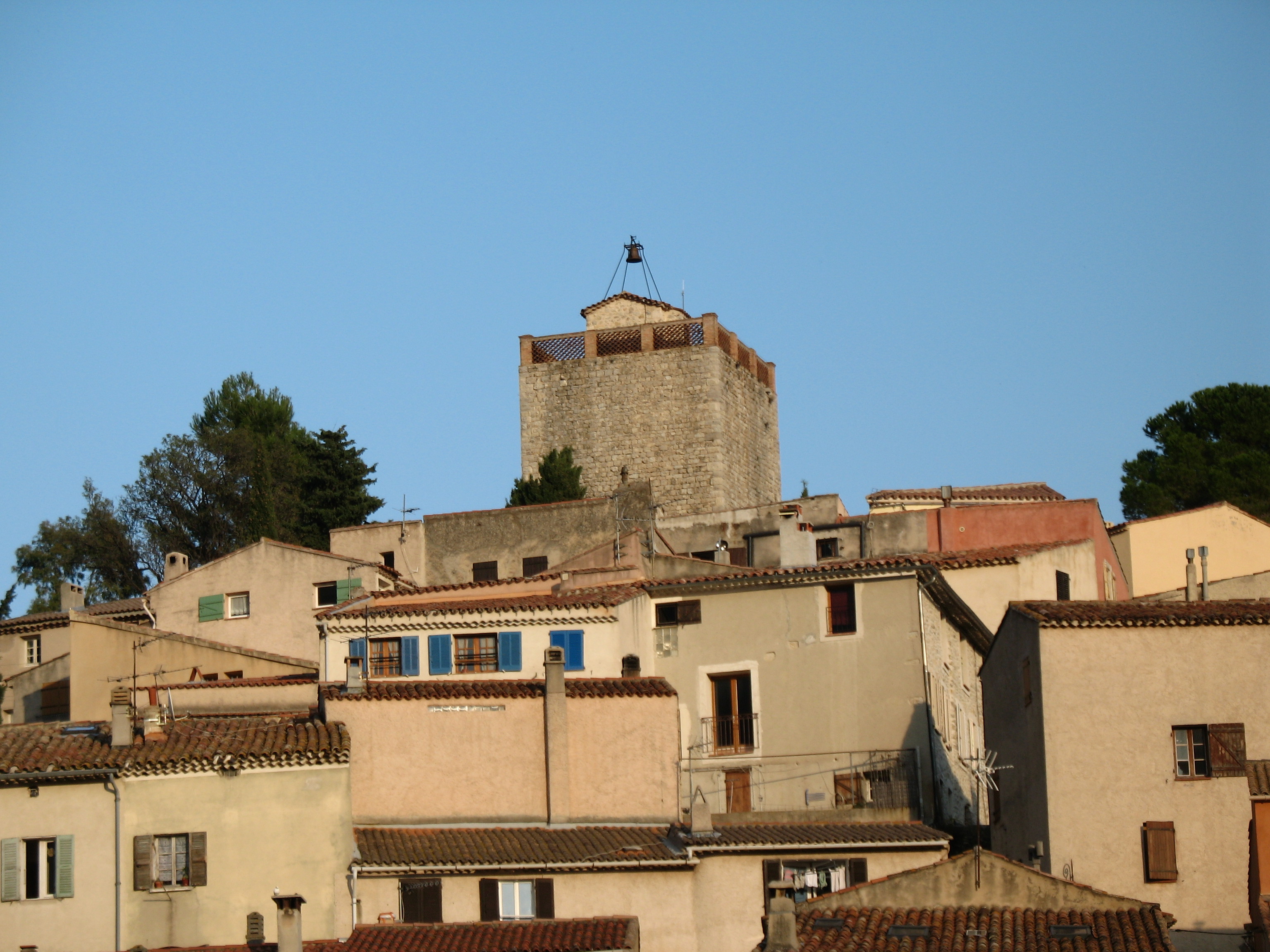
English: Village Tower of Le Revest Les Eaux (Le Revest-les-Eaux, Var, France)
Français : Tour du village (Le Revest-les-Eaux, Var, France) |
||
| Date | |||
| Source | Own work | ||
| Author | SombreSanglier |
| Object location | | View this and other nearby images on: OpenStreetMap |
|---|
_5867.jpg¶ms=043.176093_N_0005.927242_E_globe:Earth_class:object_region:FR_type:landmark_scale:1500_&language=en)
Village Tower of Le Revest Les Eaux (Le Revest-les-Eaux, Var, France) Tour du village (Le Revest-les-Eaux, Var, France)
Licensing[edit]
_5867.jpg&action=edit§ion=2)
I, the copyright holder of this work, hereby publish it under the following licenses:

|
Permission is granted to copy, distribute and/or modify this document under the terms of the GNU Free Documentation License, Version 1.2 or any later version published by the Free Software Foundation; with no Invariant Sections, no Front-Cover Texts, and no Back-Cover Texts. A copy of the license is included in the section entitled GNU Free Documentation License. |
This file is licensed under the Creative Commons Attribution 3.0 Unported license.
- You are free:
- to share – to copy, distribute and transmit the work
- to remix – to adapt the work
- Under the following conditions:
- attribution – You must give appropriate credit, provide a link to the license, and indicate if changes were made. You may do so in any reasonable manner, but not in any way that suggests the licensor endorses you or your use.
You may select the license of your choice.
File history
Click on a date/time to view the file as it appeared at that time.
| Date/Time | Thumbnail | Dimensions | User | Comment | |
|---|---|---|---|---|---|
| current | 17:50, 5 November 2011 | | 3,072 × 2,304 (1.55 MB) | SombreSanglier (talk | contribs) |
You cannot overwrite this file.
File usage on Commons
The following 3 pages use this file:
File usage on other wikis
The following other wikis use this file:
- Usage on ca.wikipedia.org
- Usage on ceb.wikipedia.org
- Usage on ce.wikipedia.org
- Usage on de.wikivoyage.org
- Usage on en.wikipedia.org
- Usage on eo.wikipedia.org
- Usage on es.wikipedia.org
- Usage on eu.wikipedia.org
- Usage on fr.wikipedia.org
- Usage on hu.wikipedia.org
- Usage on it.wikipedia.org
- Usage on lld.wikipedia.org
- Usage on lmo.wikipedia.org
- Usage on mg.wikipedia.org
- Usage on nl.wikipedia.org
- Usage on oc.wikipedia.org
- Usage on pl.wikipedia.org
- Usage on pt.wikipedia.org
- Usage on ro.wikipedia.org
- Usage on ru.wikipedia.org
- Usage on sk.wikipedia.org
- Usage on sv.wikipedia.org
- Usage on tt.wikipedia.org
- Usage on uk.wikipedia.org
- Usage on vec.wikipedia.org
- Usage on vo.wikipedia.org
- Usage on www.wikidata.org
- Usage on zh-min-nan.wikipedia.org
- Usage on zh.wikipedia.org
_5867.jpg&oldid=671682673)