File:Leningradskaya oblast, Priozersky rayon - outline locator map.svg
Jump to navigation
Jump to search

Size of this PNG preview of this SVG file: 430 × 600 pixels. Other resolutions: 172 × 240 pixels | 344 × 480 pixels | 551 × 768 pixels | 734 × 1,024 pixels | 1,468 × 2,048 pixels | 717 × 1,000 pixels.
Original file (SVG file, nominally 717 × 1,000 pixels, file size: 24 KB)
Captions
Captions
Add a one-line explanation of what this file represents
Summary[edit]
| Description |
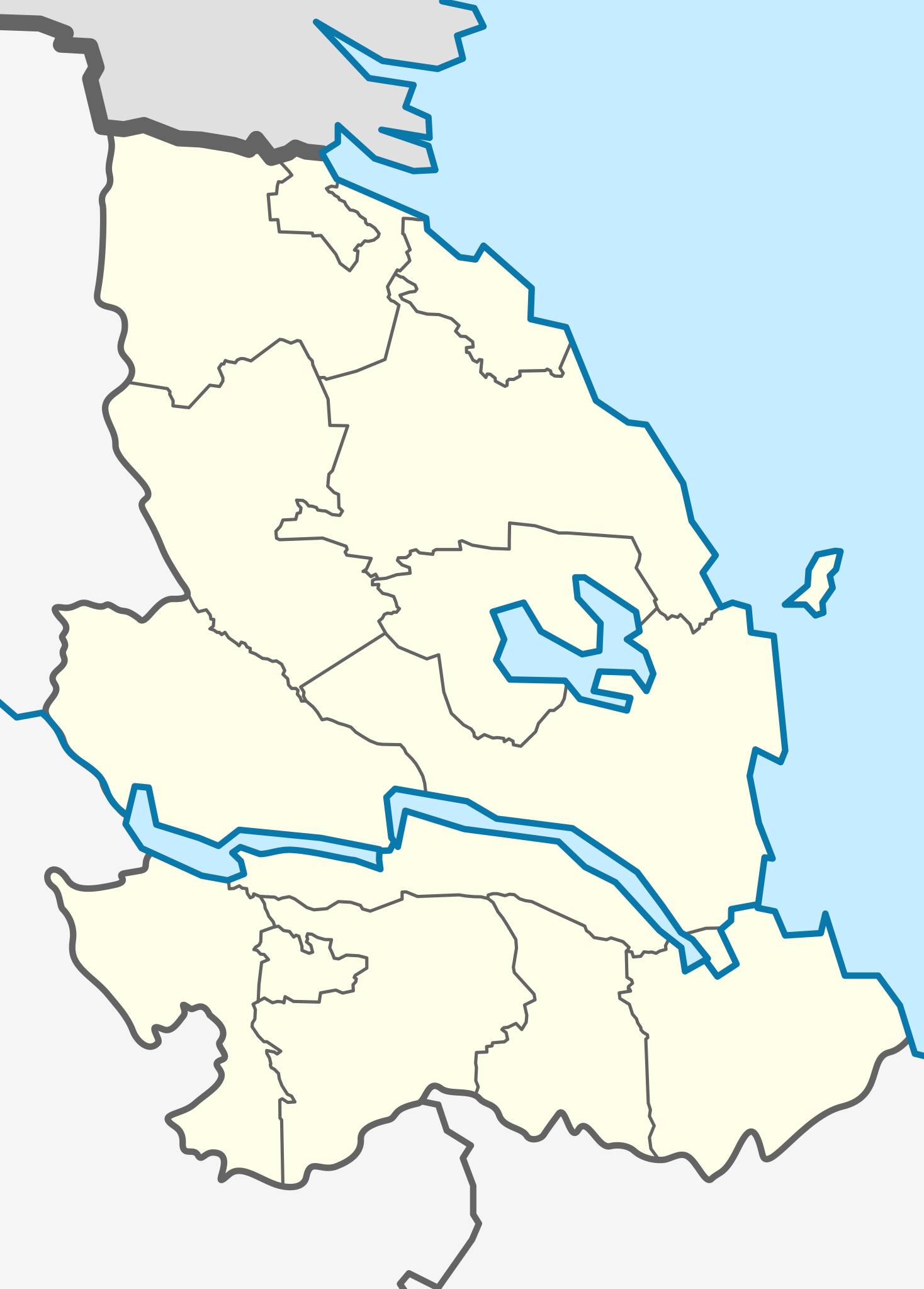
Русский: Позиционная карта Приозерского района Ленинградской области
|top    = 61.2613115
|bottom = 60.3533187
|left   = 29.4114134
|right  = 30.7609840
English: Map of Priozersky district of Leningrad region
This W3C-unspecified vector image was created with Inkscape . |
| Date | |
| Source |
Own work
|
| Author |
|
| This is a retouched picture, which means that it has been digitally altered from its original version. The original can be viewed here: Outline Map of Leningrad Oblast.svg:
|
Licensing[edit]
I, the copyright holder of this work, hereby publish it under the following license:
| I, the copyright holder of this work, release this work into the public domain. This applies worldwide. In some countries this may not be legally possible; if so: I grant anyone the right to use this work for any purpose, without any conditions, unless such conditions are required by law. |
Original upload log[edit]
This image is a derivative work of the following images:
- File:Outline_Map_of_Leningrad_Oblast.svg licensed with PD-self
- 2010-08-18T18:06:20Z Виктор В 1000x717 (76625 Bytes) == {{int:filedesc}} == {{Information |Description={{ru|1=Позиционная карта Ленинградской области *Проекция — равноугольная. *Стандартная параллель
Uploaded with derivativeFX
File history
Click on a date/time to view the file as it appeared at that time.
| Date/Time | Thumbnail | Dimensions | User | Comment | |
|---|---|---|---|---|---|
| current | 17:59, 7 February 2011 | | 717 × 1,000 (24 KB) | Зелёный Кошак (talk | contribs) | == {{int:filedesc}} == {{Information |Description={{ru|1=Позиционная карта Приозерского района Ленинградской области |
You cannot overwrite this file.
File usage on Commons
There are no pages that use this file.
File usage on other wikis
The following other wikis use this file:
- Usage on fi.wikipedia.org
- Usage on fr.wikipedia.org
- Usage on ka.wikipedia.org
- Usage on ru.wikipedia.org
- Громово (Ленинградская область)
- Сосново (Приозерский район)
- Севастьяново (Ленинградская область)
- Тиверск
- Волчья (приток Вуоксы)
- Участник:Зелёный Кошак
- Мельниково (Ленинградская область)
- Лосево (Приозерский район)
- Новожилово (Ленинградская область)
- Васильево (Мельниковское сельское поселение)
- Кузнечное
- Смородинка (приток Волчьей)
- Раздолье (Ленинградская область)
- Приозерск
- Горы (Приозерский район)
- Синёво (Ленинградская область)
- Яркое (Ленинградская область)
- Вьюн (река)
- Суходольское озеро
- Коневский Рождество-Богородичный монастырь
- Починок (Ленинградская область)
- Судаково (Ленинградская область)
- Бригадное (Ленинградская область)
- Тихая (река, впадает в Ладожское озеро)
- Ларионово (Ленинградская область)
- Ромашки (Ленинградская область)
- Кривко (Ленинградская область)
- Бруснички
- Участник:Зелёный Кошак/Список наблюдения
- Сапёрное
- Лупра
- Коттила (Ленинградская область)
- Понтонное
- Ягодное (Ленинградская область)
- Бурнев
- Большой Чёрный
- Грядовый (остров, Ладожское озеро)
- Заячий (остров, Ленинградская область)
- Овраги (Приозерский район)
- Орехово (посёлок при железнодорожной станции, Ленинградская область)
- Крутая Гора (Ленинградская область)
- Бережок (Приозерский район)
- Кучерово (Ленинградская область)
View more global usage of this file.