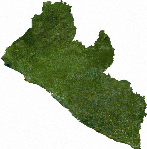
File:Liberia sat.png
Vai alla navigazione
Vai alla ricerca
Non sono disponibili versioni a risoluzione più elevata.
Liberia_sat.png (497 × 505 pixel, dimensione del file: 333 KB, tipo MIME: image/png)
Didascalie
Didascalie
Aggiungi una brevissima spiegazione di ciò che questo file rappresenta
ECW to TIFF to PNG (compression level 9).
| This file is in the public domain, because it was generated by a user, using free sources available at The Map Library.
Note that this does not include the maps in the Global Administrative Areas section of the homepage. |
Cronologia del file
Fare clic su un gruppo data/ora per vedere il file come si presentava nel momento indicato.
| Data/Ora | Miniatura | Dimensioni | Utente | Commento | |
|---|---|---|---|---|---|
| attuale | 02:28, 14 lug 2006 | | 497 × 505 (333 KB) | Unquietwiki (discussione | contributi) | ECW to TIFF to PNG (compression level 9). {{PD-MapLibrary}} |
Impossibile sovrascrivere questo file.
Utilizzo del file
La seguente pagina usa questo file:
Utilizzo globale del file
Anche i seguenti wiki usano questo file:
- Usato nelle seguenti pagine di ru.wikipedia.org:
- Usato nelle seguenti pagine di tl.wikipedia.org:
- Usato nelle seguenti pagine di tr.wikipedia.org:
- Usato nelle seguenti pagine di uk.wikipedia.org:
- Usato nelle seguenti pagine di vec.wikipedia.org: