File:Location of Babri Masjid site map.png
Jump to navigation
Jump to search
Size of this preview: 615 × 599 pixels. Other resolutions: 246 × 240 pixels | 492 × 480 pixels | 909 × 886 pixels.
Original file (909 × 886 pixels, file size: 284 KB, MIME type: image/png)
Captions
Captions
Add a one-line explanation of what this file represents
Summary
[edit]
| Description |
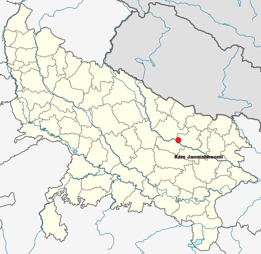
English: This is a modified version of an Uttar Pradesh map, showing the location of the Babri Masjid/Ram Janmabhoomi. |
| Date | |
| Source | Wikimedia Commons |
| Author | NordNordWest |
Licensing
[edit]
| |
This work has been released into the public domain by its author, NordNordWest, at the English Wikipedia project. This applies worldwide. In case this is not legally possible: |
This image is a modified version of a file from Wikimedia Commons
File history
Click on a date/time to view the file as it appeared at that time.
| Date/Time | Thumbnail | Dimensions | User | Comment | |
|---|---|---|---|---|---|
| current | 23:55, 23 January 2014 | | 909 × 886 (284 KB) | Vanamonde93 (talk | contribs) | User created page with UploadWizard |
You cannot overwrite this file.
File usage on Commons
The following page uses this file:
- File:Location of Babri Masjid site map.svg.png (file redirect)
File usage on other wikis
The following other wikis use this file:
- Usage on fa.wikipedia.org
- Usage on kn.wikipedia.org
- Usage on mr.wikipedia.org