File:Mala Campo mappa.png
Vai alla navigazione
Vai alla ricerca

Dimensioni di questa anteprima: 727 × 600 pixel. Altre risoluzioni: 291 × 240 pixel | 582 × 480 pixel | 964 × 795 pixel.
File originale (964 × 795 pixel, dimensione del file: 152 KB, tipo MIME: image/png)
Didascalie
Didascalie
Aggiungi una brevissima spiegazione di ciò che questo file rappresenta
Dettagli
[modifica]
| Descrizione |
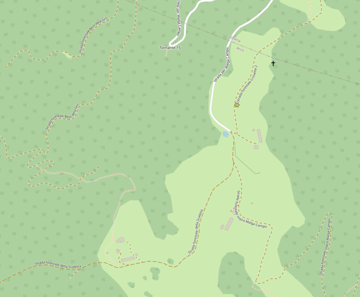
Questa mappa di Malga Campo è stata creata con dati raccolti dal progetto OpenStreetMap. La mappa potrebbe essere incompleta e contenere errori. Non affidarsi esclusivamente ad essa per la navigazione. |
|||
| Data | (see file history) | |||
| Fonte | openstreetmap.org | |||
| Creatore |
OpenStreetMap contributors |
|||
| Licenza (Riusare questo file) |
OpenStreetMap data is available under the Open Database License (details). Standard style map tiles are licensed as ODbL Produced Works.
|
|||
| Georeferencing | If inappropriate please set warp_status = skip to hide. |
Cronologia del file
Fare clic su un gruppo data/ora per vedere il file come si presentava nel momento indicato.
| Data/Ora | Miniatura | Dimensioni | Utente | Commento | |
|---|---|---|---|---|---|
| attuale | 10:42, 6 mag 2021 | | 964 × 795 (152 KB) | Elicotteroo (discussione | contributi) | {{OpenStreetMap |name = |location = Malga Campo |description = |top = |bottom = |left = |right = |date = |authors = |other_versions = |warp_status = |warp_url = |odbl = |other_fields = |image = }} |
Impossibile sovrascrivere questo file.
Utilizzo del file
Nessuna pagina utilizza questo file.
Utilizzo globale del file
Anche i seguenti wiki usano questo file:
- Usato nelle seguenti pagine di it.wikipedia.org: