File:Map of Indiana highlighting Vanderburgh County.svg
Jump to navigation
Jump to search

Size of this PNG preview of this SVG file: 391 × 599 pixels. Other resolutions: 156 × 240 pixels | 313 × 480 pixels | 501 × 768 pixels | 668 × 1,024 pixels | 1,337 × 2,048 pixels | 2,887 × 4,423 pixels.
Original file (SVG file, nominally 2,887 × 4,423 pixels, file size: 56 KB)
Captions
Captions
Add a one-line explanation of what this file represents
Summary[edit]
| Description |
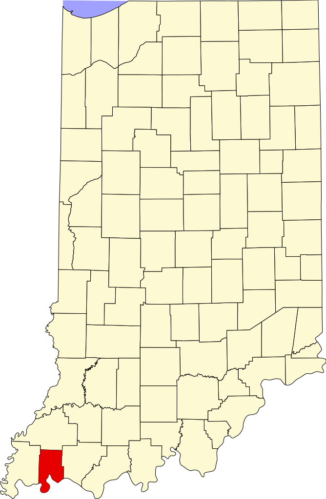
English: This is a locator map showing Vanderburgh County in Indiana. For more information, see Commons:United States county locator maps. |
| Date | |
| Source |
Own work: English: The maps use data from nationalatlas.gov, specifically countyp020.tar.gz on the Raw Data Download page. The maps also use state outline data from statesp020.tar.gz. The Florida maps use hydrogm020.tar.gz to display Lake Okeechobee. |
| Author | David Benbennick |
Licensing[edit]
| I, the copyright holder of this work, release this work into the public domain. This applies worldwide. In some countries this may not be legally possible; if so: I grant anyone the right to use this work for any purpose, without any conditions, unless such conditions are required by law. |
File history
Click on a date/time to view the file as it appeared at that time.
| Date/Time | Thumbnail | Dimensions | User | Comment | |
|---|---|---|---|---|---|
| current | 12:12, 12 February 2006 | | 2,887 × 4,423 (56 KB) | David Benbennick (talk | contribs) | {{subst:User:Dbenbenn/clm|county=Vanderburgh County|state=Indiana}} |
You cannot overwrite this file.
File usage on Commons
The following 8 pages use this file:
- Category:Births in Vanderburgh County, Indiana
- Category:Deaths in Vanderburgh County, Indiana
- Category:Education in Vanderburgh County, Indiana
- Category:Historic districts in Vanderburgh County, Indiana
- Category:Maps of Vanderburgh County, Indiana
- Category:National Register of Historic Places in Vanderburgh County, Indiana
- Category:People of Vanderburgh County, Indiana
- Category:Vanderburgh County, Indiana
File usage on other wikis
The following other wikis use this file:
- Usage on ar.wikipedia.org
- Usage on az.wikipedia.org
- Usage on bg.wikipedia.org
- Usage on bpy.wikipedia.org
- Usage on cdo.wikipedia.org
- Usage on ceb.wikipedia.org
- Usage on ce.wikipedia.org
- Usage on cy.wikipedia.org
- Usage on de.wikipedia.org
- Usage on en.wikipedia.org
- List of counties in Indiana
- Vanderburgh County, Indiana
- Darmstadt, Indiana
- Evansville, Indiana
- Highland, Vanderburgh County, Indiana
- Melody Hill, Indiana
- Evansville Vanderburgh School Corporation
- Armstrong Township, Vanderburgh County, Indiana
- Center Township, Vanderburgh County, Indiana
- German Township, Vanderburgh County, Indiana
- Knight Township, Vanderburgh County, Indiana
- Perry Township, Vanderburgh County, Indiana
- Pigeon Township, Vanderburgh County, Indiana
- Scott Township, Vanderburgh County, Indiana
- Union Township, Vanderburgh County, Indiana
- Template:Vanderburgh County, Indiana
- Template:VanderburghCountyIN-geo-stub
- Hillsdale, Vanderburgh County, Indiana
- Inglefield, Indiana
- User:Nyttend/County templates/IN/2
- National Register of Historic Places listings in Vanderburgh County, Indiana
- Saint Joseph, Vanderburgh County, Indiana
- University Parkway (Evansville)
- Haynies Corner Arts District
- International World War Peace Tree
- Daylight, Indiana
- McCutchanville, Indiana
- Earle, Indiana
- Armstrong, Indiana
- Red Bank, Indiana
- Mud Center, Indiana
- Category:Populated places in Vanderburgh County, Indiana
- User:Crtew
- List of Indiana state historical markers in Vanderburgh County
- Nisbet, Indiana
- Saint Wendel, Indiana
View more global usage of this file.