File:Map of Louisiana highlighting DeSoto Parish.svg
Jump to navigation
Jump to search

Size of this PNG preview of this SVG file: 666 × 599 pixels. Other resolutions: 267 × 240 pixels | 534 × 480 pixels | 854 × 768 pixels | 1,138 × 1,024 pixels | 2,277 × 2,048 pixels | 1,255 × 1,129 pixels.
Original file (SVG file, nominally 1,255 × 1,129 pixels, file size: 169 KB)
Captions
Captions
Add a one-line explanation of what this file represents
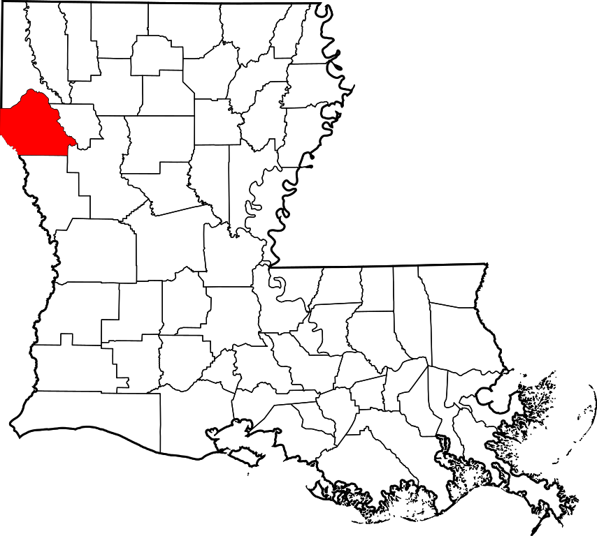
This is a locator map showing De Soto Parish in Louisiana.
David Benbennick made this map. For more information, see Commons:United States county locator maps.
| I, the copyright holder of this work, release this work into the public domain. This applies worldwide. In some countries this may not be legally possible; if so: I grant anyone the right to use this work for any purpose, without any conditions, unless such conditions are required by law. |
File history
Click on a date/time to view the file as it appeared at that time.
| Date/Time | Thumbnail | Dimensions | User | Comment | |
|---|---|---|---|---|---|
| current | 23:53, 4 July 2024 | | 1,255 × 1,129 (169 KB) | Nux (talk | contribs) | fix rendering (remove clipping), uniform colors |
| 12:31, 12 February 2006 |  | 5,018 × 4,515 (269 KB) | David Benbennick (talk | contribs) | {{subst:User:Dbenbenn/clm|county=De Soto Parish|state=Louisiana|type=parish}} |
You cannot overwrite this file.
File usage on Commons
The following 8 pages use this file:
- File:Map of Louisiana highlighting De Soto Parish.svg (file redirect)
- Category:Births in DeSoto Parish, Louisiana
- Category:DeSoto Parish, Louisiana
- Category:Maps of DeSoto Parish, Louisiana
- Category:People of DeSoto Parish, Louisiana
- Category:Populated places in DeSoto Parish, Louisiana
- Category:Towns in DeSoto Parish, Louisiana
- Category:Villages in DeSoto Parish, Louisiana
File usage on other wikis
The following other wikis use this file:
- Usage on ar.wikipedia.org
- Usage on bpy.wikipedia.org
- Usage on ceb.wikipedia.org
- Usage on ce.wikipedia.org
- Usage on cy.wikipedia.org
- Usage on de.wikipedia.org
- Usage on en.wikipedia.org
- List of parishes in Louisiana
- DeSoto Parish, Louisiana
- Grand Cane, Louisiana
- Keachi, Louisiana
- Logansport, Louisiana
- Longstreet, Louisiana
- Mansfield, Louisiana
- South Mansfield, Louisiana
- Stanley, Louisiana
- Stonewall, Louisiana
- List of Louisiana parishes by French-speaking population
- Template:DeSoto Parish, Louisiana
- User:Nyttend/County templates/LA
- Kingston, Louisiana
- Frierson, Louisiana
- National Register of Historic Places listings in DeSoto Parish, Louisiana
- Gloster, Louisiana
- Thomas Scott House (Gloster, Louisiana)
- Land's End Plantation (Stonewall, Louisiana)
- Category:Populated places in DeSoto Parish, Louisiana
- Keachi Presbyterian Church
- Keachi Baptist Church
- Grand Cane United Methodist Church
- Keachi United Methodist Church
- Pelican, Louisiana
- International Boundary Marker
- The Oaks (Keachi, Louisiana)
- Buena Vista (Stonewall, Louisiana)
- Roseneath (Gloster, Louisiana)
- Allen House (Keachi, Louisiana)
- Myrtle Hill Plantation House
- Benson, Louisiana
- Wemple, Louisiana
- User:AridCeption/sandbox
- File talk:Map of Louisiana highlighting DeSoto Parish.svg
- Usage on es.wikipedia.org
View more global usage of this file.