File:Map of Missouri highlighting Texas County.svg
Jump to navigation
Jump to search

Size of this PNG preview of this SVG file: 682 × 600 pixels. Other resolutions: 273 × 240 pixels | 546 × 480 pixels | 874 × 768 pixels | 1,165 × 1,024 pixels | 2,329 × 2,048 pixels | 5,812 × 5,110 pixels.
Original file (SVG file, nominally 5,812 × 5,110 pixels, file size: 112 KB)
Captions
Captions
Add a one-line explanation of what this file represents
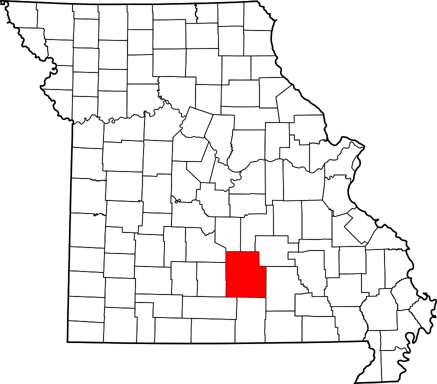
This is a locator map showing Texas County in Missouri.
David Benbennick made this map. For more information, see Commons:United States county locator maps.
| I, the copyright holder of this work, release this work into the public domain. This applies worldwide. In some countries this may not be legally possible; if so: I grant anyone the right to use this work for any purpose, without any conditions, unless such conditions are required by law. |
File history
Click on a date/time to view the file as it appeared at that time.
| Date/Time | Thumbnail | Dimensions | User | Comment | |
|---|---|---|---|---|---|
| current | 13:28, 12 February 2006 | | 5,812 × 5,110 (112 KB) | David Benbennick (talk | contribs) | {{subst:User:Dbenbenn/clm|county=Texas County|state=Missouri|type=county}} |
You cannot overwrite this file.
File usage on Commons
The following 7 pages use this file:
- File:Map of Missouri highlighting Texas County.png
- Category:Births in Texas County, Missouri
- Category:Deaths in Texas County, Missouri
- Category:Maps of Texas County, Missouri
- Category:People of Texas County, Missouri
- Category:Populated places in Texas County, Missouri
- Category:Texas County, Missouri
File usage on other wikis
The following other wikis use this file:
- Usage on ar.wikipedia.org
- Usage on bg.wikipedia.org
- Usage on bpy.wikipedia.org
- Usage on cdo.wikipedia.org
- Usage on ceb.wikipedia.org
- Usage on ce.wikipedia.org
- Usage on cy.wikipedia.org
- Usage on de.wikipedia.org
- Usage on en.wikipedia.org
- List of counties in Missouri
- Texas County, Missouri
- Cabool, Missouri
- Houston, Missouri
- Licking, Missouri
- Raymondville, Missouri
- Summersville, Missouri
- Yukon, Missouri
- Bendavis, Missouri
- Huggins, Missouri
- Maples, Missouri
- Success, Missouri
- Ellis Prairie, Missouri
- Solo, Missouri
- Sherrill, Missouri
- Roby, Missouri
- Plato, Missouri
- Hartshorn, Missouri
- Eunice, Missouri
- Elk Creek, Missouri
- Bucyrus, Missouri
- Upton, Missouri
- Clara, Missouri
- Kimble, Missouri
- Template:Texas County, Missouri
- User:Nyttend/County templates/MO/2
- Hazleton, Missouri
- Category:Populated places in Texas County, Missouri
- National Register of Historic Places listings in Texas County, Missouri
- Mountain Grove, Missouri
- Simmons, Missouri
- Tyrone, Missouri
- Alice, Missouri
- Arroll, Missouri
- Ashley Creek, Missouri
- Bado, Missouri
View more global usage of this file.