File:Map of Novo Selo Municipality.svg
Jump to navigation
Jump to search

Size of this PNG preview of this SVG file: 744 × 581 pixels. Other resolutions: 307 × 240 pixels | 615 × 480 pixels | 984 × 768 pixels | 1,280 × 1,000 pixels | 2,560 × 1,999 pixels.
Original file (SVG file, nominally 744 × 581 pixels, file size: 425 KB)
Captions
Captions
Add a one-line explanation of what this file represents
Summary[edit]
| Description |
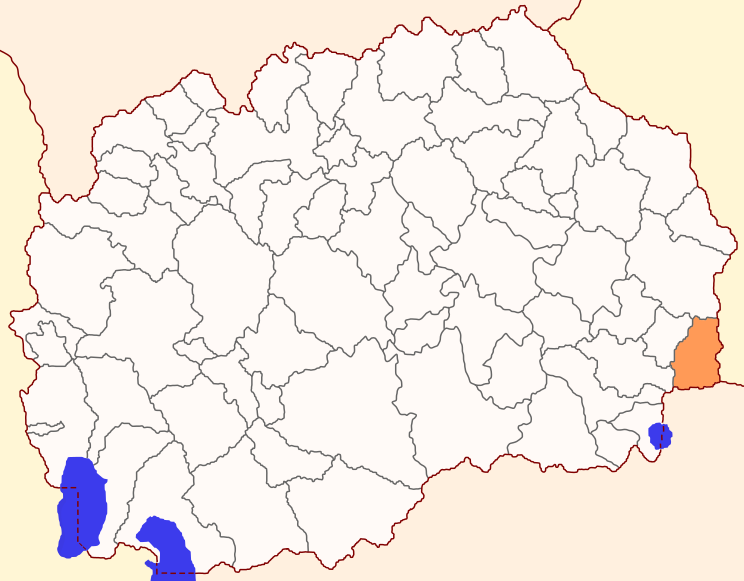
English: Locator map of Novo Selo Municipality, Macedonia.
Македонски: Карта на општина Ново Село, Македонија. |
| Source | Own work |
| Author | MacedonianBoy |
| SVG development |
Licensing[edit]
I, the copyright holder of this work, hereby publish it under the following licenses:

|
Permission is granted to copy, distribute and/or modify this document under the terms of the GNU Free Documentation License, Version 1.2 or any later version published by the Free Software Foundation; with no Invariant Sections, no Front-Cover Texts, and no Back-Cover Texts. A copy of the license is included in the section entitled GNU Free Documentation License. |
This file is licensed under the Creative Commons Attribution-Share Alike 4.0 International, 3.0 Unported, 2.5 Generic, 2.0 Generic and 1.0 Generic license.
- You are free:
- to share – to copy, distribute and transmit the work
- to remix – to adapt the work
- Under the following conditions:
- attribution – You must give appropriate credit, provide a link to the license, and indicate if changes were made. You may do so in any reasonable manner, but not in any way that suggests the licensor endorses you or your use.
- share alike – If you remix, transform, or build upon the material, you must distribute your contributions under the same or compatible license as the original.
You may select the license of your choice.
File history
Click on a date/time to view the file as it appeared at that time.
| Date/Time | Thumbnail | Dimensions | User | Comment | |
|---|---|---|---|---|---|
| current | 17:51, 18 March 2013 | | 744 × 581 (425 KB) | MacedonianBoy (talk | contribs) | new design, border change |
| 19:47, 2 December 2009 |  | 744 × 581 (443 KB) | MacedonianBoy (talk | contribs) | {{Information |Description={{en|1=Locator map of Novo Selo Municipality, Macedonia.}} {{mk|1=Карта на општина Ново Село, Македонија.}} |Source=Own work |Author=MacedonianBoy |Date= |Permission= |other |
You cannot overwrite this file.
File usage on Commons
The following 3 pages use this file:
File usage on other wikis
The following other wikis use this file:
- Usage on bg.wikipedia.org
- Usage on cs.wikipedia.org
- Usage on de.wikipedia.org
- Usage on en.wikipedia.org
- Usage on eo.wikipedia.org
- Usage on es.wikipedia.org
- Usage on fa.wikipedia.org
- Usage on ko.wikipedia.org
- Usage on nn.wikipedia.org
- Usage on pl.wikipedia.org
- Usage on sh.wikipedia.org
- Usage on sr.wikipedia.org
- Usage on sv.wikipedia.org
- Usage on uk.wikipedia.org
- Usage on ur.wikipedia.org
- Usage on www.wikidata.org
- Usage on zh.wikipedia.org