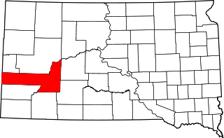
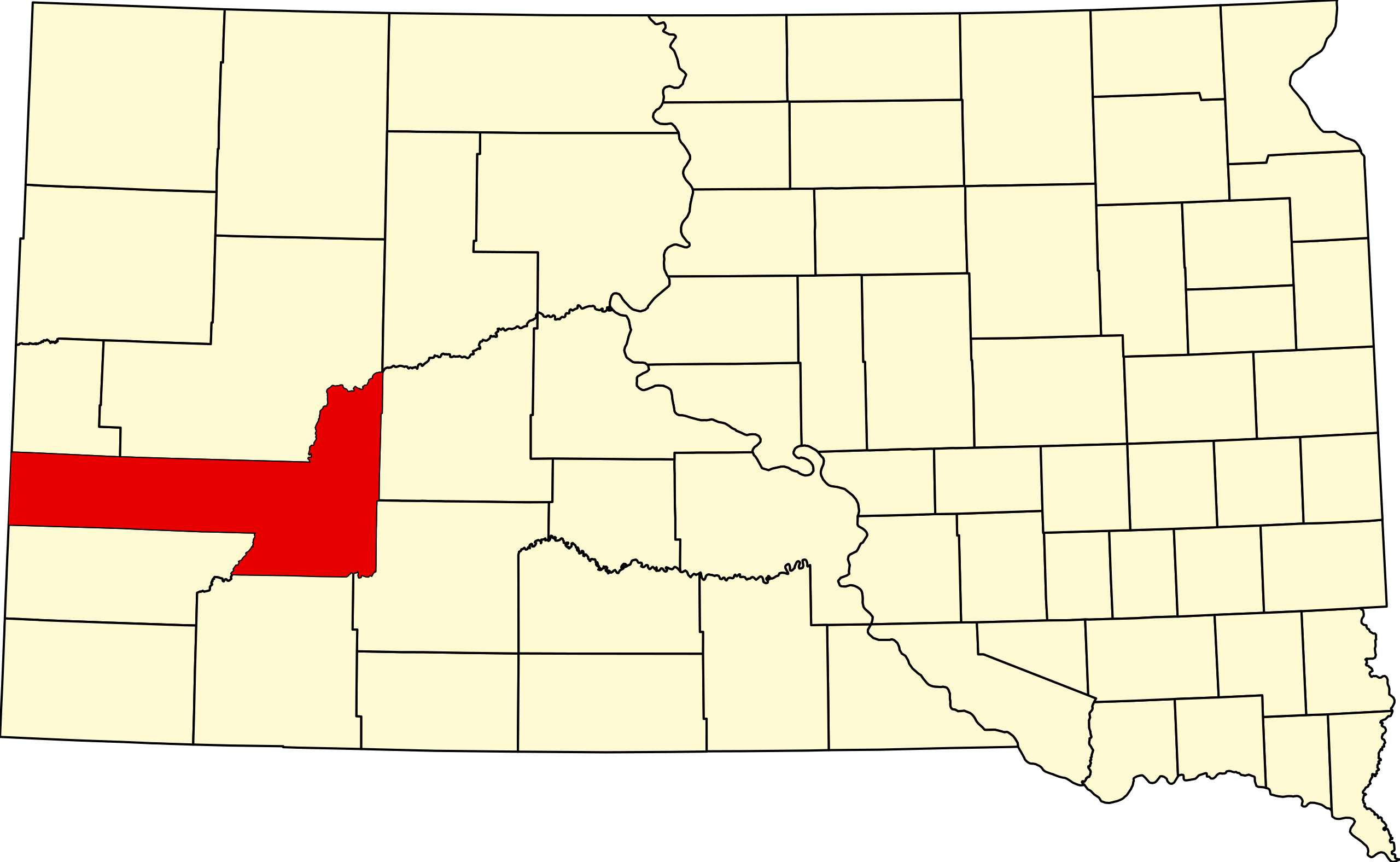
File:Map of South Dakota highlighting Pennington County.svg
Jump to navigation
Jump to search

Size of this PNG preview of this SVG file: 800 × 492 pixels. Other resolutions: 320 × 197 pixels | 640 × 394 pixels | 1,024 × 630 pixels | 1,280 × 788 pixels | 2,560 × 1,576 pixels | 6,226 × 3,832 pixels.
Original file (SVG file, nominally 6,226 × 3,832 pixels, file size: 47 KB)
Captions
Captions
Add a one-line explanation of what this file represents
Summary
[edit]
| Description | |
| Date | 12 February 2006 (original upload date) |
| Source | No machine-readable source provided. Own work assumed (based on copyright claims). |
| Author | No machine-readable author provided. David Benbennick assumed (based on copyright claims). |
Credits
[edit]
- David Benbennick made this map.
- For more information, see Commons:United States county locator maps.
Licensing
[edit]
| I, the copyright holder of this work, release this work into the public domain. This applies worldwide. In some countries this may not be legally possible; if so: I grant anyone the right to use this work for any purpose, without any conditions, unless such conditions are required by law. |
File history
Click on a date/time to view the file as it appeared at that time.
| Date/Time | Thumbnail | Dimensions | User | Comment | |
|---|---|---|---|---|---|
| current | 16:30, 12 February 2006 | | 6,226 × 3,832 (47 KB) | David Benbennick (talk | contribs) | {{subst:User:Dbenbenn/clm|county=Pennington County|state=South Dakota|type=county}} |
You cannot overwrite this file.
File usage on Commons
The following 6 pages use this file:
- Category:Births in Pennington County, South Dakota
- Category:Deaths in Pennington County, South Dakota
- Category:Maps of Pennington County, South Dakota
- Category:National Register of Historic Places in Pennington County, South Dakota
- Category:Pennington County, South Dakota
- Category:People of Pennington County, South Dakota
File usage on other wikis
The following other wikis use this file:
- Usage on ar.wikipedia.org
- Usage on bg.wikipedia.org
- Usage on bpy.wikipedia.org
- Usage on cdo.wikipedia.org
- Usage on ceb.wikipedia.org
- Usage on ce.wikipedia.org
- Usage on cy.wikipedia.org
- Usage on de.wikipedia.org
- Usage on en.wikipedia.org
- List of counties in South Dakota
- Pennington County, South Dakota
- Ashland Heights, South Dakota
- Colonial Pine Hills, South Dakota
- Green Valley, South Dakota
- Hill City, South Dakota
- Keystone, South Dakota
- New Underwood, South Dakota
- Quinn, South Dakota
- Rapid City, South Dakota
- Rapid Valley, South Dakota
- Wall, South Dakota
- Wasta, South Dakota
- Box Elder, South Dakota
- Ellsworth Air Force Base
- Mount Rushmore
- Merritt, South Dakota
- Black Elk Peak
- Caputa, South Dakota
- Owanka, South Dakota
- Scenic, South Dakota
- Minuteman Missile National Historic Site
- Rockerville, South Dakota
- Three Forks, South Dakota
- Black Hills Central Railroad
- Silver City, South Dakota
- Johnson Siding, South Dakota
- Dinosaur Park
- Template:Pennington County, South Dakota
- Emmanuel Episcopal Church (Rapid City, South Dakota)
- User:Nyttend/County templates/SD
- Milwaukee Road Freight House
- Chapel in the Hills
- National Register of Historic Places listings in Pennington County, South Dakota
- Calumet Hotel (Wasta, South Dakota)
View more global usage of this file.