File:Map of Tochigi Prefecture Ja.svg

Original file (SVG file, nominally 460 × 560 pixels, file size: 18 KB)
Captions
Captions
Summary
[edit]
| Description |
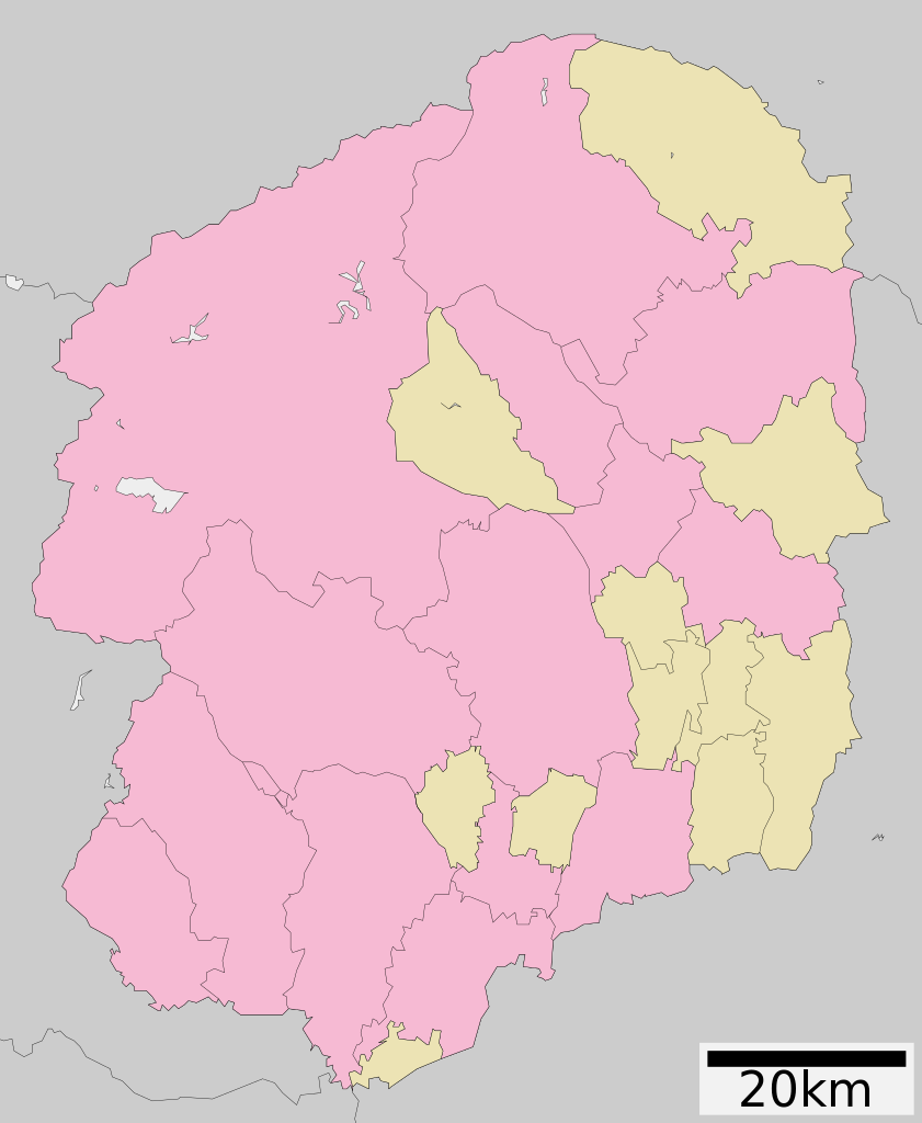
English: Map of Tochigi Prefecture
日本語: ja:栃木県区画図 |
||
| Date | 更新:2010年3月29日 | ||
| Source |
|
||
| Author | Lincun | ||
| Permission (Reusing this file) |
|
||
| Other versions | Derivative works of this file: Flag map of Tochigi Prefecture.svg |
Licensing
[edit]

|
Permission is granted to copy, distribute and/or modify this document under the terms of the GNU Free Documentation License, Version 1.2 or any later version published by the Free Software Foundation; with no Invariant Sections, no Front-Cover Texts, and no Back-Cover Texts. A copy of the license is included in the section entitled GNU Free Documentation License. |
- You are free:
- to share – to copy, distribute and transmit the work
- to remix – to adapt the work
- Under the following conditions:
- attribution – You must give appropriate credit, provide a link to the license, and indicate if changes were made. You may do so in any reasonable manner, but not in any way that suggests the licensor endorses you or your use.
- share alike – If you remix, transform, or build upon the material, you must distribute your contributions under the same or compatible license as the original.
File history
Click on a date/time to view the file as it appeared at that time.
| Date/Time | Thumbnail | Dimensions | User | Comment | |
|---|---|---|---|---|---|
| current | 04:24, 4 December 2020 | | 460 × 560 (18 KB) | AichiWikiFixer (talk | contribs) | Update borders and fixes. |
| 07:18, 23 August 2019 |  | 460 × 560 (16 KB) | LT sfm (talk | contribs) | 栃木市・岩舟町を合併 | |
| 06:51, 5 April 2014 |  | 460 × 560 (19 KB) | ニンジンシチュー (talk | contribs) | 岩舟町の栃木市編入を反映 | |
| 10:11, 5 August 2012 |  | 460 × 560 (22 KB) | ニンジンシチュー (talk | contribs) | ファイル:Tochigi in Tochigi Prefecture Ja.svgを加工して作成 | |
| 23:48, 30 September 2011 |  | 460 × 560 (16 KB) | Haaninjo (talk | contribs) | Updated to 2011.10.01 borders. Based on 2010.04.10 version of ja:file:包括自治体区画図 09000.svg and edited to reflect current borders after Nishikata-Tochigi merger. | |
| 14:15, 10 April 2010 |  | 460 × 560 (11 KB) | Lincun (talk | contribs) | {{基礎自治体位置図画像情報|栃木県||20100329}} | |
| 21:57, 25 May 2009 |  | 424 × 552 (12 KB) | Krisgrotius (talk | contribs) | {{Information| |Description= Map of Tochigi Prefecture |Source= Japanese wiki [http://ja.wikipedia.org/wiki/%E3%83%95%E3%82%A1%E3%82%A4%E3%83%AB:%E5%8C%85%E6%8B%AC%E8%87%AA%E6%B2%BB%E4%BD%93%E5%8C%BA%E7%94%BB%E5%9B%B3_09000.svg] |Date=~~~~~ |Author=[[: | |
| 04:46, 28 March 2009 |  | 424 × 552 (12 KB) | Lincun (talk | contribs) | {{基礎自治体位置図画像情報|栃木県||20090323}} | |
| 13:30, 24 September 2007 |  | 530 × 712 (14 KB) | Lincun (talk | contribs) | {{基礎自治体位置図画像情報|栃木県|}} |
You cannot overwrite this file.
File usage on Commons
The following 4 pages use this file:
File usage on other wikis
The following other wikis use this file:
- Usage on en.wikipedia.org
- Usage on gl.wikipedia.org
- Usage on hu.wikipedia.org
- Usage on id.wikipedia.org
- Usage on ja.wikipedia.org
- 栃木県
- 宇都宮二荒山神社
- 日光二荒山神社
- 日光東照宮
- 足利大学
- 惣宗寺
- 栃木県道・群馬県道8号足利館林線
- 栃木県道・群馬県道・埼玉県道7号佐野行田線
- 栃木県道2号宇都宮栃木線
- 栗田美術館
- 国道119号
- 栃木県道3号宇都宮亀和田栃木線
- 栃木県道6号宇都宮楡木線
- 足利学校
- 足尾銅山
- 宇都宮清原球場
- 栃木県道17号那須高原線
- 栃木県道・茨城県道1号宇都宮笠間線
- 栃木県道4号宇都宮鹿沼線
- 鑁阿寺
- 栃木県道65号鹿沼下野線
- 栃木県道25号那須烏山矢板線
- 栃木県道16号佐野田沼線
- 栃木県道44号栃木二宮線
- 栃木県道34号黒磯黒羽線
- 栃木県道72号大田原芦野線
- 篠山貝塚
- 今泉八坂神社
- 栃木県立石橋高等学校
- 栃木県道61号真岡那須烏山線
- 栃木県道・群馬県道5号足利太田線
- 栃木県道27号那須黒羽茂木線
- 栃木県道69号宇都宮茂木線
- 栃木県道100号石橋停車場線
- 栃木県道184号安塚雀宮線
- 栃木県道309号栃木環状線
- 栃木県道75号栃木佐野線
- 宇都宮城
- 満願寺 (栃木市)
- Template:神社
- 神田城
- 福原城
- 烏山城
- 栃木県立足利高等学校
- Template‐ノート:神社
- 足利短期大学附属高等学校
View more global usage of this file.