File:Map of USA UT.svg
Vai alla navigazione
Vai alla ricerca

Dimensioni di questa anteprima PNG per questo file SVG: 286 × 186 pixel. Altre risoluzioni: 320 × 208 pixel | 640 × 416 pixel | 1 024 × 666 pixel | 1 280 × 832 pixel | 2 560 × 1 665 pixel.
File originale (file in formato SVG, dimensioni nominali 286 × 186 pixel, dimensione del file: 167 KB)
Didascalie
Didascalie
Aggiungi una brevissima spiegazione di ciò che questo file rappresenta
Clickable version
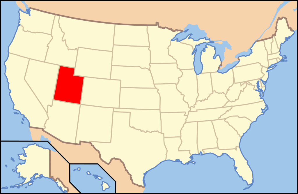
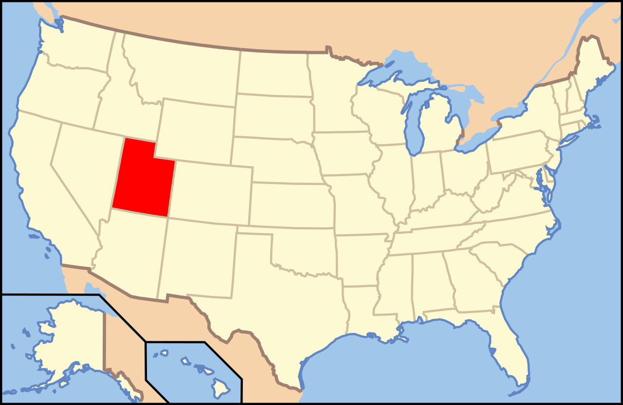
| Descrizione | Map of USA with Utah highlighted | ||||||||
| Data | see file history below. | ||||||||
| Fonte | own work by uploader, based on Image:Map of USA without state names.svg | ||||||||
| Autore |
This version: uploader Base versions this one is derived from: originally created by en:User:Wapcaplet |
||||||||
| Licenza (Riusare questo file) |
Questo file è disponibile in base alla licenza Creative Commons Attribuzione 2.0 Generico
|
||||||||
| Altre versioni | image:Map of USA with state names.svg |

Cronologia del file
Fare clic su un gruppo data/ora per vedere il file come si presentava nel momento indicato.
| Data/Ora | Miniatura | Dimensioni | Utente | Commento | |
|---|---|---|---|---|---|
| attuale | 10:38, 9 giu 2006 | | 286 × 186 (167 KB) | Huebi~commonswiki (discussione | contributi) | {{Information| |Description=Map of USA with Utah highlighted |other_versions=image:Map of USA with state names.svg }} Category:Maps of the United States Category:Maps of Utah Category:SVG maps {{GFDL-en}}{{cc-by-2.0}}{{cc-by-sa-1.0}}{{c |
Impossibile sovrascrivere questo file.
Utilizzo del file
Le seguenti 16 pagine usano questo file:
- Locator maps for U.S. states
- File:Map of USA UT.svg
- File:Map of USA highlighting Utah.png
- Category:Cities in Utah
- Category:Education in Uintah County, Utah
- Category:Geography of Uintah County, Utah
- Category:Locator maps of cities in Utah
- Category:Locator maps of counties of Utah
- Category:Maps of Catholic dioceses of Utah
- Category:Maps of Uintah County, Utah
- Category:Maps of Utah
- Category:People of Uintah County, Utah
- Category:Populated places in Uintah County, Utah
- Category:Transport in Uintah County, Utah
- Category:Uintah County, Utah
- Category:Videos from Utah
Utilizzo globale del file
Anche i seguenti wiki usano questo file:
- Usato nelle seguenti pagine di af.wikipedia.org:
- Usato nelle seguenti pagine di an.wikipedia.org:
- Usato nelle seguenti pagine di arc.wikipedia.org:
- Usato nelle seguenti pagine di ar.wikipedia.org:
- Usato nelle seguenti pagine di arz.wikipedia.org:
- Usato nelle seguenti pagine di ay.wikipedia.org:
- Usato nelle seguenti pagine di azb.wikipedia.org:
- قاردن، یوتا
- ریورساید، یوتا
- اردا، یوتا
- ساوت ویلارد، یوتا
- فلیمینق قورج، یوتا
- کاربونویل، یوتا
- داقوی، یوتا
- کلیرکریک، یوتا
- استنزبری پارک، یوتا
- داتچ جان، یوتا
- ثاچر، یوتا
- کورین، یوتا
- آلتا، یوتا
- آلتون، یوتا
- دیوئیویل، یوتا
- ایست کاربون، یوتا
- اوفیر، یوتا
- اورئینجویل، یوتا
- اوردرویل، یوتا
- ولینقتون، یوتا
- تول، یوتا
- المو، یوتا
- وندوور، یوتا
- الوود، یوتا
- امری، یوتا
- ترمونتون، یوتا
- پری، یوتا
- بیر ریور سیتی، یوتا
- فرون، یوتا
- فیلدینق، یوتا
- بیور، یوتا
- پلاین سیتی، یوتا
- پلیموت، یوتا
- بیکنل، یوتا
- بیق واتر، یوتا
- پورتئیج، یوتا
- بلوفدئیل، یوتا
- قارلاند، یوتا
- پریس، یوتا
- قلندئیل، یوتا
- راندولف، یوتا
- بریقام سیتی، یوتا
- ویلارد، یوتا
Visualizza l'utilizzo globale di questo file.