File:Map of Virginia highlighting King George County.svg
Jump to navigation
Jump to search

Size of this PNG preview of this SVG file: 800 × 347 pixels. Other resolutions: 320 × 139 pixels | 640 × 278 pixels | 1,024 × 444 pixels | 1,280 × 555 pixels | 2,560 × 1,110 pixels | 7,486 × 3,247 pixels.
Original file (SVG file, nominally 7,486 × 3,247 pixels, file size: 223 KB)
Captions
Captions
Add a one-line explanation of what this file represents
Summary[edit]
| Description |
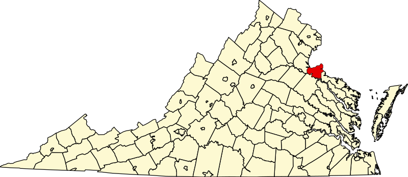
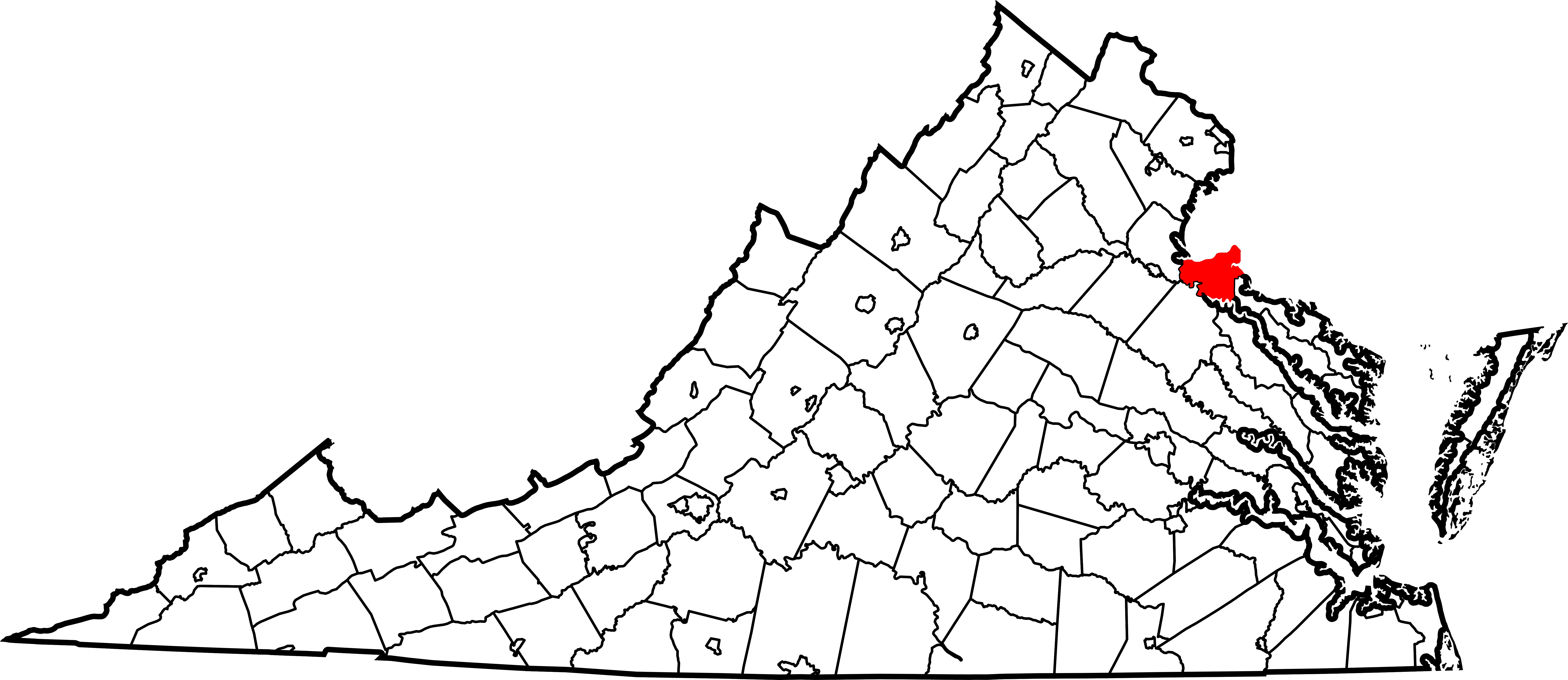
English: This is a locator map showing King George County in Virginia. For more information, see Commons:United States county locator maps. |
| Date | |
| Source |
Own work: English: The maps use data from nationalatlas.gov, specifically countyp020.tar.gz on the Raw Data Download page. The maps also use state outline data from statesp020.tar.gz. The Florida maps use hydrogm020.tar.gz to display Lake Okeechobee. |
| Author | David Benbennick |
| SVG development |
Licensing[edit]
| I, the copyright holder of this work, release this work into the public domain. This applies worldwide. In some countries this may not be legally possible; if so: I grant anyone the right to use this work for any purpose, without any conditions, unless such conditions are required by law. |
File history
Click on a date/time to view the file as it appeared at that time.
| Date/Time | Thumbnail | Dimensions | User | Comment | |
|---|---|---|---|---|---|
| current | 17:48, 12 February 2006 | | 7,486 × 3,247 (223 KB) | David Benbennick (talk | contribs) | {{subst:User:Dbenbenn/clm|county=King George County|state=Virginia|type=county}} |
You cannot overwrite this file.
File usage on Commons
The following 6 pages use this file:
- Category:Births in King George County, Virginia
- Category:King George County, Virginia
- Category:Maps of King George County, Virginia
- Category:National Register of Historic Places in King George County, Virginia
- Category:People of King George County, Virginia
- Category:Populated places in King George County, Virginia
File usage on other wikis
The following other wikis use this file:
- Usage on ar.wikipedia.org
- Usage on bpy.wikipedia.org
- Usage on cdo.wikipedia.org
- Usage on ceb.wikipedia.org
- Usage on ce.wikipedia.org
- Usage on cy.wikipedia.org
- Usage on de.wikipedia.org
- Usage on en.wikipedia.org
- List of cities and counties in Virginia
- King George County, Virginia
- Dahlgren, Virginia
- Fairview Beach, Virginia
- Category:King George County, Virginia
- Naval Surface Warfare Center Dahlgren Division
- Owens, Virginia
- Port Conway, Virginia
- King George, Virginia
- Potomac Creek
- Edgehill, King George County, Virginia
- Berthaville, Virginia
- Template:King George County, Virginia
- Caledon State Park
- Chotank Creek Natural Area Preserve
- Land's End Wildlife Management Area
- Alden, Virginia
- Allnut, Virginia
- Ambar, Virginia
- Chestnut Hill, King George County, Virginia
- Comorn, Virginia
- Dogue, Virginia
- Gayles, Virginia
- Gera, Virginia
- Goby, Virginia
- Hampstead, King George County, Virginia
- Hooes, Virginia
- Hop Yard Landing, Virginia
- Jersey, Virginia
- Lambs Creek, Virginia
- Milbank, Virginia
- Mustoe, King George County, Virginia
- Ninde, Virginia
- Office Hall, Virginia
- Osso, Virginia
- Passapatanzy, Virginia
- Prim, Virginia
- Sealston, Virginia
- Shiloh, King George County, Virginia
View more global usage of this file.