File:Mapacarr mayabeq.png
Jump to navigation
Jump to search
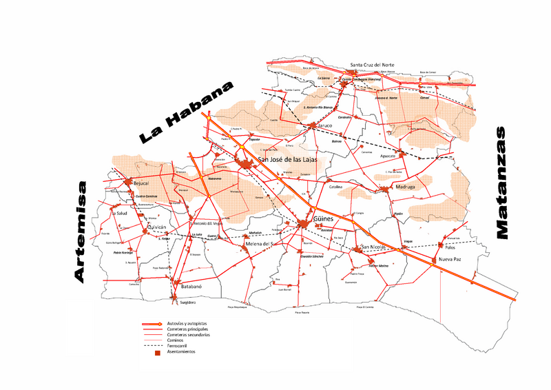
Size of this preview: 800 × 566 pixels. Other resolutions: 320 × 226 pixels | 640 × 453 pixels | 1,024 × 724 pixels | 1,280 × 905 pixels | 2,339 × 1,654 pixels.
Original file (2,339 × 1,654 pixels, file size: 335 KB, MIME type: image/png)
Captions
Captions
Add a one-line explanation of what this file represents
Summary[edit]
| Description |
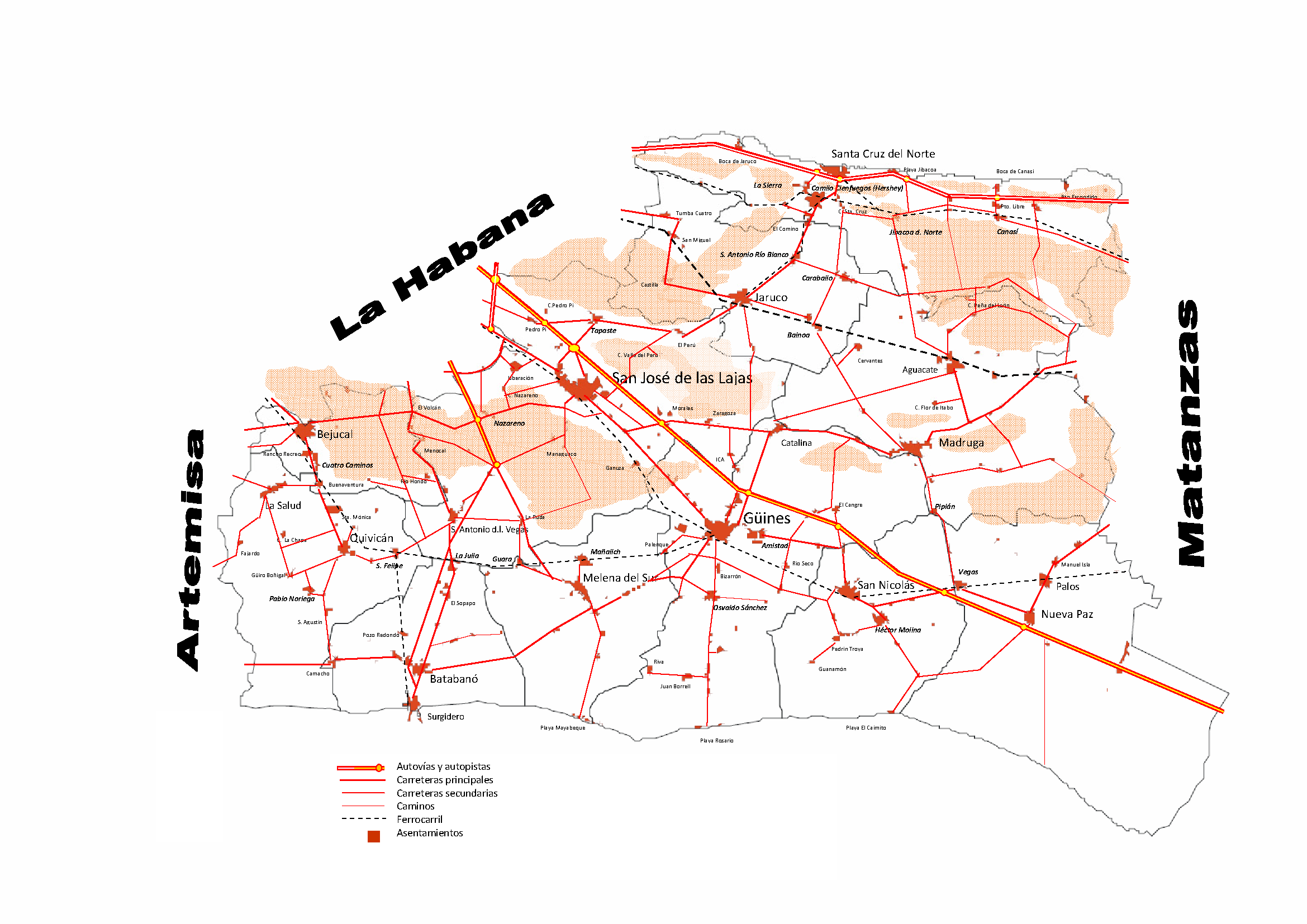
English: Road Map of Mayabeque province Cuba |
| Source | Own work |
| Author | Alabrada |
Licensing[edit]
I, the copyright holder of this work, hereby publish it under the following licenses:

|
Permission is granted to copy, distribute and/or modify this document under the terms of the GNU Free Documentation License, Version 1.2 or any later version published by the Free Software Foundation; with no Invariant Sections, no Front-Cover Texts, and no Back-Cover Texts. A copy of the license is included in the section entitled GNU Free Documentation License. |
This file is licensed under the Creative Commons Attribution-Share Alike Attribution-Share Alike 4.0 International, 3.0 Unported, 2.5 Generic, 2.0 Generic and 1.0 Generic license.
- You are free:
- to share – to copy, distribute and transmit the work
- to remix – to adapt the work
- Under the following conditions:
- attribution – You must give appropriate credit, provide a link to the license, and indicate if changes were made. You may do so in any reasonable manner, but not in any way that suggests the licensor endorses you or your use.
- share alike – If you remix, transform, or build upon the material, you must distribute your contributions under the same or compatible license as the original.
You may select the license of your choice.
File history
Click on a date/time to view the file as it appeared at that time.
| Date/Time | Thumbnail | Dimensions | User | Comment | |
|---|---|---|---|---|---|
| current | 02:42, 6 February 2011 | | 2,339 × 1,654 (335 KB) | Alabrada (talk | contribs) | Reverted to version as of 02:33, 6 February 2011 |
| 02:40, 6 February 2011 |  | 2,339 × 1,654 (335 KB) | Alabrada (talk | contribs) | Road Map of the Artemisa province Cuba | |
| 02:33, 6 February 2011 |  | 2,339 × 1,654 (335 KB) | Alabrada (talk | contribs) | Mapa de Carreteras de la provincia de Mayabeque | |
| 05:00, 7 November 2010 |  | 2,339 × 1,654 (396 KB) | Alabrada (talk | contribs) | {{Information |Description={{en|1=Road Map of Mayabeque province Cuba}} |Source={{own}} |Author=Alabrada |Date= |Permission= |other_versions= }} |
You cannot overwrite this file.
File usage on Commons
There are no pages that use this file.
File usage on other wikis
The following other wikis use this file:
- Usage on en.wikipedia.org
- Usage on es.wikipedia.org
- Usage on ka.wikipedia.org
- Usage on mk.wikipedia.org
- Usage on nl.wikipedia.org
- Usage on ru.wikipedia.org
- Usage on sco.wikipedia.org
- Usage on vi.wikipedia.org