File:Mazowieckie mapa fizyczna.png
Jump to navigation
Jump to search

Size of this preview: 579 × 600 pixels. Other resolutions: 232 × 240 pixels | 463 × 480 pixels | 741 × 768 pixels | 988 × 1,024 pixels | 1,977 × 2,048 pixels | 3,120 × 3,232 pixels.
Original file (3,120 × 3,232 pixels, file size: 940 KB, MIME type: image/png)
Captions
Captions
Add a one-line explanation of what this file represents
| Description |
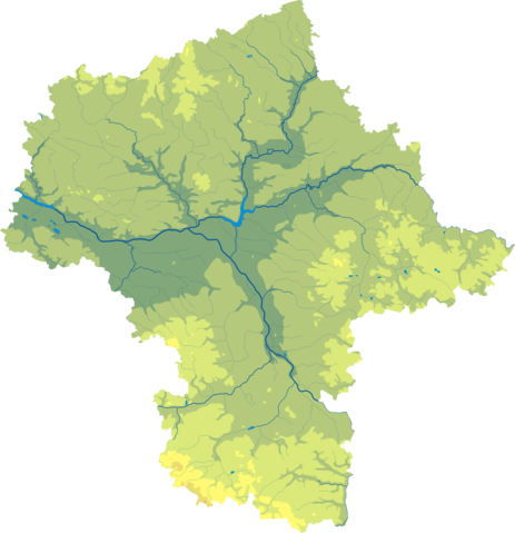
Polski: Mapa wód i ukształtowania powierzchni województwa opolskiego mazowieckiego.
Współrzędne graniczne mapy:
English: Relief map of Masovian Voivodeship. |
||
| Date | |||
| Source | Mazowieckie mapa fizyczna, which was created and published under GFDL-self by Aotearoa. | ||
| Author | Aotearoa | ||
| Permission (Reusing this file) |
|

Legend
[edit]

File history
Click on a date/time to view the file as it appeared at that time.
| Date/Time | Thumbnail | Dimensions | User | Comment | |
|---|---|---|---|---|---|
| current | 10:43, 29 October 2012 | | 3,120 × 3,232 (940 KB) | Aotearoa (talk | contribs) | drobne techniczne |
| 02:51, 12 February 2007 |  | 637 × 657 (121 KB) | Bonas (talk | contribs) | {{Information |Description= Relief map of Masovian Voivodeship. |Source= Mazowieckie mapa fizyczna, which was created and published under GFDL-self by [[:pl:Wikipedysta:Aotearoa|A |
You cannot overwrite this file.
File usage on Commons
The following page uses this file:
File usage on other wikis
The following other wikis use this file:
- Usage on be-tarask.wikipedia.org
- Usage on be.wikipedia.org
- Usage on bg.wikipedia.org
- Варшава
- Радом
- Пултуск
- Мшчонов
- Гостинин
- Гура Калвария
- Плоцк
- Остроленка
- Шедълце
- Прушков
- Легьоново
- Чеханов
- Отвоцк
- Пясечно
- Жирардов
- Сохачев
- Минск Мазовецки
- Воломин
- Млава (град)
- Зомбки
- Гроджиск Мазовецки
- Нови Двур Мазовецки
- Вишков
- Марки
- Пястов
- Остров Мазовецка
- Плонск
- Стар град във Варшава
- Бялобжеги
- Венгров
- Гарволин
- Груйец
- Журомин
- Ожаров Мазовецки
- Зволен (Полша)
- Коженице
- Липско
- Лошице
- Маков Мазовецки
- Пшасниш
- Пшисуха
- Соколов Подляски
- Шерпц
- Шидловец
- Кобилка
- Жельонка (Воломински окръг)
- Пьонки
- Сулейовек
View more global usage of this file.