File:Miyama in Fukuoka Prefecture.png
Jump to navigation
Jump to search
Size of this preview: 719 × 599 pixels. Other resolutions: 288 × 240 pixels | 576 × 480 pixels | 922 × 768 pixels | 1,081 × 901 pixels.
Original file (1,081 × 901 pixels, file size: 42 KB, MIME type: image/png)
Captions
Captions
Add a one-line explanation of what this file represents
Summary
[edit]
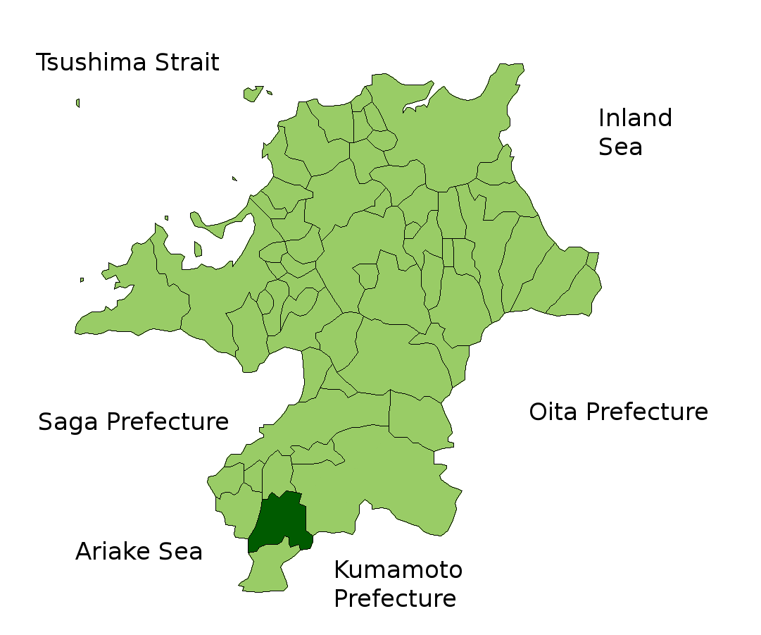
| Description | Location Map of Miyama in Fukuoka Prefecture, Japan |
| Date | |
| Source | File:FukuokaMapCurrent.png and rework |
| Author | user:alberth2 |
| Permission (Reusing this file) |
PD |
Licensing
[edit]
| I, the copyright holder of this work, release this work into the public domain. This applies worldwide. In some countries this may not be legally possible; if so: I grant anyone the right to use this work for any purpose, without any conditions, unless such conditions are required by law. |
File history
Click on a date/time to view the file as it appeared at that time.
| Date/Time | Thumbnail | Dimensions | User | Comment | |
|---|---|---|---|---|---|
| current | 14:30, 5 February 2010 | | 1,081 × 901 (42 KB) | Alberth2 (talk | contribs) | Kurogi Town, Tachibana Town, Hoshino Village, and Yabe Village were merged into Yame City. |
| 09:35, 17 January 2010 |  | 1,081 × 901 (42 KB) | Alberth2 (talk | contribs) | Maebaru city, Shima town and Nijo town were merged to Itoshima City. | |
| 09:35, 17 January 2010 |  | 1,081 × 901 (42 KB) | Alberth2 (talk | contribs) | Maebaru city, Shima town and Nijo town were merged to Itoshima City. | |
| 09:08, 16 January 2010 |  | 1,081 × 901 (42 KB) | Alberth2 (talk | contribs) | Maebaru city, Shima town and Nijo town were merged to Itoshima City. | |
| 05:55, 12 May 2009 |  | 1,081 × 901 (42 KB) | Alberth2 (talk | contribs) | == Summary == {{Information |Description=Location Map of Miyama in Fukuoka Prefecture, Japan |Source=File:FukuokaMapCurrent.png and rework |Date=May. 12th, 2009 |Author=user:alberth2 |Permission=PD |other_versions= }} == Licensing == {{PD-self}} |
You cannot overwrite this file.
File usage on Commons
There are no pages that use this file.
File usage on other wikis
The following other wikis use this file:
- Usage on fa.wikipedia.org
- Usage on ro.wikipedia.org
- Usage on sco.wikipedia.org
- Usage on zh-classical.wikipedia.org
- Usage on zh.wikipedia.org