File:Mongolei-Topografie,Atlas1903.JPG
Original file (879 × 725 pixels, file size: 167 KB, MIME type: image/jpeg)
Captions
Captions
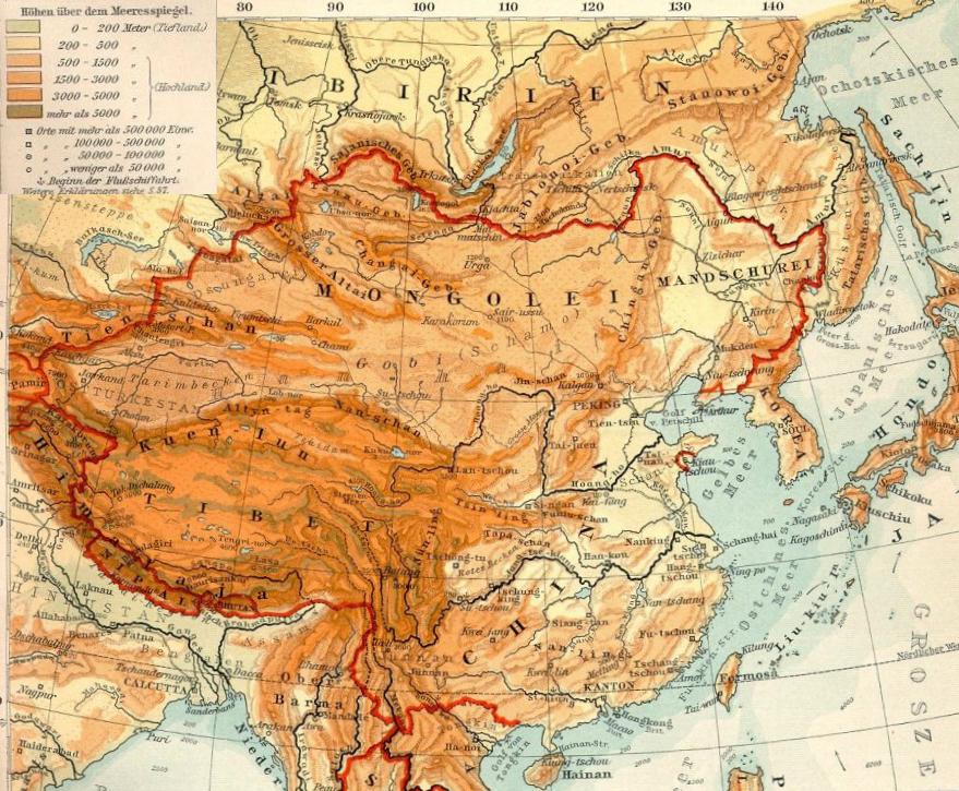
| Description |
Deutsch: Topografie der Mongolei |
| Date | |
| Source | Transferred from de.wikipedia to Commons. See also Datei:OstasienTopografie.jpg, Ausschnitt aus Verhagen-Atlas 1903) |
| Author | Geof (Bearb. +Kartenlegende) |
Licensing
[edit]
|
This work is in the public domain in its country of origin and other countries and areas where the copyright term is the author's life plus 70 years or fewer.
| |
| This file has been identified as being free of known restrictions under copyright law, including all related and neighboring rights. | |
Original upload log
[edit]
- 2009-03-25 17:12 Geof 871×621× (194656 bytes) {{Information |Beschreibung = Topografie der Mongolei |Quelle = [Datei:OstasienTopografie.jpg], Ausschnitt aus Verhagen-Atlas 1903 |Urheber = Geof (Bearb. +Kartenlegende) |Datum = 25.3.2009 |Andere Versionen = |Anmerkungen = }}
| Annotations | This image is annotated: View the annotations at Commons |
File history
Click on a date/time to view the file as it appeared at that time.
| Date/Time | Thumbnail | Dimensions | User | Comment | |
|---|---|---|---|---|---|
| current | 15:06, 11 October 2019 | | 879 × 725 (167 KB) | Бмхүн (talk | contribs) | {{DEFAULTSORT:}} |
| 15:04, 11 October 2019 |  | 879 × 725 (892 KB) | Бмхүн (talk | contribs) | {{NAMESPACE}}{{DEFAULTSORT:<languages/><code><nowiki></nowiki></code>}} | |
| 09:23, 15 November 2009 |  | 871 × 621 (190 KB) | Gikü (talk | contribs) | {{Information |Description={{de|Topografie der Mongolei}} |Source=Transferred from [http://de.wikipedia.org de.wikipedia]. See also de::Datei:OstasienTopografie.jpg, Ausschnitt aus Verhagen-Atlas 1903'') |Date={{Date|2009|03|25}} |Author=Geof (Bearb |
You cannot overwrite this file.
File usage on Commons
There are no pages that use this file.
File usage on other wikis
The following other wikis use this file:
- Usage on ba.wikipedia.org
- Usage on bn.wikipedia.org
- Usage on ca.wikipedia.org
- Usage on cs.wikipedia.org
- Usage on de.wikipedia.org
- Usage on el.wikipedia.org
- Usage on en.wikipedia.org
- Usage on eo.wikipedia.org
- Usage on es.wikipedia.org
- Usage on eu.wikipedia.org
- Usage on fa.wikipedia.org
- Usage on fi.wikipedia.org
- Usage on gl.wikipedia.org
- Usage on hr.wikipedia.org
- Usage on it.wikipedia.org
- Usage on ml.wikipedia.org
- Usage on mn.wikipedia.org
- Usage on no.wikipedia.org
- Usage on ro.wikipedia.org
- Usage on sl.wikipedia.org
- Usage on sr.wikipedia.org
- Usage on sw.wikipedia.org
- Usage on tr.wikipedia.org
- Usage on www.wikidata.org
- Usage on zh.wikipedia.org