File:NASA Hawaiian Islands main islands.png
Vai alla navigazione
Vai alla ricerca

Dimensioni di questa anteprima: 800 × 432 pixel. Altre risoluzioni: 320 × 173 pixel | 640 × 346 pixel | 948 × 512 pixel.
File originale (948 × 512 pixel, dimensione del file: 79 KB, tipo MIME: image/png)
Didascalie
Didascalie
Aggiungi una brevissima spiegazione di ciò che questo file rappresenta
This file was cropped from the original NASA tif[1] copia archiviata at the Wayback Machine
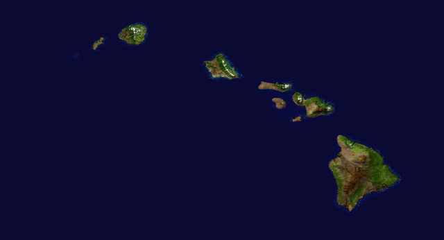
| Descrizione | Satellite composition of the whole Earth's surface. |
| Data | image released 11. Feb. 2002 |
| Fonte |
NASA - Visible Earth, image cropped by HighInBC |
| Autore | NASA/Goddard Space Flight Center |
| Licenza (Riusare questo file) |
Copyright information from http://visibleearth.nasa.gov/useterms.php - With the exception of images produced by the SeaWiFS, QuickBird, and IKONOS instruments all images on the Visible Earth are governed by NASA's Terms of Use below. [...] For all non-private uses, NASA's Terms Of Use are as follows: 1. The imagery is free of licensing fees 2. NASA requires that they be provided a credit as the owners of the imagery [...] |
| Questo file è nel pubblico dominio perché creato dalla NASA. La politica sul copyright della NASA afferma che «il materiale della NASA non è protetto da copyright a meno che non sia specificato altrimenti». (NASA copyright policy e JPL Image Use Policy). | ||
 |
Attenzione:
|
Cronologia del file
Fare clic su un gruppo data/ora per vedere il file come si presentava nel momento indicato.
| Data/Ora | Miniatura | Dimensioni | Utente | Commento | |
|---|---|---|---|---|---|
| attuale | 19:28, 6 set 2006 | | 948 × 512 (79 KB) | Kahuroa (discussione | contributi) | This file was cropped from the original NASA tif[http://visibleearth.nasa.gov/images/2433/land_shallow_topo_west.tif] {{Information| |Description = Satellite composition of the whole Earth's surface. |Source = NASA - Visible Earth, image cropped by [[Use |
Impossibile sovrascrivere questo file.
Utilizzo del file
Nessuna pagina utilizza questo file.
Utilizzo globale del file
Anche i seguenti wiki usano questo file:
- Usato nelle seguenti pagine di fr.wikipedia.org:
- Usato nelle seguenti pagine di it.wikipedia.org:
- Usato nelle seguenti pagine di it.wikibooks.org:
- Usato nelle seguenti pagine di it.wikiversity.org:
- Usato nelle seguenti pagine di lmo.wikipedia.org:
- Usato nelle seguenti pagine di pms.wikipedia.org: