File:NO 1503 Kristiansund.svg
Jump to navigation
Jump to search

Size of this PNG preview of this SVG file: 654 × 538 pixels. Other resolutions: 292 × 240 pixels | 584 × 480 pixels | 934 × 768 pixels | 1,245 × 1,024 pixels | 2,490 × 2,048 pixels.
Original file (SVG file, nominally 654 × 538 pixels, file size: 321 KB)
Captions
Captions
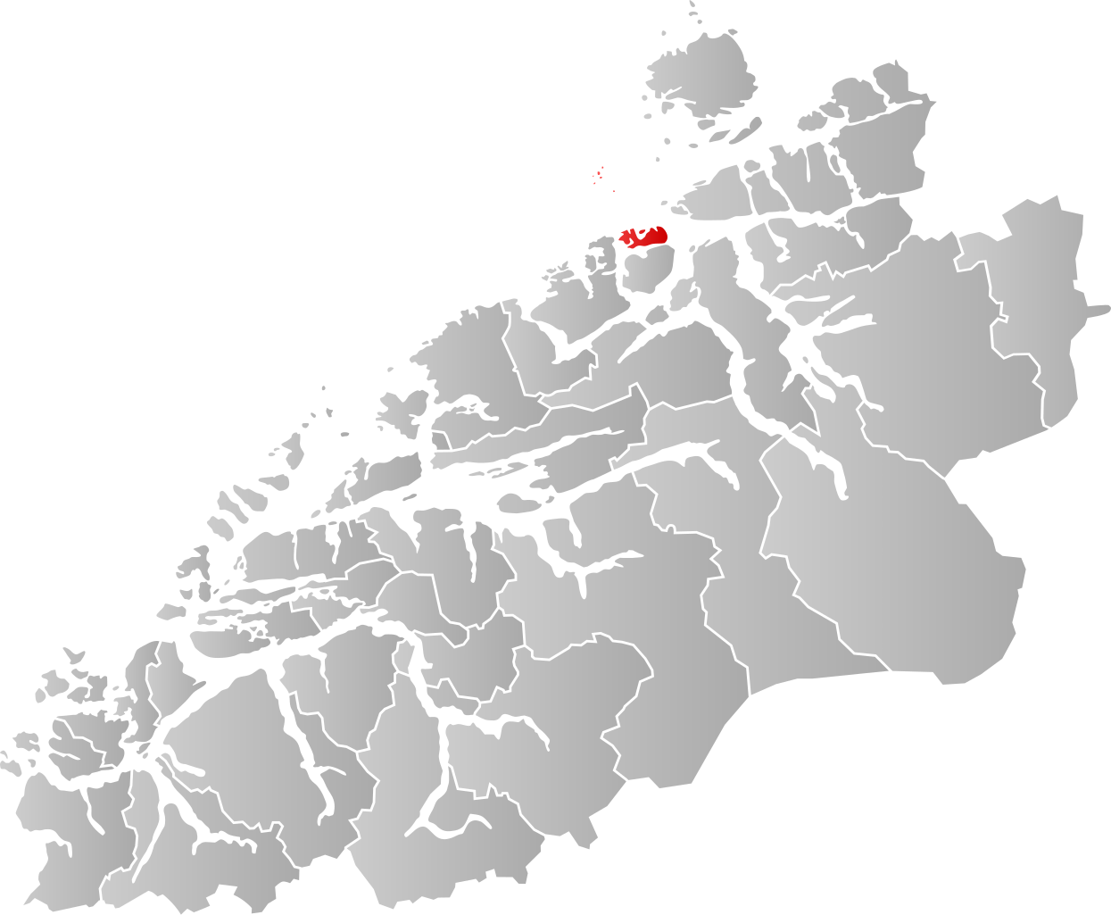
Old map of Kristiansund municipality in Norway.
| Description |
Norsk bokmål: Kart som viser Kristiansunds plassering innen Møre og Romsdal, laga av Jon Harald Søby.
Svenska: Karta som visar Kristiansund kommuns läge i Møre og Romsdal fylke, skapad av Jon Harald Søby. |
||
| Date | |||
| Source | Own work | ||
| Author | Jon Harald Søby | ||
| Permission (Reusing this file) |
|
||
| SVG development |
File history
Click on a date/time to view the file as it appeared at that time.
| Date/Time | Thumbnail | Dimensions | User | Comment | |
|---|---|---|---|---|---|
| current | 20:06, 18 May 2019 | | 654 × 538 (321 KB) | Jay1279 (talk | contribs) | fix islands of grip |
| 02:17, 17 May 2019 |  | 654 × 538 (165 KB) | Jay1279 (talk | contribs) | improved accuracy | |
| 19:32, 22 January 2007 |  | 546 × 402 (109 KB) | Jon Harald Søby (talk | contribs) | {{User:Jon Harald Søby/Kartlisens|Kristiansund|Møre og Romsdal}} |
You cannot overwrite this file.
File usage on Commons
There are no pages that use this file.
File usage on other wikis
The following other wikis use this file:
- Usage on en.wikipedia.org
- Usage on sl.wikipedia.org
- Usage on vi.wikipedia.org
- Usage on www.wikidata.org