File:Nana-Mambéré (Central African Republic).svg
Jump to navigation
Jump to search

Size of this PNG preview of this SVG file: 800 × 553 pixels. Other resolutions: 320 × 221 pixels | 640 × 442 pixels | 1,024 × 708 pixels | 1,280 × 885 pixels | 2,560 × 1,769 pixels | 1,606 × 1,110 pixels.
Original file (SVG file, nominally 1,606 × 1,110 pixels, file size: 465 KB)
Captions
Captions
Add a one-line explanation of what this file represents
| Description |
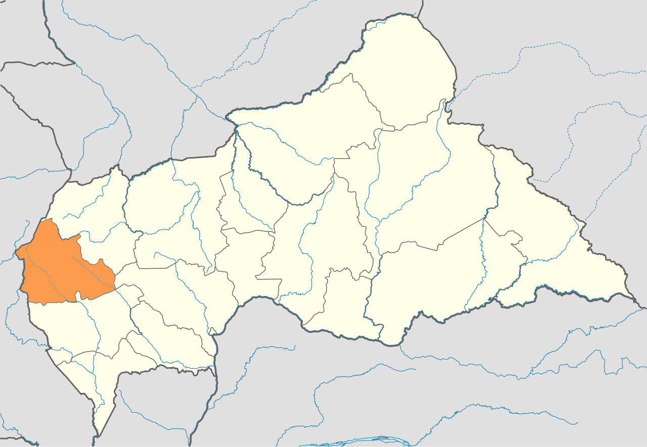
Deutsch: Positionskarte der Zentralafrikanischen Republik Quadratische Plattkarte, N-S-Streckung 101 %. Geographische Begrenzung der Karte: * N: 11.3° N * S: 2.0° N * W: 14.1° O * O: 27.7° O English: Location map of the Central African Republic Equirectangular projection, N/S stretching 101 %. Geographic limits of the map: * N: 11.3° N * S: 2.0° N * W: 14.1° E * E: 27.7° E
Русский: Расположение префектуры Нана-Мамбере на карте Центральноафриканской Республики |
| Date | (UTC) |
| Source | |
| Author |
|
| This is a retouched picture, which means that it has been digitally altered from its original version. Modifications: расцветка. The original can be viewed here: Central African Republic location map.svg:
|
I, the copyright holder of this work, hereby publish it under the following license:
This file is licensed under the Creative Commons Attribution-Share Alike 3.0 Unported license.
- You are free:
- to share – to copy, distribute and transmit the work
- to remix – to adapt the work
- Under the following conditions:
- attribution – You must give appropriate credit, provide a link to the license, and indicate if changes were made. You may do so in any reasonable manner, but not in any way that suggests the licensor endorses you or your use.
- share alike – If you remix, transform, or build upon the material, you must distribute your contributions under the same or compatible license as the original.
Original upload log[edit]
.svg&action=edit§ion=1)
This image is a derivative work of the following images:
- File:Central_African_Republic_location_map.svg licensed with Cc-by-sa-3.0
- 2009-12-05T20:47:16Z NordNordWest 1606x1110 (569828 Bytes) =={{int:filedesc}}== {{Information |Description= {{de|Positionskarte der [[:de:Zentralafrikanische Republik|Zentralafrikanischen Republik]]}} Quadratische Plattkarte, N-S-Streckung 101 %. Geographische Begrenzung der Karte: *
Uploaded with derivativeFX
File history
Click on a date/time to view the file as it appeared at that time.
| Date/Time | Thumbnail | Dimensions | User | Comment | |
|---|---|---|---|---|---|
| current | 18:10, 15 May 2011 | | 1,606 × 1,110 (465 KB) | Chtototakoe (talk | contribs) | {{Information |Description={{de|Positionskarte der Zentralafrikanischen Republik}} Quadratische Plattkarte, N-S-Streckung 101 %. Geographische Begrenzung der Karte: * N: 11.3° N * S: 2.0° N * W: 14.1° O * O: 27.7° |
You cannot overwrite this file.
File usage on Commons
There are no pages that use this file.
File usage on other wikis
The following other wikis use this file:
- Usage on ka.wikipedia.org
- Usage on ru.wikipedia.org
- Usage on xmf.wikipedia.org
.svg&oldid=493442904)