File:Ostrovul Ciocanesti.png
Jump to navigation
Jump to search

Size of this preview: 800 × 492 pixels. Other resolutions: 320 × 197 pixels | 640 × 394 pixels | 990 × 609 pixels.
Original file (990 × 609 pixels, file size: 1.09 MB, MIME type: image/png)
Captions
Captions
Add a one-line explanation of what this file represents
Summary[edit]
| Description |
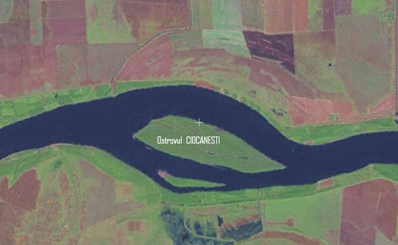
English: Ostrovul Ciocanesti (Ciocanesti Island) from satellite.
|
||||
| Date | Nasa World Wind | ||||
| Source | Nasa World Wind | ||||
| Author | Compactforever |
Danube
Licensing[edit]
| This image is in the public domain because it is a screenshot from NASA’s globe software World Wind using a public domain layer, such as Blue Marble, MODIS, Landsat, SRTM, USGS or GLOBE.
|
 |
File history
Click on a date/time to view the file as it appeared at that time.
| Date/Time | Thumbnail | Dimensions | User | Comment | |
|---|---|---|---|---|---|
| current | 17:32, 8 June 2009 | | 990 × 609 (1.09 MB) | Compactforever (talk | contribs) | {{Information |Description={{en|1=Ostrovul Ciocanesti (Ciocanesti Island) from satellite.}} |Source=Nasa World Wind |Author=Compactforever |Date=Nasa World Wind |Permission= |other_versions= }} Danube <!--{{ImageUpload|full}}--> Category:Island [[Cate |
You cannot overwrite this file.
File usage on Commons
There are no pages that use this file.
File usage on other wikis
The following other wikis use this file:
- Usage on ceb.wikipedia.org
- Usage on de.wikipedia.org
- Usage on el.wikipedia.org
- Usage on en.wikipedia.org
- Usage on es.wikipedia.org
- Usage on hr.wikipedia.org
- Usage on ro.wikipedia.org
- Usage on sk.wikipedia.org
- Usage on sr.wikipedia.org
- Usage on uk.wikipedia.org
- Usage on www.wikidata.org