File:Outline Map of Chudovsky District (Novgorod Oblast).svg
Jump to navigation
Jump to search

Size of this PNG preview of this SVG file: 630 × 600 pixels. Other resolutions: 252 × 240 pixels | 504 × 480 pixels | 806 × 768 pixels | 1,075 × 1,024 pixels | 2,150 × 2,048 pixels.
Original file (SVG file, nominally 630 × 600 pixels, file size: 31 KB)
Captions
Captions
Add a one-line explanation of what this file represents
Summary
[edit].svg&action=edit§ion=1)
| Description |
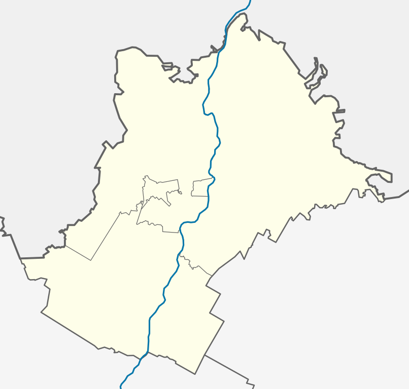
Русский: Позиционная карта Чудовского района Новгородской области |
| Date | |
| Source | Own work |
| Author | Loginname |
Licensing
[edit].svg&action=edit§ion=2)
I, the copyright holder of this work, hereby publish it under the following license:
This file is licensed under the Creative Commons Attribution-Share Alike 3.0 Unported license.
- You are free:
- to share – to copy, distribute and transmit the work
- to remix – to adapt the work
- Under the following conditions:
- attribution – You must give appropriate credit, provide a link to the license, and indicate if changes were made. You may do so in any reasonable manner, but not in any way that suggests the licensor endorses you or your use.
- share alike – If you remix, transform, or build upon the material, you must distribute your contributions under the same or compatible license as the original.
File history
Click on a date/time to view the file as it appeared at that time.
| Date/Time | Thumbnail | Dimensions | User | Comment | |
|---|---|---|---|---|---|
| current | 18:13, 16 November 2012 | | 630 × 600 (31 KB) | Loginname (talk | contribs) | |
| 20:08, 26 September 2011 |  | 630 × 600 (30 KB) | Loginname (talk | contribs) |
You cannot overwrite this file.
File usage on Commons
There are no pages that use this file.
File usage on other wikis
The following other wikis use this file:
- Usage on fi.wikipedia.org
- Usage on ru.wikipedia.org
- Чудово
- Чудовский район
- Краснофарфорный
- Селищи (Чудовский район)
- Спасская Полисть (деревня)
- Трегубово (Новгородская область)
- Грузино (Новгородская область)
- Зуево (Чудовский район)
- Сябреницы
- Мостки (Новгородская область)
- Большое Опочивалово
- Лядно (приток Глубочки)
- Глушица (Чудовский район)
- Шаблон:ПозКарта Россия Новгородская область Чудовский район
- Радищево (Новгородская область)
- Волхов Мост
- Суворовка (Новгородская область)
- Придорожная (Чудовский район)
- Рабочий посёлок имени Коминтерна
- Оскуй (село)
- Высокое (Чудовский район)
- Спасская Полисть (железнодорожная станция, населённый пункт)
- Вяжищи (Чудовский район)
- Арефино (Новгородская область)
- Водосье
- Зеленцы (деревня, Чудовский район)
- Карловка (Новгородская область)
- Кочково (Новгородская область)
- Нечанье
- Деделёво
- Курников Остров
- Лезно (Чудовский район)
- Торфяное (деревня, Новгородская область)
- Корпово (Чудовский район)
- Слобода (Чудовский район)
- Тушино (Новгородская область)
- Марьино (Новгородская область)
- Пертечно
- Дмитровка (Новгородская область)
- Иваньково (Чудовский район)
- Потапов Хутор
- Лука-2
- Успенское (Новгородская область)
- Чудово-3
- Волхово (Новгородская область)
- Кузино (Новгородская область)
- Кипрово (Новгородская область)
- Вергежа
View more global usage of this file.
.svg)
.svg&oldid=427189502)