File:Outline Map of Rudnyansky District (Volgograd Oblast).svg
Jump to navigation
Jump to search

Size of this PNG preview of this SVG file: 474 × 600 pixels. Other resolutions: 190 × 240 pixels | 379 × 480 pixels | 607 × 768 pixels | 809 × 1,024 pixels | 1,618 × 2,048 pixels | 1,253 × 1,586 pixels.
Original file (SVG file, nominally 1,253 × 1,586 pixels, file size: 358 KB)
Captions
Captions
Add a one-line explanation of what this file represents
| Description |
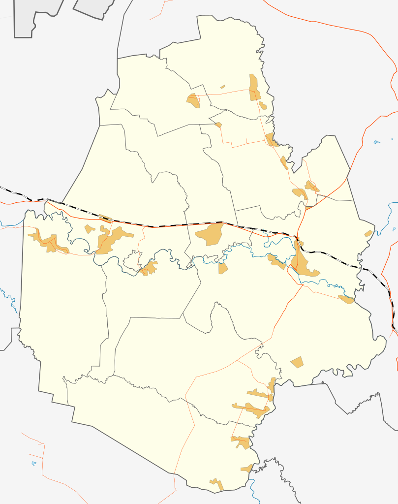
Русский: Карта Руднянского района. |
| Date | |
| Source | собственная работа на основе http://www.openstreetmap.org/ |
| Author | Chtototakoe |
I, the copyright holder of this work, hereby publish it under the following license:
This file is licensed under the Creative Commons Attribution-Share Alike 3.0 Unported license.
- You are free:
- to share – to copy, distribute and transmit the work
- to remix – to adapt the work
- Under the following conditions:
- attribution – You must give appropriate credit, provide a link to the license, and indicate if changes were made. You may do so in any reasonable manner, but not in any way that suggests the licensor endorses you or your use.
- share alike – If you remix, transform, or build upon the material, you must distribute your contributions under the same or compatible license as the original.
File history
Click on a date/time to view the file as it appeared at that time.
| Date/Time | Thumbnail | Dimensions | User | Comment | |
|---|---|---|---|---|---|
| current | 11:08, 24 November 2012 | | 1,253 × 1,586 (358 KB) | Chtototakoe (talk | contribs) | {{Information |Description={{ru|Карта Руднянского района.}} |Source= собственная работа на основе http://www.openstreetma... |
You cannot overwrite this file.
File usage on Commons
The following 2 pages use this file:
File usage on other wikis
The following other wikis use this file:
- Usage on ce.wikipedia.org
- Usage on fr.wikipedia.org
- Usage on hy.wikipedia.org
- Usage on ru.wikipedia.org
- Рудня (Волгоградская область)
- Руднянский район (Волгоградская область)
- Лопуховка (Волгоградская область)
- Матышево
- Шаблон:ПозКарта Россия Волгоградская область Руднянский район
- Руднянское городское поселение (Волгоградская область)
- Ильменское сельское поселение (Руднянский район)
- Матышевское сельское поселение
- Лемешкино
- Ильмень (Волгоградская область)
- Козловка (Волгоградская область)
- Осички
- Егоровка-на-Медведице
- Громки (Руднянский район)
- Подкуйково
- Большое Судачье
- Сосновка (Руднянский район)
- Малое Матышево
- Новый Кондаль
- Старый Кондаль
- Русская Бундевка
- Терсинка (село)
- Баранниково (Волгоградская область)
- Бородаевка (Волгоградская область)
- Берёзовка (Руднянский район)
- Крутое (Волгоградская область)
- Разливка
- Митякино (Волгоградская область)
- Матышево (пристанционный посёлок)
- Садовый (Руднянский район)
- Ягодный (Руднянский район)
- Ушинка (Волгоградская область)
- Новокрасино
- Usage on uk.wikipedia.org
- Usage on www.wikidata.org
.svg&oldid=492544560)