File:POL gmina Goworowo COA.svg
Jump to navigation
Jump to search

Size of this PNG preview of this SVG file: 533 × 600 pixels. Other resolutions: 213 × 240 pixels | 427 × 480 pixels | 683 × 768 pixels | 910 × 1,024 pixels | 1,820 × 2,048 pixels.
Original file (SVG file, nominally 800 × 900 pixels, file size: 21 KB)
Captions
Captions
Add a one-line explanation of what this file represents
Summary
[edit]| Description |
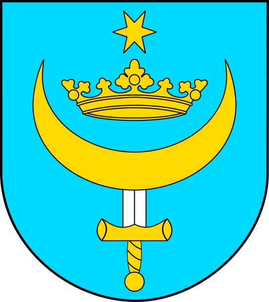
Polski: Herb gminy Goworowo English: Coat of arms of gmina Goworowo |
|||
| Date | ||||
| Source | Own work | |||
| Author | Avalokitesvara | |||
| Permission (Reusing this file) |
|

Licensing
[edit]
I, the copyright holder of this work, hereby publish it under the following license:
This file is licensed under the Creative Commons Attribution-Share Alike 3.0 Unported license.
- You are free:
- to share – to copy, distribute and transmit the work
- to remix – to adapt the work
- Under the following conditions:
- attribution – You must give appropriate credit, provide a link to the license, and indicate if changes were made. You may do so in any reasonable manner, but not in any way that suggests the licensor endorses you or your use.
- share alike – If you remix, transform, or build upon the material, you must distribute your contributions under the same or compatible license as the original.
File history
Click on a date/time to view the file as it appeared at that time.
| Date/Time | Thumbnail | Dimensions | User | Comment | |
|---|---|---|---|---|---|
| current | 09:14, 15 July 2014 | | 800 × 900 (21 KB) | Avalokitesvara (talk | contribs) | User created page with UploadWizard |
You cannot overwrite this file.
File usage on Commons
The following page uses this file:
File usage on other wikis
The following other wikis use this file:
- Usage on be.wikipedia.org
- Usage on de.wikipedia.org
- Usage on en.wikipedia.org
- Kunin (Poland)
- Gmina Goworowo
- Template:Gmina Goworowo
- Goworowo, Płońsk County
- Borki, Ostrołęka County
- Brzeźno, Masovian Voivodeship
- Brzeźno-Kolonia
- Czarnowo, Ostrołęka County
- Czernie
- Damięty
- Daniłowo, Ostrołęka County
- Dzbądzek
- Gierwaty, Ostrołęka County
- Góry, Ostrołęka County
- Goworówek
- Goworowo, Ostrołęka County
- Grabowo, Gmina Goworowo
- Grodzisk, Ostrołęka County
- Jawory-Podmaście
- Jawory-Wielkopole
- Jemieliste, Masovian Voivodeship
- Józefowo, Ostrołęka County
- Jurgi, Masovian Voivodeship
- Kaczka, Masovian Voivodeship
- Cisk, Poland
- Kobylin, Ostrołęka County
- Kruszewo, Ostrołęka County
- Lipianka
- Ludwinowo, Ostrołęka County
- Michałowo, Gmina Goworowo
- Nogawki
- Pasieki, Ostrołęka County
- Pokrzywnica, Ostrołęka County
- Pokrzywnica-Kolonia
- Ponikiew Duża
- Ponikiew Mała
- Ponikiew Mała-Kolonia
- Rębisze-Działy
- Rębisze-Kolonia
- Rębisze-Parcele
- Stare Jawory
- Struniawy
- Szarłat, Masovian Voivodeship
- Szczawin, Ostrołęka County
- Wólka Brzezińska
- Wólka Kunińska
View more global usage of this file.