File:POL gmina Kętrzyn COA.svg
Jump to navigation
Jump to search

Size of this PNG preview of this SVG file: 455 × 554 pixels. Other resolutions: 197 × 240 pixels | 394 × 480 pixels | 631 × 768 pixels | 841 × 1,024 pixels | 1,682 × 2,048 pixels.
Original file (SVG file, nominally 455 × 554 pixels, file size: 38 KB)
Captions
Captions
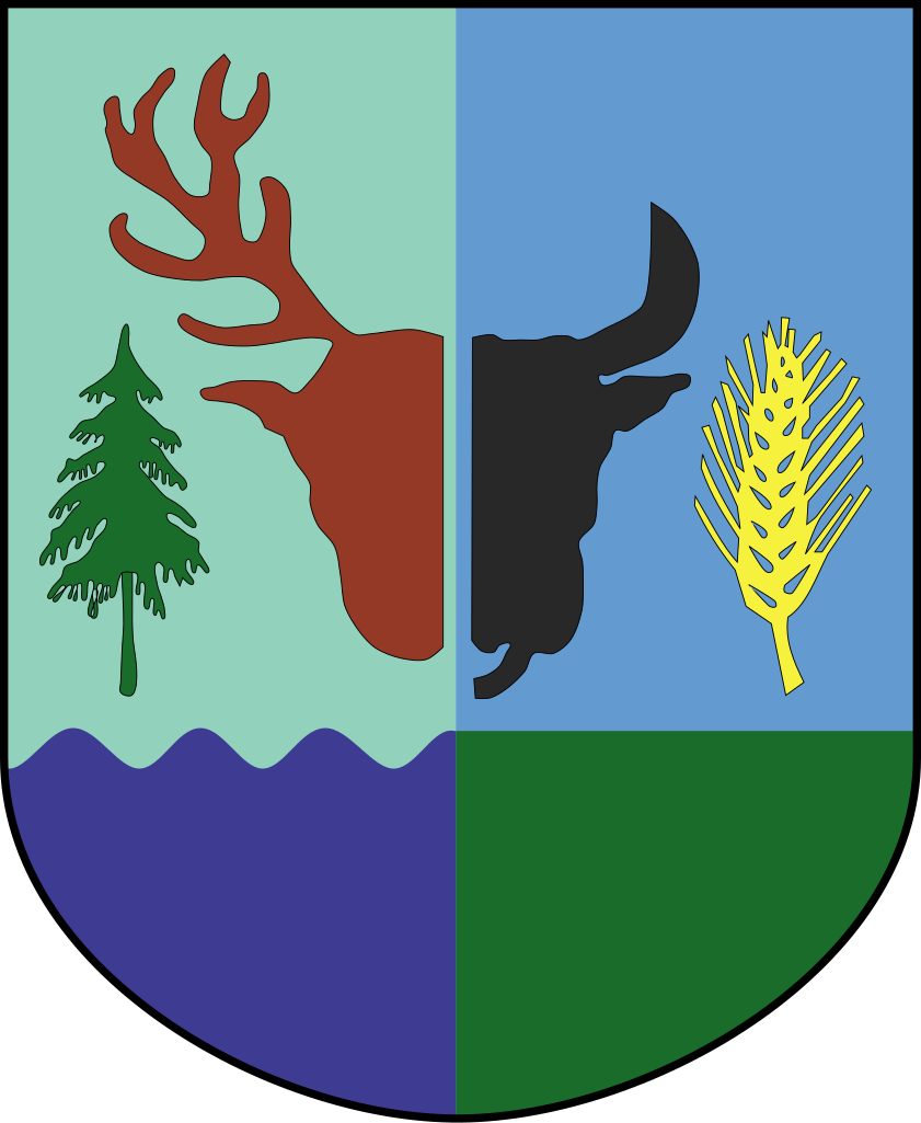
Coat of arms of the municipality of Kętrzyn (Rastenburg), Poland.
| Description |
Polski: Herb gminy #G#
Deutsch: Wappen der Gemeinde Kętrzyn (Rastenburg), Polen. |
| Source |
This W3C-unspecified vector image was created with Inkscape . |
| Author | Semu |
This image is in the public domain according to Article 4, case 2 of the Polish Copyright Law Act of February 4, 1994 (Dz. U. z 2022 r. poz. 2509 with later changes) "normative acts and drafts thereof as well as official documents, materials, signs and symbols are not subject to copyrights". Hence it is assumed that this image has been released into public domain. However in some instances the use of this image in Poland might be regulated by other laws.
|
 |
File history
Click on a date/time to view the file as it appeared at that time.
| Date/Time | Thumbnail | Dimensions | User | Comment | |
|---|---|---|---|---|---|
| current | 21:42, 10 March 2009 | | 455 × 554 (38 KB) | Semu (talk | contribs) | {{Information |Description={{pl|Herb gminy #G#}} |Source={{created with Inkscape}} [http://www.bip.ketrzyn.sprint.com.pl/article/prawo_lokalne/statut_gminy_ketrzyn/index.php/id_item_tree/931931fee5543bcc9b18f3cab4ff2753 UCHWAŁA Nr IX/36 |
You cannot overwrite this file.
File usage on Commons
The following 3 pages use this file:
File usage on other wikis
The following other wikis use this file:
- Usage on azb.wikipedia.org
- Usage on be.wikipedia.org
- Usage on de.wikipedia.org
- Nakomiady
- Zalesie Kętrzyńskie
- Banaszki
- Biedaszki (Kętrzyn)
- Czerniki
- Gałwuny
- Gierłoż (Kętrzyn)
- Jeżewo (Kętrzyn)
- Karolewo (Kętrzyn)
- Kruszewiec (Kętrzyn)
- Stara Różanka
- Kwiedzina
- Linkowo
- Łazdoje
- Muławki
- Nowa Różanka (Kętrzyn)
- Nowa Wieś Kętrzyńska
- Nowy Młyn (Kętrzyn)
- Parcz
- Poganowo
- Pożarki
- Pręgowo (Kętrzyn)
- Wilkowo (Kętrzyn)
- Wopławki
- Koczarki
- Vorlage:Navigationsleiste Ortsteile der Landgemeinde Kętrzyn
- Przeczniak
- Mażany
- Gryzławki
- Gmina Kętrzyn
- Suchodoły (Kętrzyn)
- Martiany
- Stachowizna
- Henrykowo (Kętrzyn)
- Borki (Kętrzyn)
- Kaskajmy
- Olchowo (Kętrzyn)
- Katkajmy
- Kotkowo (Kętrzyn)
- Wajsznory
- Głobie
- Poganówko
- Grabno (Kętrzyn)
- Langanki (Kętrzyn)
- Salpik
- Bałowo (Kętrzyn)
- Ugiertowo
- Sykstyny
View more global usage of this file.