File:Saint-Ouen-La-Rouërie (35) Mairie.jpg
Jump to navigation
Jump to search
Size of this preview: 800 × 472 pixels. Other resolutions: 320 × 189 pixels | 640 × 377 pixels | 1,024 × 604 pixels | 1,280 × 755 pixels | 2,981 × 1,758 pixels.
Original file (2,981 × 1,758 pixels, file size: 1.38 MB, MIME type: image/jpeg)
Captions
Captions
Add a one-line explanation of what this file represents
Summary
[edit]_Mairie.jpg&action=edit§ion=1)
| Description |
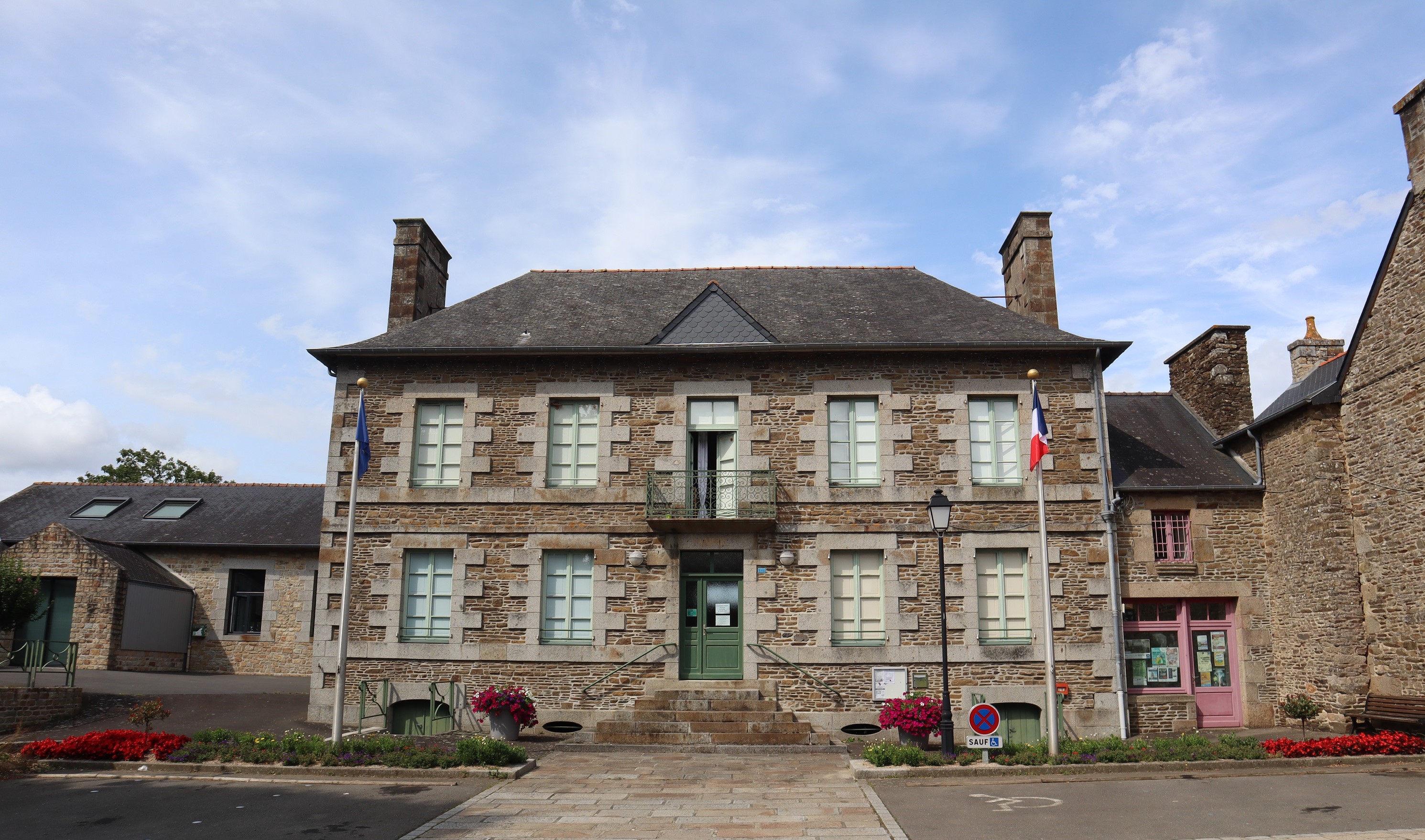
Français : Mairie de Saint-Ouen-La-Rouërie (35) |
| Date | |
| Source | Own work |
| Author | GO69 |
| Object location | | View this and other nearby images on: OpenStreetMap |
|---|
_Mairie.jpg¶ms=048.462979_N_-001.443254_E_globe:Earth_class:object_type:object__&language=en)
|
This building is indexed in the base Mérimée, a database of architectural heritage maintained by the French Ministry of Culture, under the reference IA35049688
|
Licensing
[edit]_Mairie.jpg&action=edit§ion=2)
| I, the copyright holder of this work, release this work into the public domain. This applies worldwide. In some countries this may not be legally possible; if so: I grant anyone the right to use this work for any purpose, without any conditions, unless such conditions are required by law. |
File history
Click on a date/time to view the file as it appeared at that time.
| Date/Time | Thumbnail | Dimensions | User | Comment | |
|---|---|---|---|---|---|
| current | 04:57, 17 July 2023 | | 2,981 × 1,758 (1.38 MB) | GO69 (talk | contribs) | |
| 17:24, 18 November 2010 |  | 596 × 447 (57 KB) | GO69 (talk | contribs) | {{Information |Description={{fr|1=Mairie de Saint-Ouen-La-Rouërie (35)}} |Source={{own}} |Author=GO69 |Date=18/11/2010 |Permission= |other_versions= }} Category:Town halls in Ille-et-Vilaine |
You cannot overwrite this file.
File usage on Commons
The following page uses this file:
File usage on other wikis
The following other wikis use this file:
- Usage on br.wikipedia.org
- Usage on ca.wikipedia.org
- Usage on ceb.wikipedia.org
- Usage on ce.wikipedia.org
- Usage on cs.wikipedia.org
- Usage on cy.wikipedia.org
- Usage on en.wikipedia.org
- Usage on es.wikipedia.org
- Usage on eu.wikipedia.org
- Usage on fr.wikipedia.org
- Usage on gl.wikipedia.org
- Usage on hu.wikipedia.org
- Usage on it.wikipedia.org
- Usage on la.wikipedia.org
- Usage on oc.wikipedia.org
- Usage on pl.wikipedia.org
- Usage on pt.wikipedia.org
- Usage on ro.wikipedia.org
- Usage on sk.wikipedia.org
- Usage on sv.wikipedia.org
- Usage on tt.wikipedia.org
- Usage on uk.wikipedia.org
- Usage on uz.wikipedia.org
- Usage on www.wikidata.org
- Usage on zh-min-nan.wikipedia.org
- Usage on zh.wikipedia.org
_Mairie.jpg&oldid=784975251)