File:South China Sea location map.svg

לקובץ המקורי (קובץ SVG, הגודל המקורי: 1,134 × 1,229 פיקסלים, גודל הקובץ: 617 ק"ב)
כיתובים
כיתובים
תקציר[עריכה]
| תיאור |
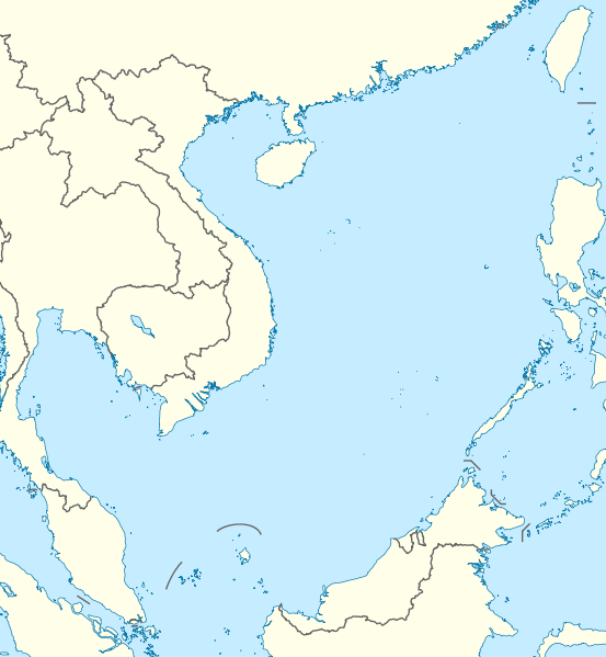
Deutsch: Positionskarte des Südchinesischen Meers
Quadratische Plattkarte, N-S-Streckung 102 %. Geographische Begrenzung der Karte:
English: Location map of the South China Sea
Equirectangular projection, N/S stretching 102 %. Geographic limits of the map:
|
|
| תאריך יצירה | ||
| מקור | own work, using World Data Base II data | |
| יוצר | NordNordWest | |
| אישורים והיתרים (שימוש חוזר בקובץ זה) |
הקובץ הזה מתפרסם לפי תנאי רישיון קריאייטיב קומונז ייחוס-שיתוף זהה 3.0 גרמניה.
 הקובץ הזה מתפרסם לפי תנאי רישיון קריאייטיב קומונז ייחוס-שיתוף זהה 3.0 לא מותאם.
|


|
This map has been made or improved in the German Kartenwerkstatt (Map Lab). You can propose maps to improve as well.
|
היסטוריית הקובץ
ניתן ללחוץ על תאריך/שעה כדי לראות את הקובץ כפי שנראה באותו זמן.
| תאריך/שעה | תמונה ממוזערת | ממדים | משתמש | הערה | |
|---|---|---|---|---|---|
| נוכחית | 18:56, 17 באוגוסט 2011 | | 1,229 × 1,134 (617 ק"ב) | NordNordWest (שיחה | תרומות) | == {{int:filedesc}} == {{Information |Description= {{de|Positionskarte des Südchinesischen Meers}} Quadratische Plattkarte, N-S-Streckung 102 %. Geographische Begrenzung der Karte: * N: 25.5° N * S: 0° N * W: 98.5° O * O: |
אין באפשרותך לדרוס את הקובץ הזה.
שימוש בקובץ
הדפים הבאים משתמשים בקובץ הזה:
שימוש גלובלי בקובץ
אתרי הוויקי השונים הבאים משתמשים בקובץ זה:
- שימוש באתר an.wikipedia.org
- שימוש באתר ar.wikipedia.org
- שימוש באתר az.wikipedia.org
- שימוש באתר ban.wikipedia.org
- שימוש באתר bcl.wikipedia.org
- שימוש באתר be.wikipedia.org
- שימוש באתר bn.wikipedia.org
- שימוש באתר ceb.wikipedia.org
- שימוש באתר de.wikipedia.org
- שימוש באתר en.wikipedia.org
- Kaohsiung
- Paracel Islands
- Spratly Islands
- Hainan
- Weizhou Island
- Pratas Island
- Natuna Regency
- Perhentian Islands
- Woody Island (South China Sea)
- Batam
- Third Taiwan Strait Crisis
- Anambas Islands Regency
- Taiping Island
- Redang Island
- Lang Tengah Island
- Scarborough Shoal
- Kapas Island
- Kalayaan, Palawan
- Trường Sa (township)
- Tenggol Island
- Thitu Island
- Bidong Island
- List of temples of the Church of Jesus Christ of Latter-day Saints by geographic region
- List of airports in Taiwan
- Tree Island, South China Sea
- Rocky Island, South China Sea
- Triton Island
- Bombay Reef
- Natuna Besar
- Sansha
- 1967 USS Forrestal fire
- Spratly Island
צפייה בשימושים גלובליים נוספים של קובץ זה.