File:Steinheim WorldWind S.jpg
Jump to navigation
Jump to search
Size of this preview: 800 × 533 pixels. Other resolutions: 320 × 213 pixels | 640 × 427 pixels.
Original file (900 × 600 pixels, file size: 114 KB, MIME type: image/jpeg)
Captions
Captions
Add a one-line explanation of what this file represents
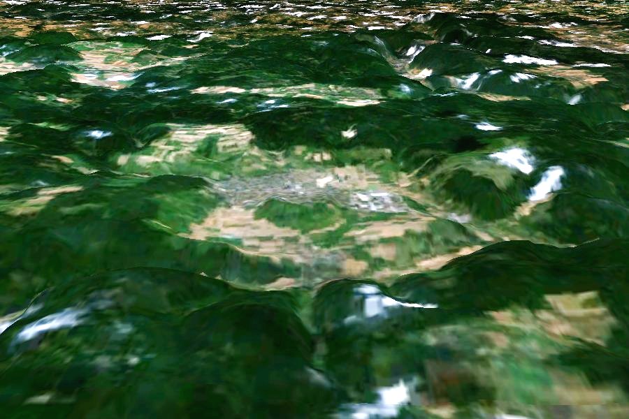
| Description |
English: Steinheim Basin, view from south. Vertical exaggeration 3x.
Deutsch: Steinheimer Becken, von Süd aus gesehen. Profil dreifach überhöht. |
| Source | Created with NASA WorldWind by User:Vesta using Landsat 7 (Visible Color) satellite image. |
| Author | User:Vesta |
48°41′12″N 10°3′54″E / 48.68667°N 10.065°E
| This image is in the public domain because it is a screenshot from NASA’s globe software World Wind using a public domain layer, such as Blue Marble, MODIS, Landsat, SRTM, USGS or GLOBE.
|
 |
File history
Click on a date/time to view the file as it appeared at that time.
| Date/Time | Thumbnail | Dimensions | User | Comment | |
|---|---|---|---|---|---|
| current | 09:41, 5 January 2006 | | 900 × 600 (114 KB) | Vesta~commonswiki (talk | contribs) |
You cannot overwrite this file.
File usage on Commons
The following 2 pages use this file:
File usage on other wikis
The following other wikis use this file:
- Usage on de.wikipedia.org
- Usage on en.wikipedia.org
- Usage on fr.wikipedia.org
- Usage on lt.wikipedia.org
- Usage on ro.wikipedia.org
- Usage on ru.wikipedia.org