File:Surrey UK locator map 2010.svg
둘러보기로 이동
검색으로 이동

SVG 파일의 PNG 형식의 미리보기 크기: 494 × 600 픽셀. 다른 해상도: 198 × 240 픽셀 | 395 × 480 픽셀 | 633 × 768 픽셀 | 843 × 1,024 픽셀 | 1,687 × 2,048 픽셀 | 1,108 × 1,345 픽셀
원본 파일 (SVG 파일, 실제 크기 1,108 × 1,345 픽셀, 파일 크기: 302 KB)
캡션
설명
이 파일이 나타내는 바에 대한 한 줄 설명을 추가합니다
파일 설명
[편집]
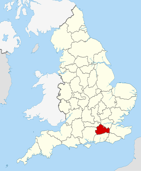
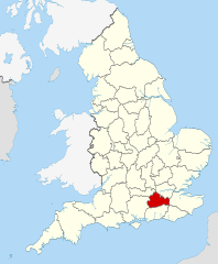
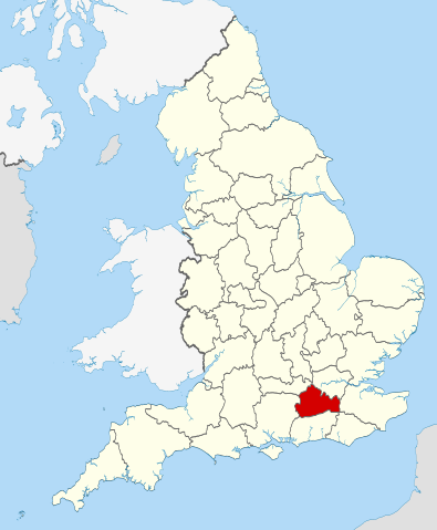
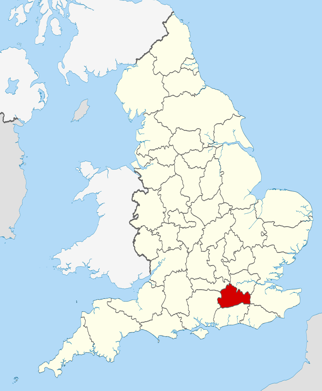
| 설명 | Location of the ceremonial county of Surrey within England. |
| 날짜 | |
| 출처 |
National Geospatial-Intelligence Agency
|
| 저자 | Nilfanion |
라이선스
[편집]
나는 아래 작품의 저작권자로서, 이 저작물을 다음과 같은 라이선스로 배포합니다:
이 파일은 크리에이티브 커먼즈 저작자표시-동일조건변경허락 3.0 Unported 라이선스로 배포됩니다.
- 이용자는 다음의 권리를 갖습니다:
- 공유 및 이용 – 저작물의 복제, 배포, 전시, 공연 및 공중송신
- 재창작 – 저작물의 개작, 수정, 2차적저작물 창작
- 다음과 같은 조건을 따라야 합니다:
- 저작자표시 – 적절한 저작자 표시를 제공하고, 라이센스에 대한 링크를 제공하고, 변경사항이 있는지를 표시해야 합니다. 당신은 합리적인 방식으로 표시할 수 있지만, 어떤 방식으로든 사용권 허가자가 당신 또는 당신의 사용을 지지하는 방식으로 표시할 수 없습니다.
- 동일조건변경허락 – 만약 당신이 이 저작물을 리믹스 또는 변형하거나 이 저작물을 기반으로 제작하는 경우, 당신은 당신의 기여물을 원저작물과 동일하거나 호환 가능한 라이선스에 따라 배포하여야 합니다.

|
GNU 자유 문서 사용 허가서 1.2판 또는 자유 소프트웨어 재단에서 발행한 이후 판의 규정에 따라 본 문서를 복제하거나 개작 및 배포할 수 있습니다. 본 문서에는 변경 불가 부분이 없으며, 앞 표지 구절과 뒷 표지 구절도 없습니다. 본 사용 허가서의 전체 내용은 GNU 자유 문서 사용 허가서 부분에 포함되어 있습니다. |
이 라이선스 중에서 목적에 맞는 것을 선택하여 사용할 수 있습니다.

|
This is one of the images forming part of the Valued image set: Locator maps of the Ceremonial counties of England on Wikimedia Commons. The image set has been assessed under the valued image set criteria and is considered the most valued set on Commons within the scope:
Locator maps of the Ceremonial counties of England
You can see its nomination at Commons:Valued image candidates/Locator maps of English ceremonial counties. |
파일 역사
날짜/시간 링크를 클릭하면 해당 시간의 파일을 볼 수 있습니다.
| 날짜/시간 | 섬네일 | 크기 | 사용자 | 설명 | |
|---|---|---|---|---|---|
| 현재 | 2010년 11월 23일 (화) 22:45 | | 1,108 × 1,345 (302 KB) | Nilfanion (토론 | 기여) | == Summary == {{Information |Description=Location of the ceremonial county of Surrey within England. |Source=Ordnance Survey [https://www.ordnancesurvey.co.uk/opendatadownload/products.html OpenData]: *County boundaries |
이 파일을 덮어쓸 수 없습니다.
이 파일을 사용하는 문서
다음 문서 33개가 이 파일을 사용하고 있습니다:
- Valued image set: Locator maps of the Ceremonial counties of England
- Commons:Valued image candidates/Locator maps of English ceremonial counties
- Category:Alumni by school in Surrey
- Category:Archaeological sites in Surrey
- Category:Births in Surrey
- Category:Bridges in Surrey
- Category:Canals in Surrey
- Category:Castles in Surrey
- Category:Cemeteries in Surrey
- Category:Deaths in Surrey
- Category:Farms in Surrey
- Category:Hospitals in Surrey
- Category:Local government in Surrey
- Category:Maps of Surrey
- Category:Meadows in Surrey
- Category:Populated places in Surrey
- Category:Rail transport in Surrey
- Category:Rivers of Surrey
- Category:Roads in Surrey
- Category:Sports in Surrey
- Category:Surrey
- Category:Surrey in the 1970s
- Category:Surrey in the 1980s
- Category:Surrey in the 1990s
- Category:Surrey in the 2000s
- Category:Surrey in the 2020s
- Category:Surrey in the 20th century
- Category:Surrey in the 21st century
- Category:Towers in Surrey
- Category:Tunnels in Surrey
- Category:Villages in Surrey
- Category:Visitor attractions in Surrey
- Category:Windmills in Surrey
이 파일을 사용하고 있는 모든 위키의 문서 목록
다음 위키에서 이 파일을 사용하고 있습니다:
- af.wikipedia.org에서 이 파일을 사용하고 있는 문서 목록
- ar.wikipedia.org에서 이 파일을 사용하고 있는 문서 목록
- arz.wikipedia.org에서 이 파일을 사용하고 있는 문서 목록
- ast.wikipedia.org에서 이 파일을 사용하고 있는 문서 목록
- azb.wikipedia.org에서 이 파일을 사용하고 있는 문서 목록
- az.wikipedia.org에서 이 파일을 사용하고 있는 문서 목록
- be-tarask.wikipedia.org에서 이 파일을 사용하고 있는 문서 목록
- be.wikipedia.org에서 이 파일을 사용하고 있는 문서 목록
- bg.wikipedia.org에서 이 파일을 사용하고 있는 문서 목록
- ca.wikipedia.org에서 이 파일을 사용하고 있는 문서 목록
- ceb.wikipedia.org에서 이 파일을 사용하고 있는 문서 목록
- cs.wikipedia.org에서 이 파일을 사용하고 있는 문서 목록
- el.wikipedia.org에서 이 파일을 사용하고 있는 문서 목록
- en.wikipedia.org에서 이 파일을 사용하고 있는 문서 목록
- Surrey
- Winkworth Arboretum
- Witley Common
- Farley Green, Surrey
- Ribsden Holt
- Template:Surrey-geo-stub
- Winterfold Forest
- The Rye (brook)
- Savill Garden
- Wey South Path
- Ramster
- Blackheath Common
- Sandhills, Surrey
- Molesey Reservoirs
- Knight Reservoir
- Woolmer Hill
- Frimley Lodge Park
- Grade I listed buildings in Surrey
- Coldharbour, Surrey
- Mogador, Surrey
- Haste Hill
- Penton Hook Marina
- Mole Gap Trail
- Rushmoor, Surrey
- Grade II* listed buildings in Surrey
- 1977 Surrey County Council election
- Template:Infobox English county/testcases
- Truss's Island
- Chitty's Common
- Milton Heath and The Nower
- eo.wikipedia.org에서 이 파일을 사용하고 있는 문서 목록
- es.wikipedia.org에서 이 파일을 사용하고 있는 문서 목록
- fa.wikipedia.org에서 이 파일을 사용하고 있는 문서 목록
이 파일의 더 많은 사용 내역을 봅니다.