File:TochigiMapCurrent.png
Jump to navigation
Jump to search

Size of this preview: 666 × 599 pixels. Other resolutions: 267 × 240 pixels | 533 × 480 pixels | 1,001 × 901 pixels.
Original file (1,001 × 901 pixels, file size: 40 KB, MIME type: image/png)
Captions
Captions
Add a one-line explanation of what this file represents
Summary[edit]
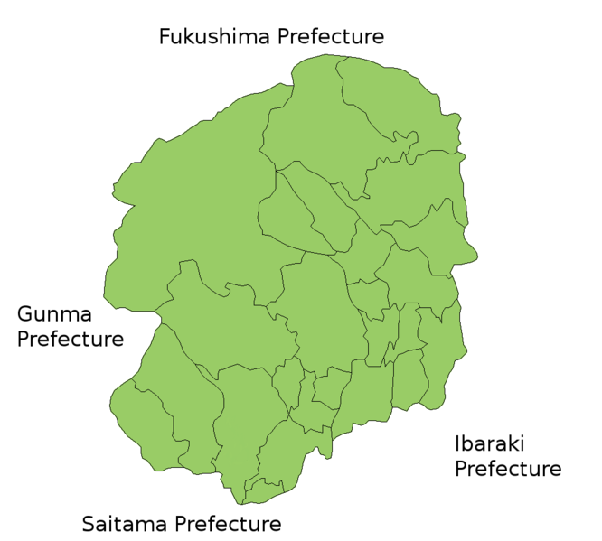
Map of Tochigi Prefecture, Japan.
Thanks to Aoki Shigenobu and [1]. Colors from Image:TokyoMapCurrent.png by User:Fg2.
Licensing[edit]

|
Shigenobu AOKI, the copyright holder of this work, allows anyone to use it for any purpose including unrestricted redistribution, commercial use, and modification.
|
File history
Click on a date/time to view the file as it appeared at that time.
| Date/Time | Thumbnail | Dimensions | User | Comment | |
|---|---|---|---|---|---|
| current | 15:54, 27 June 2015 | | 1,001 × 901 (40 KB) | Virata2 (talk | contribs) | Tochigi City absorbed the town of Iwafune in April, 2014. |
| 20:29, 30 September 2011 |  | 1,001 × 901 (31 KB) | Haaninjo (talk | contribs) | Update for mergers into Tochigi and Mo'oka | |
| 03:02, 13 June 2007 |  | 1,001 × 901 (34 KB) | Alberth2 (talk | contribs) | Kamikawachi Town and Kawachi Town have merged into Utsunomiya City. | |
| 05:02, 19 July 2006 |  | 1,001 × 901 (32 KB) | Akanemoto~commonswiki (talk | contribs) | Map of Tochigi Prefecture, Japan. Thanks to Aoki Shigenobu and [http://aoki2.si.gunma-u.ac.jp/map/map.html]. Colors from Image:TokyoMapCurrent.png by User:Fg2. Category:Maps of Tochigi prefecture Category:Maps in English |
You cannot overwrite this file.
File usage on Commons
The following page uses this file:
File usage on other wikis
The following other wikis use this file:
- Usage on az.wikipedia.org
- Usage on ckb.wikipedia.org
- Usage on cs.wikipedia.org
- Usage on fa.wikipedia.org
- Usage on lt.wikipedia.org
- Usage on no.wikipedia.org
- Usage on ru.wikipedia.org
- Usage on vi.wikipedia.org