File:US 209.svg
둘러보기로 이동
검색으로 이동

SVG 파일의 PNG 형식의 미리보기 크기: 750 × 600 픽셀. 다른 해상도: 300 × 240 픽셀 | 600 × 480 픽셀 | 960 × 768 픽셀 | 1,280 × 1,024 픽셀 | 2,560 × 2,048 픽셀
원본 파일 (SVG 파일, 실제 크기 750 × 600 픽셀, 파일 크기: 8 KB)
캡션
설명
이 파일이 나타내는 바에 대한 한 줄 설명을 추가합니다
파일 설명[편집]
| 설명 |
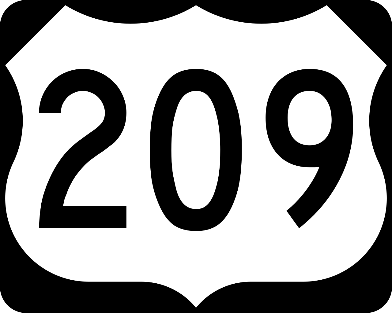
English: 750 mm × 600 mm (30 in × 24 in) U.S. Highway shield, made to the specifications of the 2004 edition of Standard Highway Signs. (Note that there is a missing "J" label on the left side of the diagram.) Uses the Roadgeek 2005 fonts. (United States law does not permit the copyrighting of typeface designs, and the fonts are meant to be copies of a U.S. Government-produced work anyway.) |
| 날짜 | (UTC) |
| 출처 | 2004 MUTCD Standard Highway Signs |
| 저자 | Fredddie, originally SPUI |
라이선스[편집]
This file is in the public domain because it comes from the Manual on Uniform Traffic Control Devices, sign number M1-4, which states specifically on page I-1 that:
|
.svg) |
파일 역사
날짜/시간 링크를 클릭하면 해당 시간의 파일을 볼 수 있습니다.
| 날짜/시간 | 섬네일 | 크기 | 사용자 | 설명 | |
|---|---|---|---|---|---|
| 현재 | 2017년 8월 26일 (토) 01:29 | | 750 × 600 (8 KB) | Fredddie (토론 | 기여) | |
| 2006년 1월 27일 (금) 07:48 |  | 750 × 600 (5 KB) | SPUI~commonswiki (토론 | 기여) | {{spuiother}} 750 mm by 600 mm (30 in by 24 in) U.S. Route shield, made to the specifications of the [http://mutcd.fhwa.dot.gov/SHSm/Guide.pdf 2004 edition of Standard Highway Signs]. (Note that there is a missing "J" label on the left side of the diagram |
이 파일을 덮어쓸 수 없습니다.
이 파일을 사용하는 문서
다음 문서 6개가 이 파일을 사용하고 있습니다:
이 파일을 사용하고 있는 모든 위키의 문서 목록
다음 위키에서 이 파일을 사용하고 있습니다:
- bg.wikipedia.org에서 이 파일을 사용하고 있는 문서 목록
- de.wikipedia.org에서 이 파일을 사용하고 있는 문서 목록
- en.wikipedia.org에서 이 파일을 사용하고 있는 문서 목록
- Interstate 80
- Schuylkill County, Pennsylvania
- Pike County, Pennsylvania
- Monroe County, Pennsylvania
- Dauphin County, Pennsylvania
- Carbon County, Pennsylvania
- List of United States Numbered Highways
- U.S. Route 206
- New York metropolitan area
- U.S. Route 6
- Interstate 84 (Pennsylvania–Massachusetts)
- Interstate 476
- Pennsylvania Route 61
- Pennsylvania Route 54
- Pennsylvania Route 309
- Pennsylvania Route 248
- Pennsylvania Route 191
- Old Mine Road
- Pennsylvania Route 611
- List of crossings of the Delaware River
- Interstate 80 in Pennsylvania
- Pennsylvania Route 115
- Pennsylvania Route 739
- User:Nyletak/New York Routes
- Wikipedia:WikiProject U.S. Roads/Redirects/Pennsylvania
- U.S. Route 6 in Pennsylvania
- Pennsylvania Route 715
- Pennsylvania Route 402
- Pennsylvania Route 901
- Pennsylvania Route 208
- Pennsylvania Route 25
- Pennsylvania Route 33
- Pennsylvania Route 93
- Wikipedia:WikiProject U.S. Roads/Redirects/New York
- Pennsylvania Route 443
- Harrisburg–Carlisle metropolitan statistical area
- Pennsylvania Route 147
- Interstate 81 in Pennsylvania
- U.S. Route 6 in New York
- List of highways numbered 209
- Pennsylvania Route 447
- List of crossings of the Neversink River
- User:Hmich176/User Page
- Mid-Delaware Bridge
- User:NE2/NY 52
이 파일의 더 많은 사용 내역을 봅니다.