File:Us canada eu 2007.png
Jump to navigation
Jump to search
No higher resolution available.
Us_canada_eu_2007.png (738 × 375 pixels, file size: 20 KB, MIME type: image/png)
Captions
Captions
Add a one-line explanation of what this file represents
Summary
[edit]
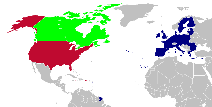
This is a map of the US, Canada and the EU for use after Romania and Bulgaria join the EU in 2007. The map is the same as en:Image:Us canada eu.png; however French Guiana and Puerto Rico have been added. This map is based off of Image:BlankMap-World-v5-EU.png.
Licensing
[edit]

|
Permission is granted to copy, distribute and/or modify this document under the terms of the GNU Free Documentation License, Version 1.2 or any later version published by the Free Software Foundation; with no Invariant Sections, no Front-Cover Texts, and no Back-Cover Texts. A copy of the license is included in the section entitled GNU Free Documentation License. |
| This file is licensed under the Creative Commons Attribution-Share Alike 3.0 Unported license. | ||
| ||
| This licensing tag was added to this file as part of the GFDL licensing update. |
| This work has been released into the public domain by its author, Hoshie. This applies worldwide. In some countries this may not be legally possible; if so: |
File history
Click on a date/time to view the file as it appeared at that time.
| Date/Time | Thumbnail | Dimensions | User | Comment | |
|---|---|---|---|---|---|
| current | 23:28, 12 April 2008 | | 738 × 375 (20 KB) | Hoshie (talk | contribs) | St. Barts and St. Martin are in the EU |
| 03:58, 6 March 2007 |  | 738 × 375 (20 KB) | Hoshie (talk | contribs) | added more details of places in and out of the EU. | |
| 20:51, 13 December 2006 |  | 703 × 363 (18 KB) | Hoshie (talk | contribs) | Fixed an island off of Alaska. under same license as original. | |
| 04:06, 18 November 2006 |  | 703 × 363 (18 KB) | Hoshie (talk | contribs) | This is a map of the US, Canada and the EU for use after Romania and Bulgaria join the EU in 2007. The map is the same as en:Image:Us canada eu.png; however French Guiana and Puerto Rico have been added. This map is based off of [[:Image:BlankMap-Wor |
You cannot overwrite this file.
File usage on Commons
The following page uses this file:
File usage on other wikis
The following other wikis use this file:
- Usage on en.wikipedia.org
- Usage on es.wikipedia.org
- Usage on uk.wikipedia.org
- Usage on zh.wikipedia.org