File:Wales Neath Port Talbot locator map.svg
둘러보기로 이동
검색으로 이동

SVG 파일의 PNG 형식의 미리보기 크기: 502 × 600 픽셀. 다른 해상도: 201 × 240 픽셀 | 402 × 480 픽셀 | 643 × 768 픽셀 | 857 × 1,024 픽셀 | 1,714 × 2,048 픽셀 | 1,047 × 1,251 픽셀
원본 파일 (SVG 파일, 실제 크기 1,047 × 1,251 픽셀, 파일 크기: 147 KB)
캡션
설명
이 파일이 나타내는 바에 대한 한 줄 설명을 추가합니다
파일 설명
[편집]
| 설명 |
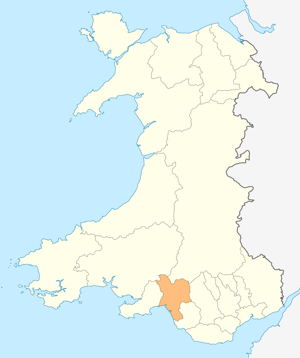
Deutsch: Lagekarte von Neath Port Talbot in Wales
English: Locator map of Neath Port Talbot in Wales |
| 날짜 | |
| 출처 | 자작 |
| 저자 | NordNordWest |
| 저작권 (이 파일을 인용하기) |
나는 아래 작품의 저작권자로서, 이 저작물을 다음과 같은 라이선스로 배포합니다: 이 파일은 크리에이티브 커먼즈 저작자표시-동일조건변경허락 3.0 Unported 라이선스로 배포됩니다.
|

|
This map has been made or improved in the German Kartenwerkstatt (Map Lab). You can propose maps to improve as well.
|
파일 역사
날짜/시간 링크를 클릭하면 해당 시간의 파일을 볼 수 있습니다.
| 날짜/시간 | 섬네일 | 크기 | 사용자 | 설명 | |
|---|---|---|---|---|---|
| 현재 | 2010년 5월 4일 (화) 18:55 | | 1,047 × 1,251 (147 KB) | NordNordWest (토론 | 기여) | {{int:filedesc}} {{Information |Description= {{de|Lagekarte von Neath Port Talbot in Wales}} {{en|Locator map of Neath Port Talbot in Wales}} |Source={{Own}} |Date=2010-05-04 |Author={{U|NordNordWest}} |Permission={{self|cc-by-sa-3.0}} |other_versions= } |
이 파일을 덮어쓸 수 없습니다.
이 파일을 사용하는 문서
다음 문서 18개가 이 파일을 사용하고 있습니다:
- Template:Neath Port Talbot year
- Category:2004 in Neath Port Talbot
- Category:2005 in Neath Port Talbot
- Category:2006 in Neath Port Talbot
- Category:2007 in Neath Port Talbot
- Category:2008 in Neath Port Talbot
- Category:2009 in Neath Port Talbot
- Category:2010 in Neath Port Talbot
- Category:2011 in Neath Port Talbot
- Category:2012 in Neath Port Talbot
- Category:2014 in Neath Port Talbot
- Category:2015 in Neath Port Talbot
- Category:2019 in Neath Port Talbot
- Category:2020 in Neath Port Talbot
- Category:2021 in Neath Port Talbot
- Category:2022 in Neath Port Talbot
- Category:2023 in Neath Port Talbot
- Category:2024 in Neath Port Talbot
이 파일을 사용하고 있는 모든 위키의 문서 목록
다음 위키에서 이 파일을 사용하고 있습니다:
- en.wikipedia.org에서 이 파일을 사용하고 있는 문서 목록
- Port Talbot
- River Afan
- Seven Sisters, Neath Port Talbot
- Neath
- Neath Port Talbot
- Briton Ferry
- Glynneath
- Pontardawe
- Aberdulais
- Aberavon
- Skewen
- River Neath
- Margam
- Baglan, Neath Port Talbot
- Abergarwed
- Abergwynfi
- Crynant
- Resolven
- Blaengwynfi
- Coedffranc
- Bryn, Neath Port Talbot
- Ystalyfera
- Neath Port Talbot County Borough Council
- Tonna, Neath
- List of places in Neath Port Talbot
- Alltwen
- Swansea Valley
- Rhiwfawr
- Bryncoch North
- Blaengwrach
- Cwmllynfell
- Baglan Bay
- Jersey Marine
- Blaenhonddan
- Tonmawr
- Cadoxton-juxta-Neath
- Nidum
- Cwmgors
- Template:NeathPortTalbot-geo-stub
- Tir Iarll
- Mynydd Drumau
- River Amman
- Goytre
- Dyffryn Cellwen
- Melincourt Falls
- Clyne, Neath Port Talbot
- Cilybebyll
- Godre'r Graig
- Lower Brynamman
- Neath Castle
이 파일의 더 많은 사용 내역을 봅니다.