File:Zhytomyr province location map.svg
Jump to navigation
Jump to search

Size of this PNG preview of this SVG file: 399 × 519 pixels. Other resolutions: 184 × 240 pixels | 369 × 480 pixels | 590 × 768 pixels | 787 × 1,024 pixels | 1,574 × 2,048 pixels.
Original file (SVG file, nominally 399 × 519 pixels, file size: 149 KB)
Captions
Captions
Add a one-line explanation of what this file represents
Summary
[edit]
| Description |
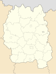
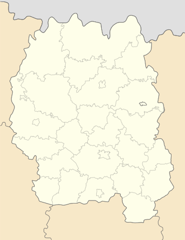
English: Location map of Zhytomyr province, Ukraine
Русский: Позиционная карта Житомирской области, Украина
Українська: Карта Житомирської області, Україна |
| Date | |
| Source | Own work |
| Author | Urutseg |
Licensing
[edit]
| I, the copyright holder of this work, release this work into the public domain. This applies worldwide. In some countries this may not be legally possible; if so: I grant anyone the right to use this work for any purpose, without any conditions, unless such conditions are required by law. |
File history
Click on a date/time to view the file as it appeared at that time.
| Date/Time | Thumbnail | Dimensions | User | Comment | |
|---|---|---|---|---|---|
| current | 08:57, 29 June 2014 | | 399 × 519 (149 KB) | קרלוס הגדול (talk | contribs) | lighter borders between provinces |
| 05:15, 21 April 2011 |  | 399 × 519 (149 KB) | Urutseg (talk | contribs) | hit me baby one more time | |
| 05:02, 21 April 2011 |  | 499 × 649 (498 KB) | Urutseg (talk | contribs) | correction | |
| 20:04, 20 April 2011 |  | 532 × 692 (148 KB) | Denat (talk | contribs) | Reverted to version as of 17:03, 2 December 2010 | |
| 20:01, 20 April 2011 |  | 499 × 649 (501 KB) | Denat (talk | contribs) | Zhytomyr, Malyn | |
| 17:03, 2 December 2010 |  | 532 × 692 (148 KB) | Urutseg (talk | contribs) |
You cannot overwrite this file.
File usage on Commons
The following page uses this file:
File usage on other wikis
The following other wikis use this file:
- Usage on azb.wikipedia.org
- Usage on bg.wikipedia.org
- Usage on cs.wikipedia.org
- Usage on de.wikipedia.org
- Usage on eo.wikipedia.org
- Ŝablono:Situo sur mapo Ukrainio Ĵitomira provinco
- Ĵitomir (stacidomo)
- Korosten (stacidomo)
- Ovruĉ (stacidomo)
- Berdiĉiv (stacidomo)
- Berdiĉiv-Ĵitomirskij (stacidomo)
- Korostiŝiv (stacidomo)
- Olevsk (stacidomo)
- Snovidoviĉi (stacidomo)
- Zvjahel-1 (stacidomo)
- Bilokoroviĉi (stacidomo)
- Novi Bilokoroviĉi (stacidomo)
- Jablunec (stacidomo)
- Radulino (stacidomo)
- Malin (stacidomo)
- Usage on es.wikipedia.org
- Usage on fa.wikipedia.org
- Usage on he.wikipedia.org
- Usage on hy.wikipedia.org
View more global usage of this file.