File:6, Interior view, looking north. - Short Pump Shell Gas Station, 11441 West Broad Street, Short Pump, Henrico County, VA HABS VA,44-SPUMP,2-6.tif
Jump to navigation
Jump to search

Size of this JPG preview of this TIF file: 744 × 600 pixels. Other resolutions: 298 × 240 pixels | 596 × 480 pixels | 953 × 768 pixels | 1,270 × 1,024 pixels | 2,541 × 2,048 pixels | 5,560 × 4,482 pixels.
Original file (5,560 × 4,482 pixels, file size: 23.77 MB, MIME type: image/tiff)
Captions
Captions
Add a one-line explanation of what this file represents
Summary[edit]
| 6, Interior view, looking north. - Short Pump Shell Gas Station, 11441 West Broad Street, Short Pump, Henrico County, VA | ||||
|---|---|---|---|---|
| Title |
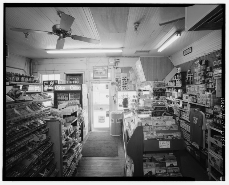
6, Interior view, looking north. - Short Pump Shell Gas Station, 11441 West Broad Street, Short Pump, Henrico County, VA |
|||
| Description |
Alfson, Mary, transmitter; Tucher, Rob, photographer; Berg, David C, historian |
|||
| Depicted place | Virginia; Henrico County; Short Pump | |||
| Date | Documentation compiled after 1933 | |||
| Dimensions | 4 x 5 in. | |||
| Current location |
Library of Congress Prints and Photographs Division Washington, D.C. 20540 USA http://hdl.loc.gov/loc.pnp/pp.print |
|||
| Accession number |
HABS VA,44-SPUMP,2-6 |
|||
| Credit line |
|
|||
| Notes |
|
|||
| Source | https://www.loc.gov/pictures/item/va1757.photos.381679p | |||
| Permission (Reusing this file) |
|
|||

| Object location | | View this and other nearby images on: OpenStreetMap |
|---|
File history
Click on a date/time to view the file as it appeared at that time.
| Date/Time | Thumbnail | Dimensions | User | Comment | |
|---|---|---|---|---|---|
| current | 12:15, 4 August 2014 |  | 5,560 × 4,482 (23.77 MB) | Fæ (talk | contribs) | GWToolset: Creating mediafile for Fæ. HABS 2014-08-02 (3401:3600) |
You cannot overwrite this file.
File usage on Commons
The following page uses this file: