File:APPROACH TO TESUQUE FROM NE Copy photograph of photogrammetric plate LC-HABS-GS01-B-1973-403. - Pueblo of Tesuque, Central Portion, Tesuque River vicinity, Tesuque, Santa Fe HABS NM,25-TESUP,1-1.tif
Jump to navigation
Jump to search
Size of this JPG preview of this TIF file: 753 × 599 pixels. Other resolutions: 302 × 240 pixels | 603 × 480 pixels | 965 × 768 pixels | 1,280 × 1,019 pixels | 2,560 × 2,037 pixels | 5,000 × 3,979 pixels.
Original file (5,000 × 3,979 pixels, file size: 18.98 MB, MIME type: image/tiff)
Captions
Captions
Add a one-line explanation of what this file represents
Summary[edit]
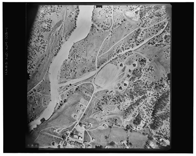
| APPROACH TO TESUQUE FROM NE Copy photograph of photogrammetric plate LC-HABS-GS01-B-1973-403. - Pueblo of Tesuque, Central Portion, Tesuque River vicinity, Tesuque, Santa Fe County, NM | ||||
|---|---|---|---|---|
| Photographer |
Borchers, Perry E. Related names:
|
|||
| Title |
APPROACH TO TESUQUE FROM NE Copy photograph of photogrammetric plate LC-HABS-GS01-B-1973-403. - Pueblo of Tesuque, Central Portion, Tesuque River vicinity, Tesuque, Santa Fe County, NM |
|||
| Depicted place | New Mexico; Santa Fe County; Tesuque | |||
| Date | 1973 | |||
| Dimensions | 8 x 10 in. | |||
| Current location |
Library of Congress Prints and Photographs Division Washington, D.C. 20540 USA http://hdl.loc.gov/loc.pnp/pp.print |
|||
| Accession number |
HABS NM,25-TESUP,1-1 |
|||
| Credit line |
|
|||
| Notes |
|
|||
| References |
|
|||
| Source | https://www.loc.gov/pictures/item/nm0100.photos.113882p | |||
| Permission (Reusing this file) |
|
|||

| Object location | | View this and other nearby images on: OpenStreetMap |
|---|
File history
Click on a date/time to view the file as it appeared at that time.
| Date/Time | Thumbnail | Dimensions | User | Comment | |
|---|---|---|---|---|---|
| current | 22:50, 28 July 2014 |  | 5,000 × 3,979 (18.98 MB) | Fæ (talk | contribs) | GWToolset: Creating mediafile for Fæ. HABS 24 July 2014 (2301:2600) |
You cannot overwrite this file.
File usage on Commons
The following page uses this file: