File:A large draught of the Downes shewing the sands shoales depths of water and anchorage with all the leading marks to avoid the dangers therein surveyed by Capt. Wm. Nunn RMG F0244.tiff
Jump to navigation
Jump to search

Size of this JPG preview of this TIF file: 764 × 599 pixels. Other resolutions: 306 × 240 pixels | 612 × 480 pixels | 979 × 768 pixels | 1,280 × 1,004 pixels | 2,560 × 2,008 pixels | 6,766 × 5,308 pixels.
Original file (6,766 × 5,308 pixels, file size: 102.75 MB, MIME type: image/tiff)
Captions
Captions
Add a one-line explanation of what this file represents
Summary[edit]
| Author |
Mount & Page; William Nunn |
| Description |
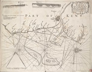
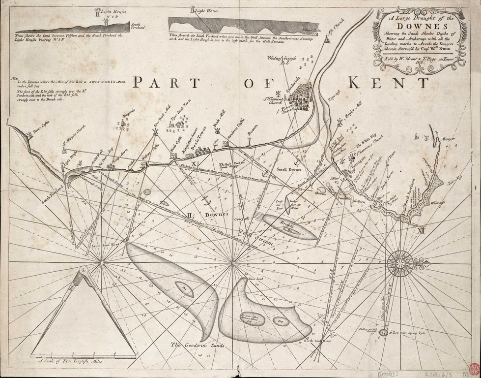
English: A large draught of the Downes shewing the sands shoales depths of water and anchorage with all the leading marks to avoid the dangers therein surveyed by Capt. Wm. NunnSingle sheet, engraving. Scale [circa 1:63,360 (bar)]. Scale in English miles. North is at 90 degrees. This ungraduated chart with rhumb lines shows leading marks to Sandwich, Deal and Ramsgate. It contains two coastal elevations and pictorial representations of landmarks. The scale bar is decorated with a pair of dividers. G218:6/3 Downs |
| Date | circa 1750 |
| Dimensions | Printed area 43 x 55.5cm, on sheet 45 x 57cm. |
| Notes | Exhibition Note: On loan to Deal and Walmer Local History Society June to September 1966. |
| Source/Photographer | http://collections.rmg.co.uk/collections/objects/540259 |
| Permission (Reusing this file) |
The original artefact or artwork has been assessed as public domain by age, and faithful reproductions of the two dimensional work are also public domain. No permission is required for reuse for any purpose. The text of this image record has been derived from the Royal Museums Greenwich catalogue and image metadata. Individual data and facts such as date, author and title are not copyrightable, but reuse of longer descriptive text from the catalogue may not be considered fair use. Reuse of the text must be attributed to the "National Maritime Museum, Greenwich, London" and a Creative Commons CC-BY-NC-SA-3.0 license may apply if not rewritten. Refer to Royal Museums Greenwich copyright. |
| Identifier | id number: G218:6/3(1) |
| Collection | Charts and maps |
Licensing[edit]
|
This is a faithful photographic reproduction of a two-dimensional, public domain work of art. The work of art itself is in the public domain for the following reason:
The official position taken by the Wikimedia Foundation is that "faithful reproductions of two-dimensional public domain works of art are public domain".
This photographic reproduction is therefore also considered to be in the public domain in the United States. In other jurisdictions, re-use of this content may be restricted; see Reuse of PD-Art photographs for details. | ||||
File history
Click on a date/time to view the file as it appeared at that time.
| Date/Time | Thumbnail | Dimensions | User | Comment | |
|---|---|---|---|---|---|
| current | 03:16, 17 August 2017 |  | 6,766 × 5,308 (102.75 MB) | Fæ (talk | contribs) | Royal Museums Greenwich Charts and maps, http://collections.rmg.co.uk/collections/objects/540259 |
You cannot overwrite this file.
File usage on Commons
The following page uses this file: