File:August 1968 SPINNING MILL, SOUTH PORTION, WEST FACADE, VIEW LOOKING EAST - Charlton Mill, Howe and Crawford Streets, Fall River, Bristol County, MA HABS MASS,3-FALL,8-8.tif
Jump to navigation
Jump to search
Size of this JPG preview of this TIF file: 800 × 566 pixels. Other resolutions: 320 × 226 pixels | 640 × 453 pixels | 1,024 × 725 pixels | 1,280 × 906 pixels | 2,560 × 1,812 pixels | 5,000 × 3,539 pixels.
Original file (5,000 × 3,539 pixels, file size: 16.88 MB, MIME type: image/tiff)
Captions
Captions
Add a one-line explanation of what this file represents
Summary[edit]
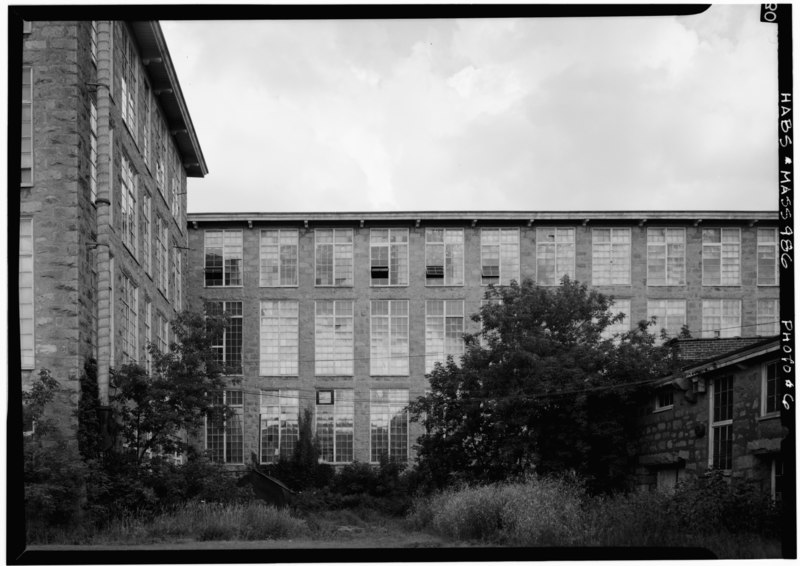
| August 1968 SPINNING MILL, SOUTH PORTION, WEST FACADE, VIEW LOOKING EAST - Charlton Mill, Howe and Crawford Streets, Fall River, Bristol County, MA | ||||
|---|---|---|---|---|
| Photographer |
Boucher, Jack E. |
|||
| Title |
August 1968 SPINNING MILL, SOUTH PORTION, WEST FACADE, VIEW LOOKING EAST - Charlton Mill, Howe and Crawford Streets, Fall River, Bristol County, MA |
|||
| Description |
Henry, W T |
|||
| Depicted place | Massachusetts; Bristol County; Fall River | |||
| Date | Documentation compiled after 1933 | |||
| Dimensions | 5 x 7 in. | |||
| Current location |
Library of Congress Prints and Photographs Division Washington, D.C. 20540 USA http://hdl.loc.gov/loc.pnp/pp.print |
|||
| Accession number |
HABS MASS,3-FALL,8-8 |
|||
| Credit line |
|
|||
| Notes |
|
|||
| Source | https://www.loc.gov/pictures/item/ma0123.photos.077930p | |||
| Permission (Reusing this file) |
|
|||

| Object location | | View this and other nearby images on: OpenStreetMap |
|---|
File history
Click on a date/time to view the file as it appeared at that time.
| Date/Time | Thumbnail | Dimensions | User | Comment | |
|---|---|---|---|---|---|
| current | 04:08, 20 July 2014 |  | 5,000 × 3,539 (16.88 MB) | Fæ (talk | contribs) | GWToolset: Creating mediafile for Fæ. HABS 20 July 2014 (1401:1600) |
You cannot overwrite this file.
File usage on Commons
The following page uses this file: