File:BURLINGTON DITCH Flowing in fields in the vicinity of East 120th Avenue and Bromley Lane, near its proposed intersection with the E-470 roadway - Burlington Ditch, South Platte HAER COLO,1-BRIG.V,3-8.tif
Jump to navigation
Jump to search
Size of this JPG preview of this TIF file: 750 × 599 pixels. Other resolutions: 300 × 240 pixels | 601 × 480 pixels | 961 × 768 pixels | 1,280 × 1,023 pixels | 2,560 × 2,046 pixels | 5,068 × 4,051 pixels.
Original file (5,068 × 4,051 pixels, file size: 19.58 MB, MIME type: image/tiff)
Captions
Captions
Add a one-line explanation of what this file represents
Summary
[edit]| Title |
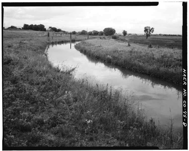
BURLINGTON DITCH Flowing in fields in the vicinity of East 120th Avenue and Bromley Lane, near its proposed intersection with the E-470 roadway - Burlington Ditch, South Platte River Drainage Area, Water District No. 2, Division No. 1, Brighton, Adams County, CO |
|||
| Depicted place | Colorado; Adams County; Brighton | |||
| Date | Documentation compiled after 1968 | |||
| Dimensions | height: 4 in (10.1 cm); width: 5 in (12.7 cm) | |||
| Current location |
Library of Congress Prints and Photographs Division Washington, D.C. 20540 USA http://hdl.loc.gov/loc.pnp/pp.print |
|||
| Accession number |
HAER COLO,1-BRIG.V,3-8 |
|||
| Credit line |
|
|||
| Notes |
|
|||
| Source | https://www.loc.gov/pictures/item/co0207.photos.020629p | |||
| Permission (Reusing this file) |
|

| Object location | | View this and other nearby images on: OpenStreetMap |
|---|
File history
Click on a date/time to view the file as it appeared at that time.
| Date/Time | Thumbnail | Dimensions | User | Comment | |
|---|---|---|---|---|---|
| current | 18:16, 8 July 2014 |  | 5,068 × 4,051 (19.58 MB) | Fæ (talk | contribs) | GWToolset: Creating mediafile for Fæ. HABS 05 July 2014 (501:600) |
You cannot overwrite this file.
File usage on Commons
The following page uses this file: