File:CLOSE-IN DETAIL VIEW FROM NORTHEAST - Gospel Street Bridge, South Gospel Street, spanning Lick Creek, Paoli, Orange County, IN HAER IND,59-PAOL,2-6.tif
Jump to navigation
Jump to search
Size of this JPG preview of this TIF file: 428 × 599 pixels. Other resolutions: 171 × 240 pixels | 343 × 480 pixels | 548 × 768 pixels | 731 × 1,024 pixels | 1,463 × 2,048 pixels | 3,812 × 5,337 pixels.
Original file (3,812 × 5,337 pixels, file size: 19.4 MB, MIME type: image/tiff)
Captions
Captions
Add a one-line explanation of what this file represents
Summary[edit]
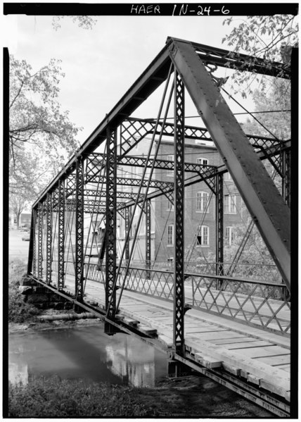
| CLOSE-IN DETAIL VIEW FROM NORTHEAST - Gospel Street Bridge, South Gospel Street, spanning Lick Creek, Paoli, Orange County, IN | ||||
|---|---|---|---|---|
| Title |
CLOSE-IN DETAIL VIEW FROM NORTHEAST - Gospel Street Bridge, South Gospel Street, spanning Lick Creek, Paoli, Orange County, IN |
|||
| Description |
Boucher, Jack E; Jackson, Donald; Wheeler, Lucy Pope |
|||
| Depicted place | Indiana; Orange County; Paoli | |||
| Date | Documentation compiled after 1968 | |||
| Dimensions | 5 x 7 in. | |||
| Current location |
Library of Congress Prints and Photographs Division Washington, D.C. 20540 USA http://hdl.loc.gov/loc.pnp/pp.print |
|||
| Accession number |
HAER IND,59-PAOL,2-6 |
|||
| Credit line |
|
|||
| Notes |
|
|||
| Source | https://www.loc.gov/pictures/item/in0105.photos.065554p | |||
| Permission (Reusing this file) |
|
|||

| Object location | | View this and other nearby images on: OpenStreetMap |
|---|
File history
Click on a date/time to view the file as it appeared at that time.
| Date/Time | Thumbnail | Dimensions | User | Comment | |
|---|---|---|---|---|---|
| current | 02:26, 18 July 2014 |  | 3,812 × 5,337 (19.4 MB) | Fæ (talk | contribs) | GWToolset: Creating mediafile for Fæ. HABS 16 July 2014 (1201:1400) |
You cannot overwrite this file.
File usage on Commons
The following page uses this file: