File:CONSTRUCTION OF MOON LAKE DAM, ca. 1934 - High Mountain Dams in Upalco Unit, Twin Pots Dam, Ashley National Forest, 10.1 miles North of Mountain Home, Mountain Home, Duchesne HAER UTAH,7-MOHO.V,1-M-15.tif
Jump to navigation
Jump to search

Size of this JPG preview of this TIF file: 509 × 599 pixels. Other resolutions: 204 × 240 pixels | 408 × 480 pixels | 653 × 768 pixels | 870 × 1,024 pixels | 1,740 × 2,048 pixels | 4,133 × 4,864 pixels.
Original file (4,133 × 4,864 pixels, file size: 19.17 MB, MIME type: image/tiff)
Captions
Captions
Add a one-line explanation of what this file represents
Summary[edit]
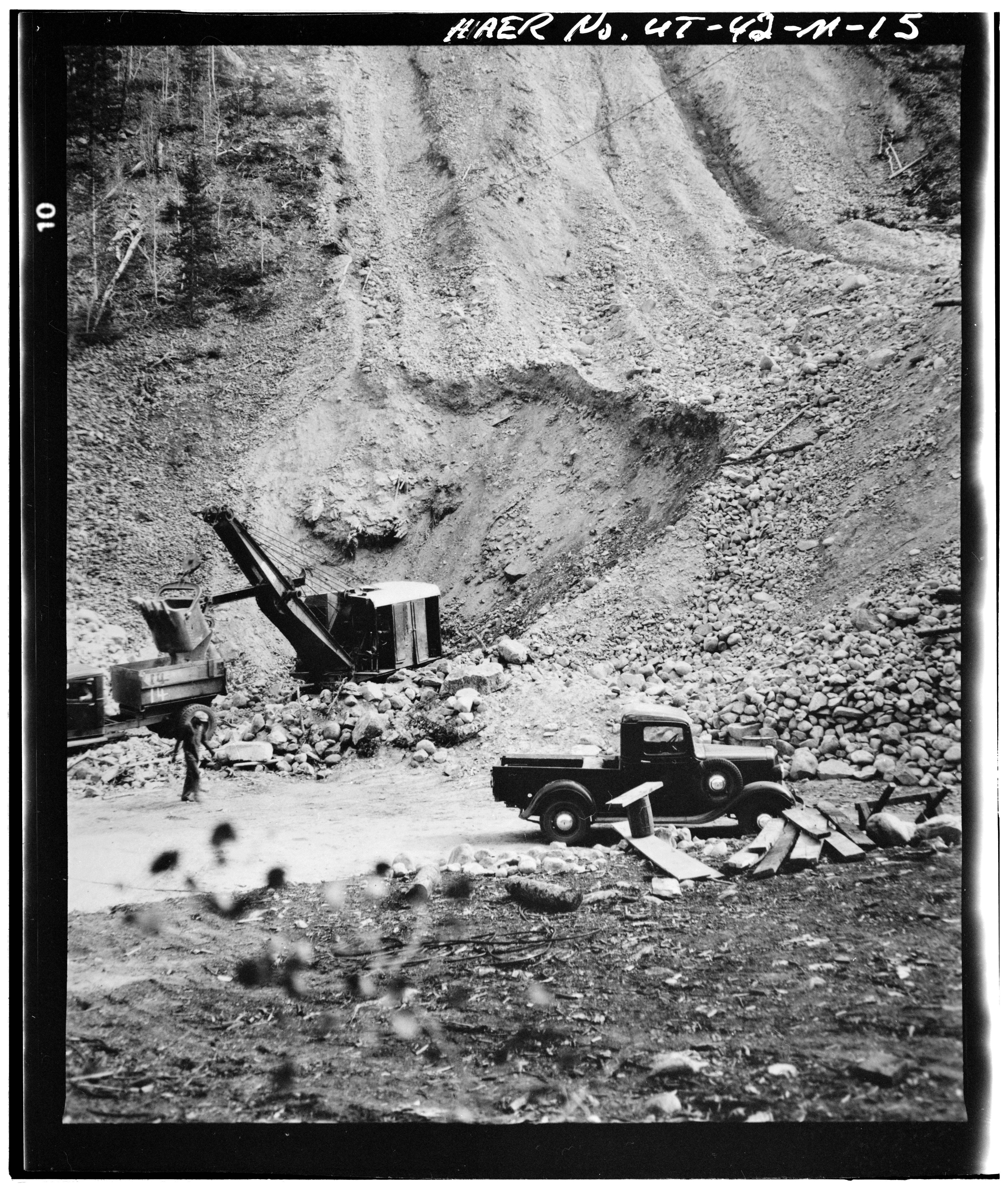
| CONSTRUCTION OF MOON LAKE DAM, ca. 1934 - High Mountain Dams in Upalco Unit, Twin Pots Dam, Ashley National Forest, 10.1 miles North of Mountain Home, Mountain Home, Duchesne County, UT | ||||
|---|---|---|---|---|
| Title |
CONSTRUCTION OF MOON LAKE DAM, ca. 1934 - High Mountain Dams in Upalco Unit, Twin Pots Dam, Ashley National Forest, 10.1 miles North of Mountain Home, Mountain Home, Duchesne County, UT |
|||
| Description |
Farnsworth Canal and Reservoir Company; U.S. Bureau of Indian Affairs |
|||
| Depicted place | Utah; Duchesne County; Mountain Home | |||
| Date | Documentation compiled after 1968 | |||
| Dimensions | 2.25 x 2.25 in. | |||
| Current location |
Library of Congress Prints and Photographs Division Washington, D.C. 20540 USA http://hdl.loc.gov/loc.pnp/pp.print |
|||
| Accession number |
HAER UTAH,7-MOHO.V,1-M-15 |
|||
| Credit line |
|
|||
| Notes |
|
|||
| Source | https://www.loc.gov/pictures/item/ut0346.photos.159553p | |||
| Permission (Reusing this file) |
|
|||

File history
Click on a date/time to view the file as it appeared at that time.
| Date/Time | Thumbnail | Dimensions | User | Comment | |
|---|---|---|---|---|---|
| current | 01:50, 4 August 2014 |  | 4,133 × 4,864 (19.17 MB) | Fæ (talk | contribs) | GWToolset: Creating mediafile for Fæ. HABS 2014-08-02 (3401:3600) |
You cannot overwrite this file.
File usage on Commons
The following page uses this file: