File:California US Congressional District 26 (since 2013)a.tif
Jump to navigation
Jump to search
Size of this PNG preview of this TIF file: 628 × 600 pixels. Other resolutions: 251 × 240 pixels | 503 × 480 pixels | 804 × 768 pixels | 1,045 × 998 pixels.
Original file (1,045 × 998 pixels, file size: 1.34 MB, MIME type: image/tiff)
Captions
Captions
Add a one-line explanation of what this file represents
Summary[edit]
| Description |
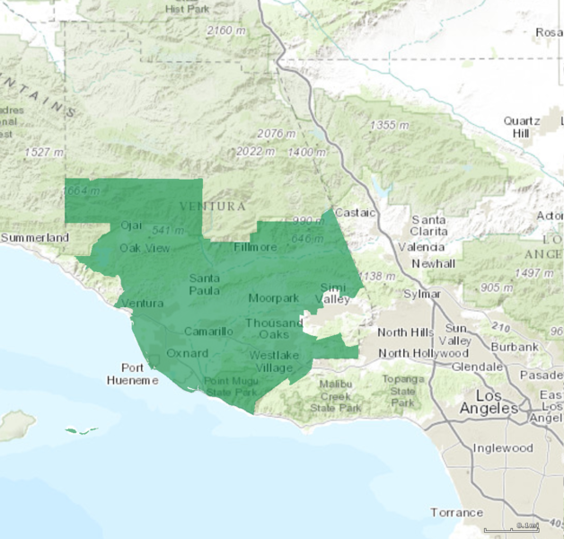
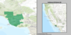
English: Boundaries for California's 26th US Federal Congressional District. |
| Date | |
| Source | GIS shapefile data created by the United States Department of the Interior, as part of the "1 Million Scale" geospatial data project. Retrieved from: http://nationalatlas.gov/atlasftp-1m.html?openChapters=#chpbound |
| Author | 1: GIS (congressional districts, 2013) shapefile data was created by the United States Department of the Interior. 2: Data was rendered using ArcGIS® software by Esri. 3: File developed for use on Wikipedia and elsewhere by 7partparadigm. |
| Other versions |
Licensing[edit]
This map was obtained from an edition of the National Atlas of the United States. Like almost all works of the U.S. federal government, works from the National Atlas are in the public domain in the United States.
Online access: NationalAtlas.gov | 1970 print edition: Library of Congress, Perry-Castañeda Library
|
File history
Click on a date/time to view the file as it appeared at that time.
| Date/Time | Thumbnail | Dimensions | User | Comment | |
|---|---|---|---|---|---|
| current | 17:36, 23 January 2020 |  | 1,045 × 998 (1.34 MB) | User-duck (talk | contribs) | File:California US Congressional District 26 (since 2013).tif cropped 48 % horizontally using CropTool with precise mode. |
You cannot overwrite this file.
File usage on Commons
The following 3 pages use this file: