File:Clavdii Ptholemei Alexandrini philosophi Cosmographia WDL10664.pdf
Jump to navigation
Jump to search
Size of this JPG preview of this PDF file: 455 × 599 pixels. Other resolutions: 182 × 240 pixels | 364 × 480 pixels | 583 × 768 pixels | 778 × 1,024 pixels | 2,133 × 2,808 pixels.
Original file (2,133 × 2,808 pixels, file size: 145.22 MB, MIME type: application/pdf, 228 pages)
Captions
Captions
Add a one-line explanation of what this file represents
Summary[edit]
| Author |
Русский: Птолемей (II век)
Français : Ptolémée (IIe siècle)
English: Ptolemy, 2nd century
中文:托勒密 (2 世纪)
Português: Ptolomeu (Século II)
العربية: بطليموس (القرن الثاني)
Español: Ptolomeo (siglo II)
|
||||||||||||||||||||||
| Title |
Русский: География
Français : Géographie
English: The Rome Ptolemy: the first printing of Ptolemy's Geography in Rome.
中文:地理学
Português: Geografia
العربية: الجغرافيا
Español: Geografía |
||||||||||||||||||||||
| Description |
Русский: Клавдий Птолемей (около 100—около 170 гг.), известный как Птолемей, был астрономом, математиком и географом греческого происхождения, который жил и работал в египетском городе Александрии. В своей "Географии" Птолемей собрал все географические знания греко-римского мира. Он использовал систему координат, чтобы отметить ширину и долготу около для 8000 мест на карте, включавшей весь мир в период рассцвета Римской Империи. Работа Птолемея не была известна в Европе во времена Средневековья, но около 1300 г. византийские ученые познакомили Италию с копиями этих карт и описаниями. В 1406 г. итальянец Джакопо д'Анжело перевел оригинал на латинский язык. Первое печатное издание появилось в Риме в 1477 г., а год спустя последовало издание, представленное здесь и содержащее некоторые из ранних и наиболее изящных отпечатанных медных гравюр. Гравюры начали производиться в Риме немцем Конрадом Свейнхеймом, который вместе со своим и партнером Арнольдом Паннарцем основал первую итальянскую типографию в Субиако в 1465 г. Свейнхейм умер в 1477 г., поэтому гравюры и издание были завершены Арнольдом Букинком. Работа содержит 27 карт, каждая из которых отпечатана на двух отдельных обращенных друг к другу листах. "География" Птолемея включала значительные неточности, приписываемые частично непониманию им истинных размеров Земли, которую он представлял меньше, чем она есть. Одним из следствий этого неправильного расчета была недооценка Колумбом времени, за которое, как он думал, можно достичь Азии, плывя в западном направлении. Европейские исследователи постепенно дополняли и исправляли карты Птолемея, но методы древнего географа продолжают иметь значение, так как легли в основу современной картографической практики.
Картография; География, древняя Français : Astronome, mathématicien et géographe d'origine grecque, Claudius Ptolemaeus (100–170 env.), communément appelé Ptolémée, vécut et travailla dans la ville égyptienne d'Alexandrie. Dans son œuvre intitulée Géographie, Ptolémée compila l'ensemble des connaissances géographiques du monde gréco-romain. Il utilisa un système de quadrillage pour tracer les latitudes et les longitudes de près de 8 000 lieux sur une carte du monde tel qu'il était connu à l'apogée de l'Empire romain. Cet ouvrage de Ptolémée était inconnu en Europe au Moyen Âge, mais en 1300 environ, les érudits byzantins commencèrent à introduire des exemplaires de ses cartes et écrits en Italie. En 1406, l'Italien Jacob d'Angelo traduisit l'œuvre originale en latin. La première édition imprimée parut à Rome en 1477. Publiée un an plus tard, l'édition présentée ici contient quelques-unes des gravures sur cuivre les plus anciennes et les plus raffinées. Ces gravures furent commencées à Rome par l'Allemand Konrad Sweynheym, qui, avec l'aide de son associé Arnold Pannartz, fonda la première imprimerie italienne à Subiaco en 1465. Après la mort de Sweynheym en 1477, Arnold Buckinck termina les gravures et publia l'ouvrage. Ce dernier contient 27 cartes, dont chacune d'entre elles est imprimée sur deux feuillets distincts se faisant face. Géographie de Ptolémée comportait des inexactitudes importantes, en partie attribuables à son calcul erroné de la taille de la Terre qu'il sous-évalua. En conséquence de cette erreur d'appréciation, Christophe Colomb sous-estima la durée du voyage avant d'atteindre ce qu'il pensait être l'Asie en naviguant vers l'ouest. Peu à peu, les explorateurs européens complétèrent et corrigèrent les cartes de Ptolémée, mais les méthodes des anciens géographes continuèrent de jouer un rôle essentiel dans le fondement de la pratique de la cartographie moderne.
Cartographie; Géographie antique English: Claudius Ptolemaeus (circa 100–circa 170), known as Ptolemy, was an astronomer, mathematician, and geographer of Greek descent who lived and worked in the Egyptian city of Alexandria. In his Geography, Ptolemy gathered all the geographic knowledge possessed by the Greco-Roman world. He used a system of grid lines to plot the latitude and longitude of some 8,000 places on a map that encompassed the known world at the height of the Roman Empire. Ptolemy’s work was lost to Europe in the Middle Ages, but around 1300 Byzantine scholars began introducing copies of his maps and writings into Italy. In 1406, the Italian Jacopo Angeli translated the Greek original into Latin. The first printed edition with maps appeared in Bolonia in 1477, followed a year later by the edition presented here, which contains some of the earliest and finest printed copper engravings. The engravings were begun in Rome by the German Konrad Sweynheym, who, with his partner Arnold Pannartz, founded the first Italian press at Subiaco in 1465. Sweynheym died in 1477, and the engravings and the publication were completed by Arnold Buckinck. The work contains 27 maps, each printed on two separate, facing leaves. Ptolemy’s Geography included major inaccuracies, attributable in part to his miscalculating the size of the Earth, which he believed was smaller than it is. One effect of this miscalculation was to cause Columbus to underestimate the time it would take to reach what he thought was Asia by sailing westward. European explorers gradually completed and corrected Ptolemy’s maps, but the ancient geographer’s methods remained important as a basis for modern cartographic practice.
Cartography; Geography, Ancient 中文:克罗狄斯·托勒密斯(Claudius Ptolemaeus,约公元 100 年 - 约 170 年)又称托勒密 (Ptolemy),是一位天文学家、数学家和地理学家,具有希腊血统,在埃及城市亚历山大生活和工作。在他的《地理学》一书中,托勒密汇集了当时希腊罗马世界的所有地理知识。他采用栅格线系统表示经度和纬度,在地图上标出了包含当时全盛罗马帝国已知的世界上约 8000 处地理位置。托勒密的作品并未为中世纪的欧洲所认识,但 1300 年左右,拜占庭的学者们开始将他的地图和文字作品引入到意大利。1406 年,意大利人雅格布·德安格罗 (Jacopo d’Angelo) 将他的原作译成拉丁文。1477 年,托勒密的第一部印刷版作品出现在罗马,一年后,此处展示的版本面世,这个版本中包含了一些最早和最优秀的铜版印刷作品。这些版画最初由德国人康拉德·斯维赫伊姆 (Konrad Sweynheym) 在罗马制作,他与他的伙伴阿诺德·潘纳尔兹 (Arnold Pannartz) 一起,于 1465 年在萨伯卡创办了第一家意大利出版社。斯维赫伊姆在 1477 年去世。这些版画后来由阿诺德·布克金可 (Arnold Buckinck) 完成并出版。此书包含 27 幅地图,每幅均印刷在两张单独的对面页上。托勒密的《地理学》中包含一些较大的错误,部分原因是他错估了地球的大小。他想象中的地球小于其实际大小。此错误的后果之一是导致哥伦布向西航行时低估了到达自己眼中的亚洲的时间。后来,欧洲的探险家们逐步完善和修正了托勒密的地图,但这位古地理学家的制图方法仍然是现代制图实践的重要基础。
制图; 地理学,古代 Português: Cláudio Ptolomeu (100-170, aproximadamente), conhecido como Ptolomeu, foi um astrônomo, matemático e geógrafo de ascendência grega que viveu e trabalhou na cidade de Alexandria, no Egito. Em seu livro Geografia, Ptolomeu reuniu todo o conhecimento geográfico possuído pelo mundo greco-romano. Ele utilizou um sistema de linhas de grade para traçar a latitude e longitude de aproximadamente 8.000 locais no mapa que englobava o mundo conhecido no auge do Império Romano. O trabalho de Ptolomeu era desconhecido para a Europa na Idade Média, mas por volta de 1300, estudiosos bizantinos começaram a introduzir cópias de seus mapas e textos na Itália. Em 1406, o italiano Jacopo d’Angelo traduziu o original para o latim. A primeira edição impressa surgiu em Roma em 1477, seguida um ano depois pela edição apresentada aqui, que contém algumas das primeiras e mais finas gravações em cobre impressas. As gravuras começaram em Roma com o alemão Konrad Sweynheym, que, com seu parceiro Arnold Pannartz, fundou a primeira imprensa italiana em Subiaco em1465. Sweynheym faleceu em 1477, e as gravuras e a publicação foram concluídas por Arnold Buckinck. A obra contém 27 mapas, cada um impresso em duas folhas separadas lado a lado. A obra Geografia de Ptolomeu continha grandes erros, atribuíveis em parte a seus cálculos errados com relação ao tamanho da Terra, que ele acreditava ser menor do que é. Um efeito de seu cálculo errado foi fazer com que Colombo subestimasse o tempo que levaria para chegar ao que ele acreditava ser a Ásia navegando na direção oeste. Exploradores europeus preencheram gradativamente e corrigiram os mapas de Ptolomeu, mas os métodos do antigo geógrafo continuaram sendo importantes como base para a prática cartográfica moderna.
Cartografia; Geografia, antiga العربية: كان كلاوديوس بتوليمايوس (حوالي 100-حوالي 170)، المعروف باسم بطليموس، عالم فلك ورياضيات وجغرافيًا من أصل يوناني عاش وعمل بمدينة الإسكندرية بمصر. قام بطليموس بجمع كافة المعارف الجغرافية التي كانت متاحة في العالم اليوناني-الروماني في كتابه الجغرافيا. واستخدم نظام الخطوط المتقاطعة لرسم خطوط الطول والعرض لنحو 8000 موقعًا على خريطة شملت العالم المعروف حين كانت الإمبراطورية الرومانية في أوج ازدهارها. كانت أعمال بطليموس مجهولة في أوروبا إبان العصور الوسطى، إلا أنه بدأ نحو 1300 من الباحثين البيزنطيين بتقديم نُسَخ من خرائطه وكتاباته إلى إيطاليا. في عام 1406، قام جاكوبو دانجيلو الإيطالي بترجمة النص الأصلي إلى اللغة اللاتينية. ظهرت أول نُسخة مطبوعة في روما عام 1477، وبعد عام صدرت الطبعة المعروضة هنا والتي تحتوي على بعض أقدم وأروع النقوش النحاسية المطبوعة. بدأ كونراد سفينيم الألماني العمل على النقوش في روما، وهو مؤسس أول مطبعة إيطالية في سوبياكو عام 1465 بمعاونة شريكه أرنولد بانارتز. تُوفي سفينيم عام 1477، وقام أرنولد بوكينك بإتمام النقوش ونَشر العمل. يحتوي العمل على 27 خريطة طُبِع كل منها على صفحتين منفصلتين متقابلتين. تضمن كتاب الجغرافيا لبطليموس أخطاءً فادحةً تُعزى جزئيًا إلى سوء تقديره لحجم الكرة الأرضية، حيث حَسَب لها حجمًا أصغر من حجمها الحقيقي. ومن آثار خطأ الحساب هذا أنه دفع كولومبوس لإساءة تقدير الزمن المستغرق للوصول إلى ما كان يظنه آسيا بالإبحار غربًا. قام المستكشفون الأوروبيون باستكمال وتصحيح خرائط بطليموس تدريجيًا، إلا أن أساليب الجغرافيين القدامى ظلت ضرورية باعتبارها أساس لممارسة رسم الخرائط الحديثة.
رسم الخرائط; الجغرافيا القديمة Español: Claudio Ptolomeo (circa 100–circa 170), conocido como Tolomeo, fue un astrónomo, matemático y geógrafo de origen griego que vivió y trabajó en la ciudad egipcia de Alejandría. En su Geografía, Tolomeo reunió todo el conocimiento geográfico disponible en el mundo greco-romano. Utilizó un sistema de líneas de la cuadrícula para representar la latitud y longitud de unos 8000 lugares en un mapa que abarcaba el mundo conocido en el apogeo del Imperio romano. La obra de Tolomeo era desconocida en Europa en la Edad Media, pero, alrededor de 1300, los eruditos bizantinos comenzaron a introducir copias de sus mapas y escritos en Italia. En 1406, el italiano Jacopo Angeli tradujo el original griego al latín. La primera edición impresa con mapas apareció en Bolonia en 1477 seguida, un año después, por la edición que aquí se presenta, que contiene algunos de los primeros y más finos grabados en cobre. El alemán Konrad Sweynheym comenzó a hacer los grabados en Roma; él y su compañero, Arnold Pannartz, fundaron la primera imprenta italiana en Subiaco en 1465. Sweynheym murió en 1477. Arnold Buckinck terminó los grabados y se encargó de la publicación. La obra contiene 27 mapas, cada uno impreso en dos hojas separadas, que se enfrentan. La Geografía de Tolomeo tiene datos inexactos serios, atribuibles en parte al error en el cálculo del tamaño de la Tierra, que él creía más pequeña de lo que es. Como resultado de este error de cálculo Colón subestimó el tiempo que tardaría en navegar en dirección Oeste hasta llegar a lo que él creía que era Asia. Gradualmente los exploradores europeos fueron completando y corrigiendo los mapas de Tolomeo, pero los métodos del antiguo geógrafo continuaron siendo una importante base para la práctica cartográfica moderna.
Cartografía; Geografía, antigua |
||||||||||||||||||||||
| Date | 1478 | ||||||||||||||||||||||
| Medium |
Русский: Карты
Français : Cartes
English: Maps
中文:地图
Português: Mapas
العربية: خرائط
Español: Mapas |
||||||||||||||||||||||
| Dimensions |
English: 69 leaves, with 27 leaves of engraved maps |
||||||||||||||||||||||
| Collection |
Русский: Библиотека Неаполитанского университета
Français : Bibliothèque universitaire de Naples
English: University Library of Naples
中文:那不勒斯大学图书馆
Português: Biblioteca Universitária de Nápoles
العربية: المكتـبة الجامعية بنابولي
Español: Biblioteca de la Universidad de Nápoles |
||||||||||||||||||||||
| Place of creation |
Русский: Мир
Français : Monde
English: World
中文:世界
Português: Mundo
العربية: العالم
Español: Mundo |
||||||||||||||||||||||
| Notes |
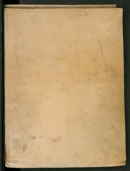
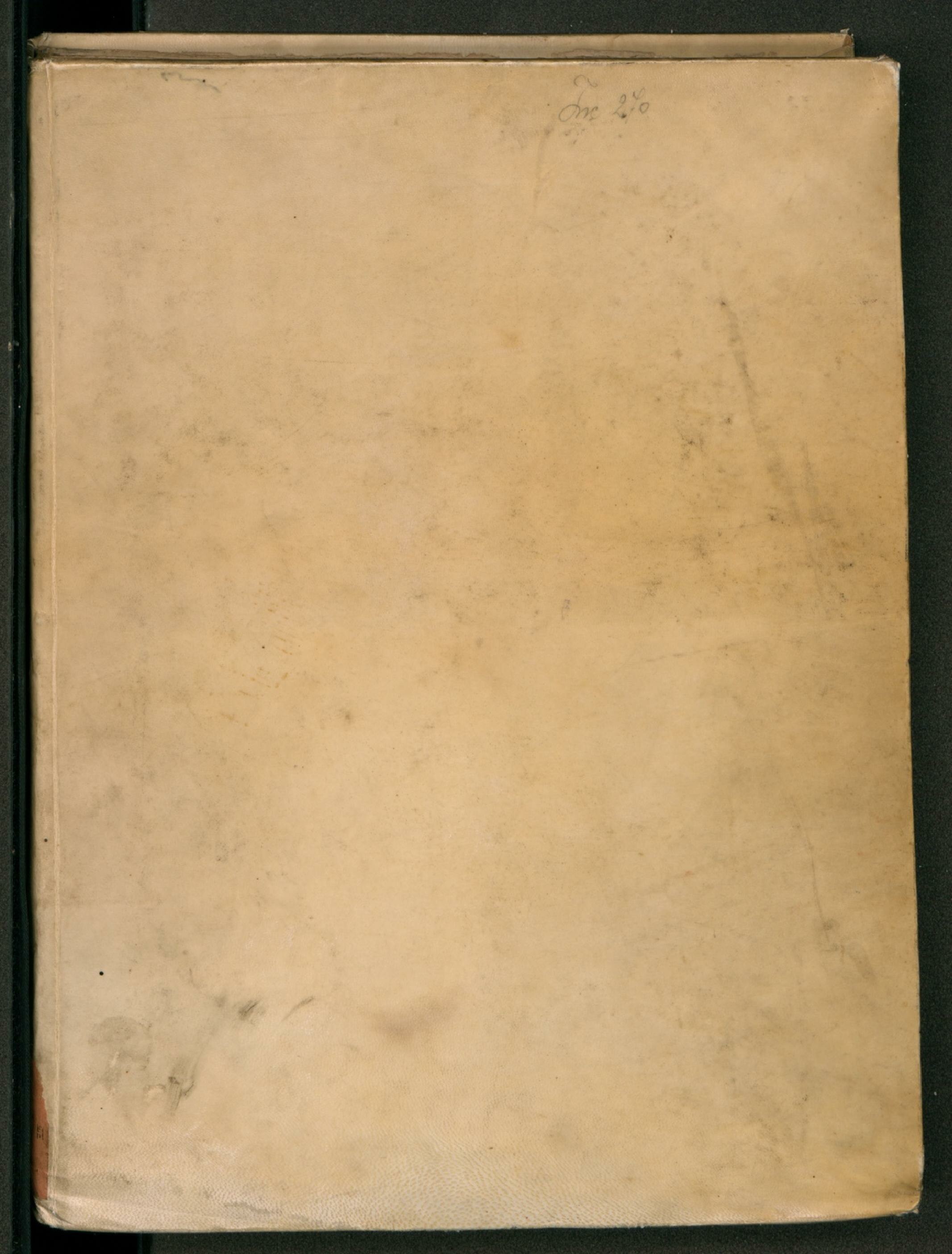
Original language title: Clavdii Ptholemei Alexandrini philosophi Cosmographia Русский: Шифр: Inc. 270
Français : Cote : Inc. 270
English: Shelfmark: Inc. 270
中文:排架号:Inc. 270
Português: Código: Inc. 270
العربية: علامة الرف: Inc. 270
Español: Signatura: Inc. 270 |
||||||||||||||||||||||
| Source/Photographer |
http://dl.wdl.org/10664/service/10664.pdf
|
||||||||||||||||||||||
Licensing[edit]
|
This is a faithful photographic reproduction of a two-dimensional, public domain work of art. The work of art itself is in the public domain for the following reason:
The official position taken by the Wikimedia Foundation is that "faithful reproductions of two-dimensional public domain works of art are public domain".
This photographic reproduction is therefore also considered to be in the public domain in the United States. In other jurisdictions, re-use of this content may be restricted; see Reuse of PD-Art photographs for details. | ||||
File history
Click on a date/time to view the file as it appeared at that time.
| Date/Time | Thumbnail | Dimensions | User | Comment | |
|---|---|---|---|---|---|
| current | 17:06, 10 March 2014 |  | 2,133 × 2,808, 228 pages (145.22 MB) | Fæ (talk | contribs) | Recompressed pdf based on png originals - fewer artefacts etc. (uploaded using chunked upload script) |
| 14:29, 10 March 2014 |  | 450 × 591, 228 pages (77.59 MB) | Fæ (talk | contribs) | =={{int:filedesc}}== {{Artwork |artist = |author ={{ru|1=Птолемей (II век)}} {{fr|1=Ptolémée (IIe siècle)}} {{en|1=Ptolemy, 2nd century}} {{zh|1=托勒密 (2 世纪)}} {{pt|1=Ptolomeu (Século II)}} {{ar|1=بطليموس (القرن ال... |
You cannot overwrite this file.
File usage on Commons
The following 2 pages use this file:
File usage on other wikis
The following other wikis use this file:
- Usage on www.wikidata.org