File:Contextual view of St. Peter's in Chapel Park, facing southeast. - Mare Island Naval Shipyard, St. Peter's Chapel, Walnut Street and Cedar Parkway, Vallejo, Solano County, HABS CAL,48-MARI,1C-5 (CT).tif
Jump to navigation
Jump to search

Size of this JPG preview of this TIF file: 442 × 599 pixels. Other resolutions: 177 × 240 pixels | 354 × 480 pixels | 567 × 768 pixels | 756 × 1,024 pixels | 1,511 × 2,048 pixels | 3,639 × 4,931 pixels.
Original file (3,639 × 4,931 pixels, file size: 51.34 MB, MIME type: image/tiff)
Captions
Captions
Add a one-line explanation of what this file represents
Summary[edit]
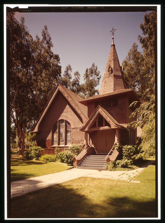
| Contextual view of St. Peter's in Chapel Park, facing southeast. - Mare Island Naval Shipyard, St. Peter's Chapel, Walnut Street and Cedar Parkway, Vallejo, Solano County, CA | ||||
|---|---|---|---|---|
| Photographer |
Hicks, Robert |
|||
| Title |
Contextual view of St. Peter's in Chapel Park, facing southeast. - Mare Island Naval Shipyard, St. Peter's Chapel, Walnut Street and Cedar Parkway, Vallejo, Solano County, CA |
|||
| Depicted place | California; Solano County; Vallejo | |||
| Date | 1996 | |||
| Dimensions | 5 x 7 in. | |||
| Current location |
Library of Congress Prints and Photographs Division Washington, D.C. 20540 USA http://hdl.loc.gov/loc.pnp/pp.print |
|||
| Accession number |
HABS CAL,48-MARI,1C-5 (CT) |
|||
| Credit line |
|
|||
| Source | https://www.loc.gov/pictures/item/ca1096.color.571972c | |||
| Permission (Reusing this file) |
|
|||

| Camera location | | View this and other nearby images on: OpenStreetMap |
|---|
File history
Click on a date/time to view the file as it appeared at that time.
| Date/Time | Thumbnail | Dimensions | User | Comment | |
|---|---|---|---|---|---|
| current | 20:16, 4 July 2014 |  | 3,639 × 4,931 (51.34 MB) | Fæ (talk | contribs) | GWToolset: Creating mediafile for Fæ. HABS 3 July 2014 (201:300) |
You cannot overwrite this file.
File usage on Commons
The following page uses this file: