File:DETAIL, COLUMN CAPITAL - Equitable Building, 25 Pryor Street Northeast, Atlanta, Fulton County, GA HABS GA,61-ATLA,13-12.tif
Jump to navigation
Jump to search
Size of this JPG preview of this TIF file: 757 × 600 pixels. Other resolutions: 303 × 240 pixels | 606 × 480 pixels | 970 × 768 pixels | 1,280 × 1,014 pixels | 2,560 × 2,028 pixels | 5,000 × 3,960 pixels.
Original file (5,000 × 3,960 pixels, file size: 18.89 MB, MIME type: image/tiff)
Captions
Captions
Add a one-line explanation of what this file represents
Summary[edit]
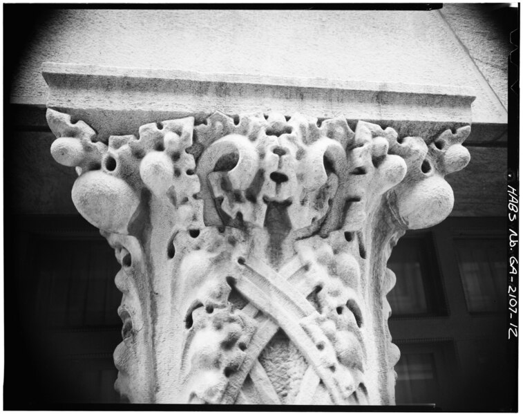
| DETAIL, COLUMN CAPITAL - Equitable Building, 25 Pryor Street Northeast, Atlanta, Fulton County, GA | ||||
|---|---|---|---|---|
| Title |
DETAIL, COLUMN CAPITAL - Equitable Building, 25 Pryor Street Northeast, Atlanta, Fulton County, GA |
|||
| Depicted place | Georgia; Fulton County; Atlanta | |||
| Date | Documentation compiled after 1933 | |||
| Dimensions | height: 4 in (10.1 cm); width: 5 in (12.7 cm) | |||
| Current location |
Library of Congress Prints and Photographs Division Washington, D.C. 20540 USA http://hdl.loc.gov/loc.pnp/pp.print |
|||
| Accession number |
HABS GA,61-ATLA,13-12 |
|||
| Credit line |
|
|||
| Notes |
|
|||
| Source | https://www.loc.gov/pictures/item/ga0118.photos.056678p | |||
| Permission (Reusing this file) |
|
|||

| Object location | | View this and other nearby images on: OpenStreetMap |
|---|
File history
Click on a date/time to view the file as it appeared at that time.
| Date/Time | Thumbnail | Dimensions | User | Comment | |
|---|---|---|---|---|---|
| current | 12:38, 13 July 2014 |  | 5,000 × 3,960 (18.89 MB) | Fæ (talk | contribs) | GWToolset: Creating mediafile for Fæ. HABS 09 July 2014 (801:1000) |
You cannot overwrite this file.
File usage on Commons
The following page uses this file: