File:DETAIL, WEST SIDE, VIEW TO NORTHEAST, SHOWING PANEL AND DECK STRUCTURE - Rome Westernville Road Bridge, Spanning Mohawk River, Rome, Oneida County, NY HAER NY,33-ROM,7-2.tif
Jump to navigation
Jump to search
Size of this JPG preview of this TIF file: 719 × 599 pixels. Other resolutions: 288 × 240 pixels | 576 × 480 pixels | 922 × 768 pixels | 1,229 × 1,024 pixels | 2,457 × 2,048 pixels | 4,906 × 4,089 pixels.
Original file (4,906 × 4,089 pixels, file size: 19.13 MB, MIME type: image/tiff)
Captions
Captions
Add a one-line explanation of what this file represents
Summary[edit]
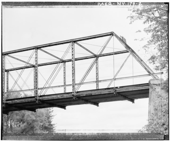
| DETAIL, WEST SIDE, VIEW TO NORTHEAST, SHOWING PANEL AND DECK STRUCTURE - Rome Westernville Road Bridge, Spanning Mohawk River, Rome, Oneida County, NY | ||||
|---|---|---|---|---|
| Photographer |
Related names:
|
|||
| Title |
DETAIL, WEST SIDE, VIEW TO NORTHEAST, SHOWING PANEL AND DECK STRUCTURE - Rome Westernville Road Bridge, Spanning Mohawk River, Rome, Oneida County, NY |
|||
| Depicted place | New York; Oneida County; Rome | |||
| Date | Documentation compiled after 1968 | |||
| Dimensions | height: 4 in (10.1 cm); width: 5 in (12.7 cm) | |||
| Current location |
Library of Congress Prints and Photographs Division Washington, D.C. 20540 USA http://hdl.loc.gov/loc.pnp/pp.print |
|||
| Accession number |
HAER NY,33-ROM,7-2 |
|||
| Credit line |
|
|||
| Notes |
|
|||
| Source | https://www.loc.gov/pictures/item/ny1562.photos.120860p | |||
| Permission (Reusing this file) |
|
|||

| Object location | | View this and other nearby images on: OpenStreetMap |
|---|
File history
Click on a date/time to view the file as it appeared at that time.
| Date/Time | Thumbnail | Dimensions | User | Comment | |
|---|---|---|---|---|---|
| current | 18:53, 29 July 2014 |  | 4,906 × 4,089 (19.13 MB) | Fæ (talk | contribs) | GWToolset: Creating mediafile for Fæ. HABS 24 July 2014 (2301:2600) |
You cannot overwrite this file.
File usage on Commons
The following page uses this file: